Pano360
收藏资源简介:
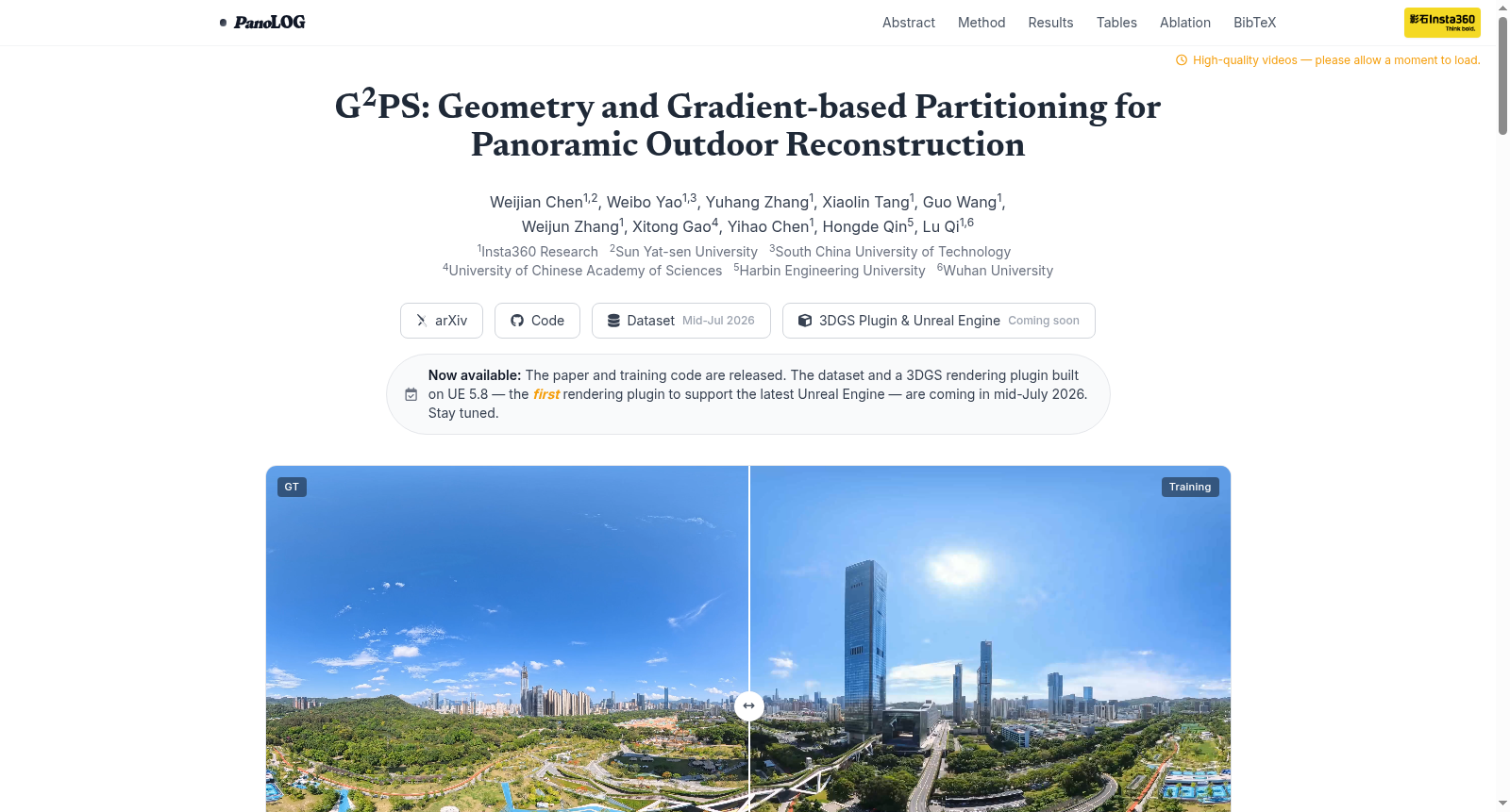
Pano360是由影石创新研究团队联合多所高校构建的首个面向大规模户外场景重建的全景数据集,覆盖校园、公园及商业街区等多种真实环境。该数据集包含5,637张高分辨率全景图像(3840×1920),覆盖面积超过200万平方米,并提供了精确的相机位姿标定与稀疏点云数据,为可复现的评估奠定基础。数据采集过程结合了Antigravity A1与Insta360 X5等专业设备,通过精心设计的空间采样策略确保了场景的多样性与几何一致性。该数据集主要应用于计算机视觉领域的大规模户外三维重建与新视角合成任务,旨在解决传统窄视场图像采集成本高昂、全景场景空间划分困难等挑战,推动全景视觉与可扩展三维重建技术的发展。
Pano360 is the first panoramic dataset dedicated to large-scale outdoor scene reconstruction, constructed by the Insta360 research team in collaboration with multiple universities. It covers diverse real-world environments including campuses, parks, commercial districts and other scenarios. This dataset contains 5,637 high-resolution panoramic images at a resolution of 3840×1920, spanning an area of over 2 million square meters, and comes with precise camera pose calibration results and sparse point cloud datasets, which lays a solid foundation for reproducible model evaluations. The data collection was carried out using professional equipment such as Antigravity A1 and Insta360 X5, and a meticulously designed spatial sampling strategy was employed to guarantee the diversity and geometric consistency of the captured scenes. This dataset is primarily utilized for large-scale outdoor 3D reconstruction and novel view synthesis tasks within the computer vision field. It aims to address key challenges including the high acquisition costs of traditional narrow-field-of-view (FOV) images and the difficulties in spatial partitioning of panoramic scenes, and advance the development of panoramic vision and scalable 3D reconstruction technologies.
数据集概述
数据集名称:Pano360
所属项目:PanoLOG(基于几何与梯度的全景室外重建框架)
发布机构:Insta360 Research 联合中山大学、华南理工大学、中国科学院大学、哈尔滨工程大学、武汉大学
数据集性质
- 首个大规模全景室外3DGS重建基准(Pano360),为全景三维高斯泼溅重建提供标准化测试平台。
- 包含至少4个子场景:A1 Drone子场景(NSC, NSK)、X5 Handheld子场景(BAX, NSN),以及公共全景数据集Ricoh360、360Roam。
数据集用途
- 评估大规模室外场景下的全景3DGS重建性能,支持PSNR、SSIM、LPIPS、模型大小(MB)等指标。
- 用于验证所提出的G2PS(Geometry and Gradient-based Partitioning Strategy)分区策略的有效性。
评价指标
- PSNR(峰值信噪比,↑越高越好)
- SSIM(结构相似性,↑越高越好)
- LPIPS(学习感知图像块相似度,↓越低越好)
- 模型大小(MB,↓越小越好)
代表性定量结果
Pano360数据集(A1 Drone子场景 - NSC)
| 方法 | PSNR↑ | SSIM↑ | LPIPS↓ | 模型大小↓ (MB) |
|---|---|---|---|---|
| H3DGS | 27.7787 | 0.8564 | 0.2457 | 1002.1 |
| CityGaussian | 27.7340 | 0.8453 | 0.2609 | 523.7 |
| DOGS | 26.8486 | 0.8186 | 0.2769 | 1024.0 |
| Momentum-GS | 26.4568 | 0.8311 | 0.2625 | 802.5 |
| Ours | 28.1838 | 0.8594 | 0.2435 | 463.5 |
Pano360数据集(X5 Handheld子场景 - NSN)
| 方法 | PSNR↑ | SSIM↑ | LPIPS↓ | 模型大小↓ (MB) |
|---|---|---|---|---|
| H3DGS | 23.4464 | 0.7530 | 0.3018 | 5734.4 |
| CityGaussian | 21.9492 | 0.6729 | 0.4221 | 526.6 |
| DOGS | 22.6743 | 0.6587 | 0.4454 | 774.9 |
| Momentum-GS | 22.9746 | 0.7052 | 0.3703 | 1331.2 |
| Ours | 24.6095 | 0.7508 | 0.3347 | 766.8 |
公共全景数据集(Ricoh360)
| 方法 | PSNR↑ | SSIM↑ | LPIPS↓ |
|---|---|---|---|
| OmniGS | 26.00 | 0.828 | 0.210 |
| 3DGS | 26.26 | 0.825 | 0.225 |
| ODGS | 22.71 | 0.748 | 0.326 |
| SpaGS | 26.11 | 0.832 | 0.243 |
| Ours | 26.48 | 0.845 | 0.183 |
发布日期与可用性
- 论文与训练代码已发布(arXiv:2607.08769)。
- 数据集及基于Unreal Engine 5.8的3DGS渲染插件将于2026年7月中旬发布。
许可证
- 网页文本与视觉内容遵循CC BY 4.0。
- 算法方法、模型权重及相关知识产权由作者及其所属机构保留。