
High-precision dataset of China's oases
收藏DataCite Commons2025-04-27 更新2025-05-18 收录
下载链接:
https://www.scidb.cn/detail?dataSetId=8b7c88ce594245eeb2cb655f0460f193
下载链接
链接失效反馈官方服务:
资源简介:
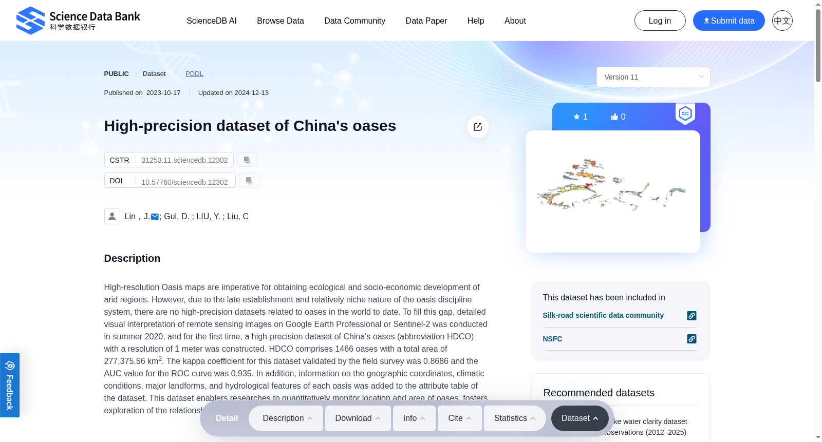
High-resolution Oasis maps are imperative for obtaining ecological and socio-economic development of arid regions. However, due to the late establishment and relatively niche nature of the oasis discipline system, there are no high-precision datasets related to oases in the world to date. To fill this gap, detailed visual interpretation of remote sensing images on Google Earth Professional or Sentinel-2 was conducted in summer 2020, and for the first time, a high-precision dataset of China's oases (abbreviation HDCO) with a resolution of 1 meter was constructed. HDCO comprises 1466 oases with a total area of 277,375.56 km2. The kappa coefficient for this dataset validated by the field survey was 0.8686 and the AUC value for the ROC curve was 0.935. In addition, information on the geographic coordinates, climatic conditions, major landforms, and hydrological features of each oasis was added to the attribute table of the dataset. This dataset enablers researches to quantitatively monitor location and area of oases, fosters exploration of the relationship between oases and human under climate change and urbanization.
高分辨率绿洲地图是支撑干旱区生态与社会经济发展研究的关键基础。然而,由于绿洲学科体系构建较晚且研究方向相对小众,截至目前全球尚未发布相关高精度绿洲数据集。为填补这一研究空白,研究团队于2020年夏季针对谷歌地球专业版(Google Earth Professional)与哨兵-2(Sentinel-2)遥感影像开展了精细化目视解译工作,并首次构建了分辨率为1米的中国绿洲高精度数据集(简称HDCO)。该数据集共涵盖1466处绿洲,总面积达277375.56平方千米。经野外调查验证,该数据集的Kappa系数为0.8686,受试者工作特征(ROC)曲线下面积(AUC)为0.935。此外,该数据集的属性表中还补充了每一处绿洲的地理坐标、气候条件、主要地貌类型与水文特征等信息。该数据集可支持研究人员定量监测绿洲的位置与面积变化,有助于探索气候变化与城市化背景下绿洲与人类活动的相互关系。
提供机构:
Science Data Bank
创建时间:
2023-10-17
搜集汇总
数据集介绍
背景与挑战
背景概述
该数据集是中国首个高精度绿洲数据集,包含1466个绿洲的详细地理和气候信息,分辨率为1米,验证精度高,适用于生态和社会经济发展研究。
以上内容由遇见数据集搜集并总结生成



