广东海岸带湿地资源分布图(1:150万)
收藏资源简介:
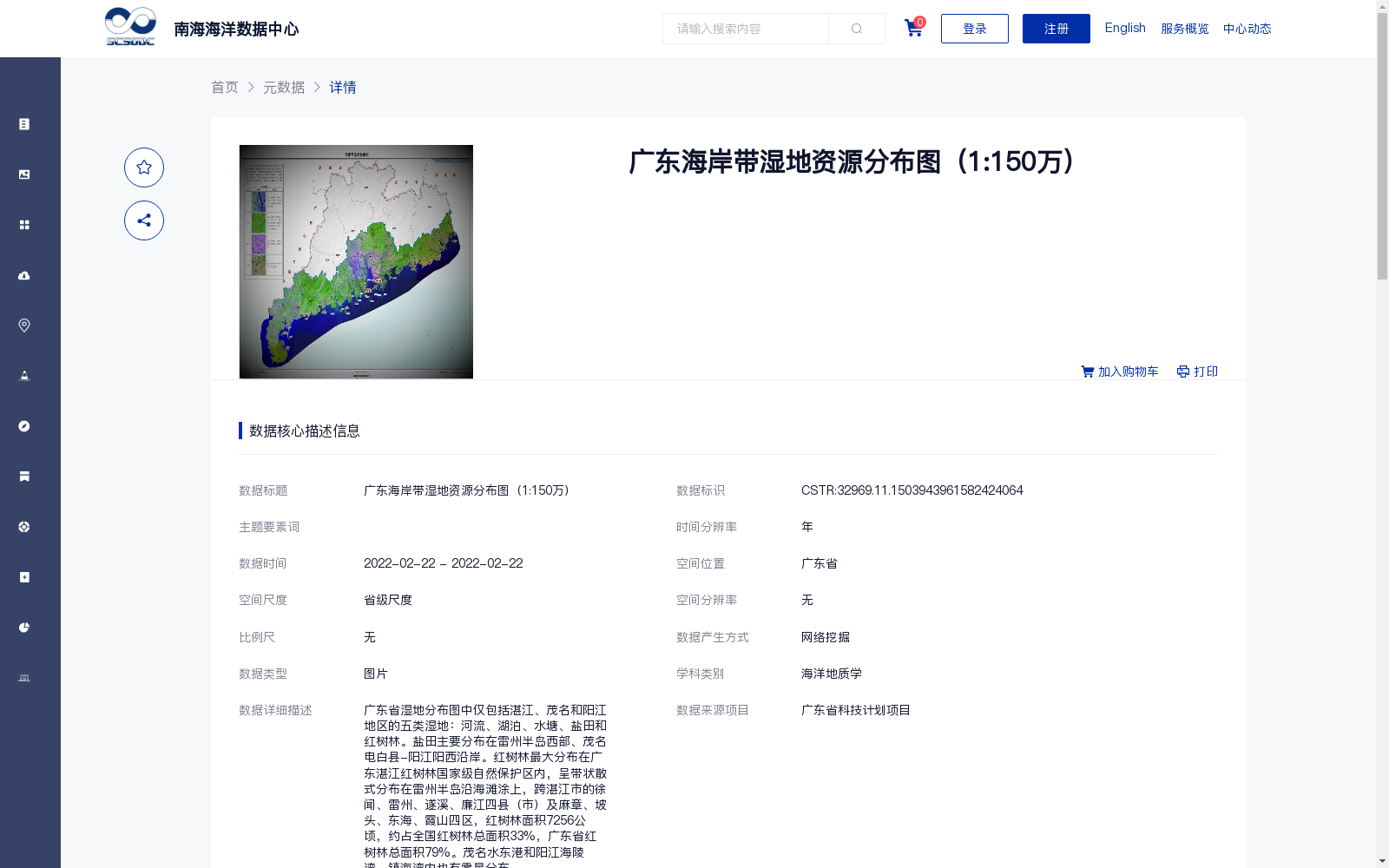
广东省湿地分布图中仅包括湛江、茂名和阳江地区的五类湿地:河流、湖泊、水塘、盐田和红树林。盐田主要分布在雷州半岛西部、茂名电白县-阳江阳西沿岸。红树林最大分布在广东湛江红树林国家级自然保护区内,呈带状散式分布在雷州半岛沿海滩涂上,跨湛江市的徐闻、雷州、遂溪、廉江四县(市)及麻章、坡头、东海、霞山四区,红树林面积7256公顷,约占全国红树林总面积33%,广东省红树林总面积79%。茂名水东港和阳江海陵湾、镇海湾内也有零星分布。
The wetland distribution map of Guangdong Province only covers five wetland types in Zhanjiang, Maoming and Yangjiang: rivers, lakes, ponds, salt pans and mangroves. Salt pans are mainly distributed in the western Leizhou Peninsula, as well as along the coasts of Dianbai County (under Maoming) and Yangxi County (under Yangjiang). The largest contiguous mangrove area is situated within the Zhanjiang Mangrove National Nature Reserve. These mangroves are distributed in a banded, scattered pattern across the coastal tidal flats of the Leizhou Peninsula, spanning four county-level cities (Xuwen, Leizhou, Suixi and Lianjiang) and four districts (Mazhang, Potou, Donghai and Xiashan) under the jurisdiction of Zhanjiang City. The total area of these mangroves amounts to 7,256 hectares, accounting for roughly 33% of the total national mangrove area and 79% of the total mangrove area in Guangdong Province. Scattered mangrove patches can also be found in Shuidong Port (Maoming), Hailing Bay and Zhenhai Bay, all within Yangjiang City.