2003-2021年黄河流域逐月1km分辨率VCI和TCI干旱指数数据集
收藏国家生态科学数据中心2024-03-04 收录
下载链接:
http://www.nesdc.org.cn/sdo/detail?id=64f9b98c7e281774b9054f2b
下载链接
链接失效反馈官方服务:
资源简介:
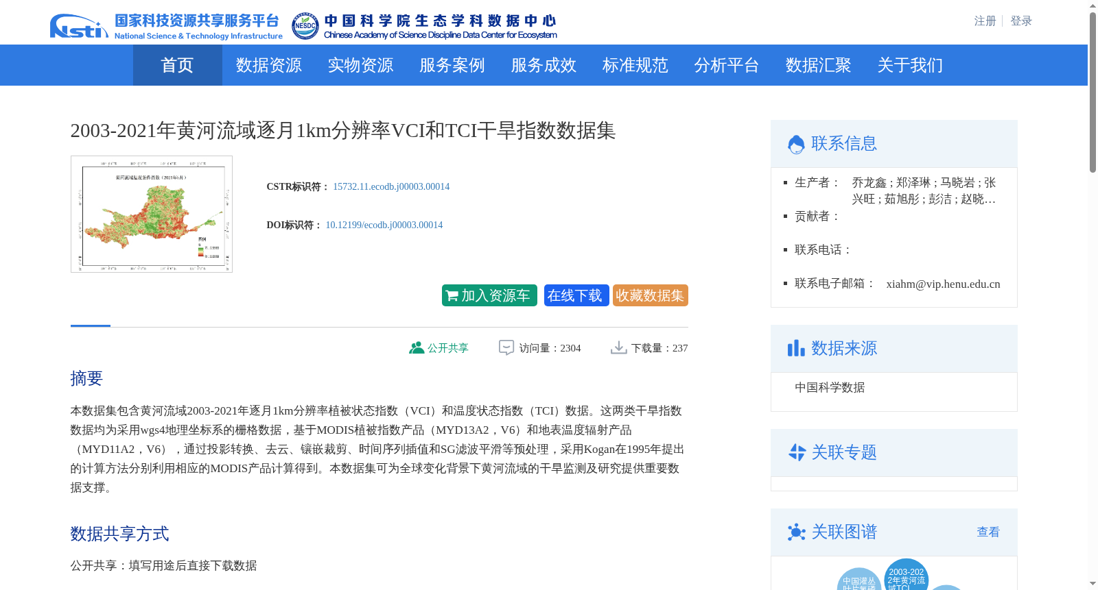
本数据集包含黄河流域2003-2021年逐月1km分辨率植被状态指数(VCI)和温度状态指数(TCI)数据。这两类干旱指数数据均为采用wgs4地理坐标系的栅格数据,基于MODIS植被指数产品(MYD13A2,V6)和地表温度辐射产品(MYD11A2,V6),通过投影转换、去云、镶嵌裁剪、时间序列插值和SG滤波平滑等预处理,采用Kogan在1995年提出的计算方法分别利用相应的MODIS产品计算得到。本数据集可为全球变化背景下黄河流域的干旱监测及研究提供重要数据支撑。
This dataset contains monthly 1 km-resolution Vegetation Condition Index (VCI) and Temperature Condition Index (TCI) data for the Yellow River Basin spanning from 2003 to 2021. Both drought index datasets are raster data using the WGS 84 geographic coordinate system. They were generated by applying the calculation method proposed by Kogan in 1995 to the corresponding MODIS products, following preprocessing procedures including projection transformation, cloud removal, mosaic and clipping, time series interpolation, and SG filter smoothing, based on the MODIS Vegetation Index product (MYD13A2, V6) and Land Surface Temperature Radiation product (MYD11A2, V6). This dataset can provide essential data support for drought monitoring and research in the Yellow River Basin under the context of global change.
创建时间:
2023-01-12
搜集汇总
数据集介绍
背景与挑战
背景概述
该数据集包含2003-2021年黄河流域逐月1km分辨率的VCI和TCI干旱指数,基于MODIS产品计算,适用于干旱监测及全球变化研究。
以上内容由遇见数据集搜集并总结生成


