1952-2018年中国历史氮肥施用数据集
收藏国家生态科学数据中心2024-03-04 收录
下载链接:
http://www.nesdc.org.cn/sdo/detail?id=638d61df7e28173e660814ca
下载链接
链接失效反馈官方服务:
资源简介:
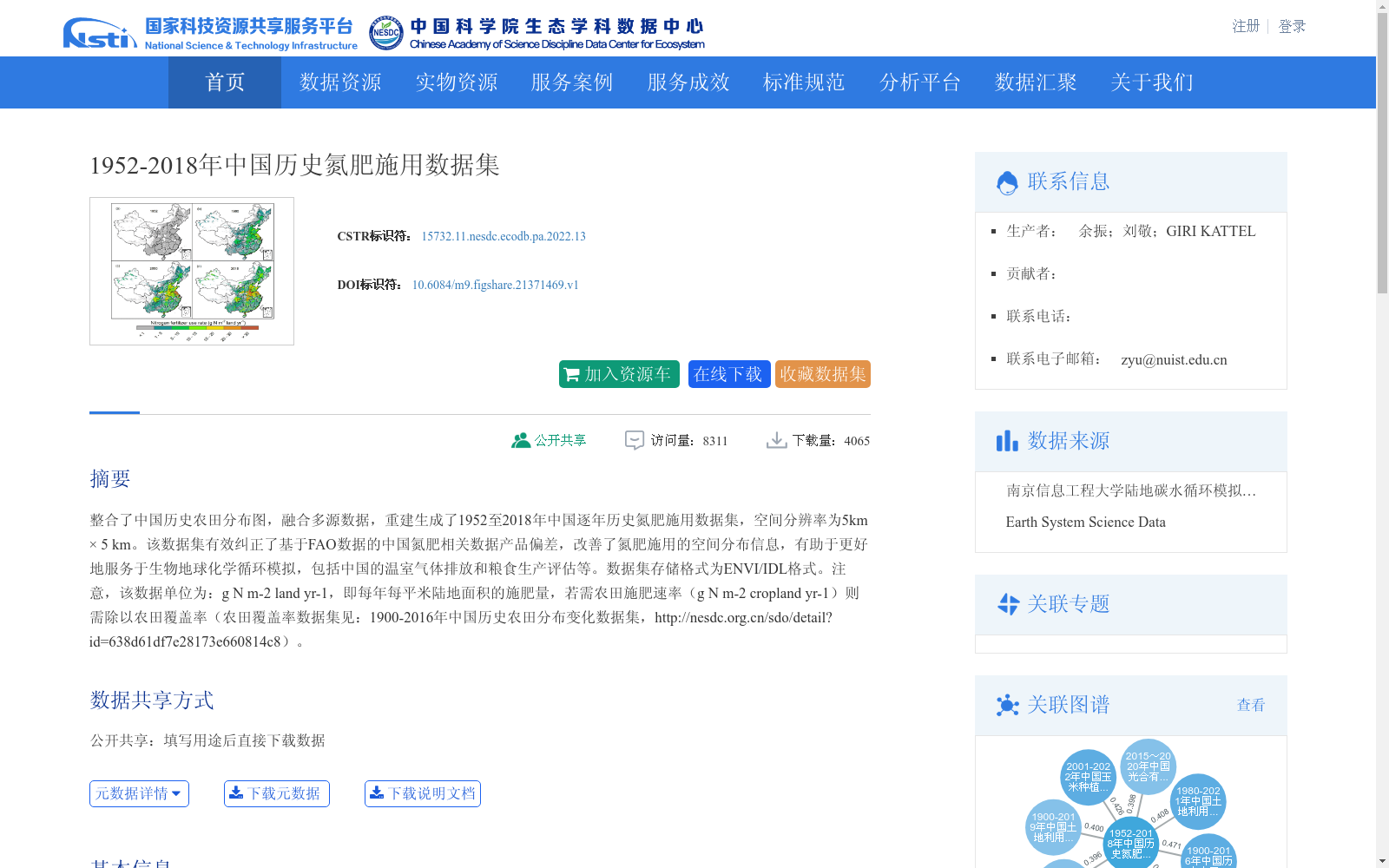
整合了中国历史农田分布图,融合多源数据,重建生成了1952至2018年中国逐年历史氮肥施用数据集,空间分辨率为5km × 5 km。该数据集有效纠正了基于FAO数据的中国氮肥相关数据产品偏差,改善了氮肥施用的空间分布信息,有助于更好地服务于生物地球化学循环模拟,包括中国的温室气体排放和粮食生产评估等。数据集存储格式为ENVI/IDL格式。注意,该数据单位为:g N m-2 land yr-1,即每年每平米陆地面积的施肥量,若需农田施肥速率(g N m-2 cropland yr-1)则需除以农田覆盖率(农田覆盖率数据集见:1900-2016年中国历史农田分布变化数据集,http://nesdc.org.cn/sdo/detail?id=638d61df7e28173e660814c8)。
This dataset integrates historical cropland distribution maps of China and fuses multi-source data to reconstruct and generate an annual historical nitrogen fertilizer application dataset for China covering the period from 1952 to 2018, with a spatial resolution of 5 km × 5 km. This dataset effectively corrects the biases of existing China-focused nitrogen fertilizer data products derived from FAO datasets, and improves the spatial distribution details of nitrogen fertilizer application. It supports more robust biogeochemical cycle simulations, including assessments of greenhouse gas emissions and grain production in China, among other applications. The dataset is stored in ENVI/IDL format. Note that the unit of this dataset is g N m⁻² land yr⁻¹, representing the annual fertilizer application rate per square meter of terrestrial land. To obtain the cropland-specific fertilizer application rate (g N m⁻² cropland yr⁻¹), one needs to divide this value by the cropland coverage ratio. The cropland coverage dataset is the 1900–2016 Historical Cropland Distribution Change Dataset of China, accessible at: http://nesdc.org.cn/sdo/detail?id=638d61df7e28173e660814c8.
提供机构:
团队
创建时间:
2022-10-21
搜集汇总
数据集介绍
背景与挑战
背景概述
该数据集整合了中国历史农田分布图和多源数据,重建了1952年至2018年逐年氮肥施用数据,空间分辨率为5km×5km,有效纠正了基于FAO数据的偏差,改善了氮肥施用的空间分布信息。它主要用于生物地球化学循环模拟,如温室气体排放和粮食生产评估,数据格式为ENVI/IDL,存储量372.70MB,覆盖中国全境。
以上内容由遇见数据集搜集并总结生成


