云南省1:10万土地利用数据集(2000)
收藏国家地球系统科学数据中心2016-07-11 更新2024-03-04 收录
下载链接:
https://www.geodata.cn/data/datadetails.html?dataguid=225768405124424&docId=33469
下载链接
链接失效反馈官方服务:
资源简介:
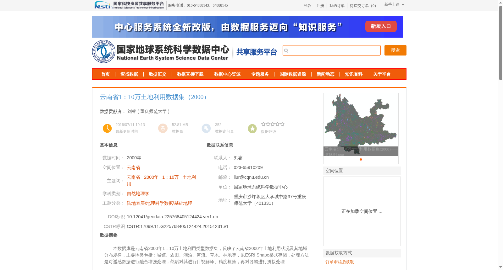
本数据库是云南省2000年1:10万土地利用类型数据集,反映了云南省2000年土地利用状况及其地域分布规律,主要地类包括:城镇、农田、湖泊、河流、草地、林地等,以ESRI Shape格式存储,处理方法是对遥感数据进行融合增强处理,然后对其进行目视解译、精度检验,再对各幅进行拼接处理
This database is a 1:100,000 scale land use type dataset of Yunnan Province in 2000, which reflects the land use status and regional distribution patterns of Yunnan Province in that year. The main land use types include urban areas, farmland, lakes, rivers, grasslands, woodlands, and other categories. It is stored in ESRI Shapefile format. The processing workflow is as follows: first, perform fusion and enhancement processing on remote sensing data, then conduct visual interpretation and accuracy verification, and finally mosaic all the individual image tiles.
提供机构:
重庆师范大学
创建时间:
2015-12-31
搜集汇总
数据集介绍
背景与挑战
背景概述
该数据集是云南省2000年1:10万土地利用数据,通过遥感影像人工解译获得,包含城镇、农田、湖泊等主要地类信息,数据精度为1:10万,适用于地理科学研究。
以上内容由遇见数据集搜集并总结生成


