长江源园区曲麻莱湿地样方无人机航拍原始数据(2018)
收藏国家青藏高原科学数据中心2022-05-20 更新2024-03-01 收录
下载链接:
https://data.tpdc.ac.cn/zh-hans/data/615d117f-bd79-4174-b0b9-d23063d78612
下载链接
链接失效反馈官方服务:
资源简介:
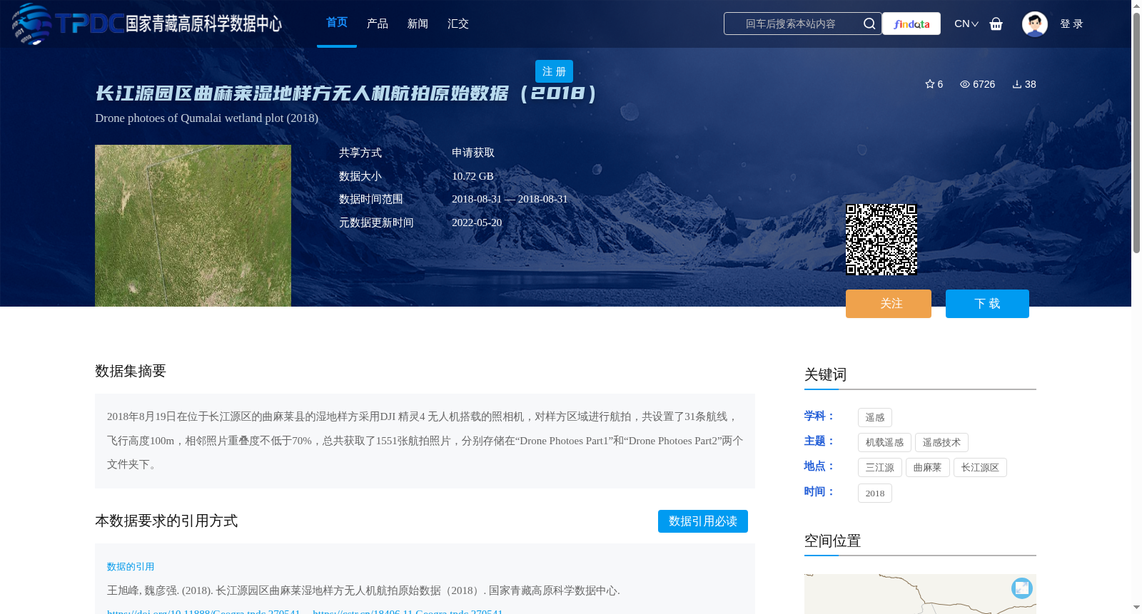
2018年8月19日在位于长江源区的曲麻莱县的湿地样方采用DJI 精灵4 无人机搭载的照相机,对样方区域进行航拍,共设置了31条航线,飞行高度100m,相邻照片重叠度不低于70%,总共获取了1551张航拍照片,分别存储在“Drone Photoes Part1”和“Drone Photoes Part2”两个文件夹下。
On August 19, 2018, aerial photography was conducted over wetland sampling plots in Qumalai County, located in the source region of the Yangtze River, using a camera mounted on a DJI Phantom 4 UAV. A total of 31 flight routes were established, with a flight altitude of 100 meters and the overlap between adjacent photos no less than 70%. In total, 1551 aerial photographs were acquired, which were separately stored in two folders named "Drone Photoes Part1" and "Drone Photoes Part2".
提供机构:
王旭峰,魏彦强
创建时间:
2018-11-21
搜集汇总
数据集介绍
背景与挑战
背景概述
该数据集包含2018年8月19日在长江源区曲麻莱县湿地样方通过DJI精灵4无人机航拍的1551张照片,飞行高度100米,照片重叠度不低于70%,数据总量为10.72 GB。数据用于遥感研究,覆盖三江源和长江源区。
以上内容由遇见数据集搜集并总结生成


