黑河流域行政边界数据集
收藏国家青藏高原科学数据中心2021-04-19 更新2024-03-07 收录
下载链接:
https://data.tpdc.ac.cn/zh-hans/data/6e1e5490-f32d-4efc-b25b-0d86039dd998
下载链接
链接失效反馈官方服务:
资源简介:
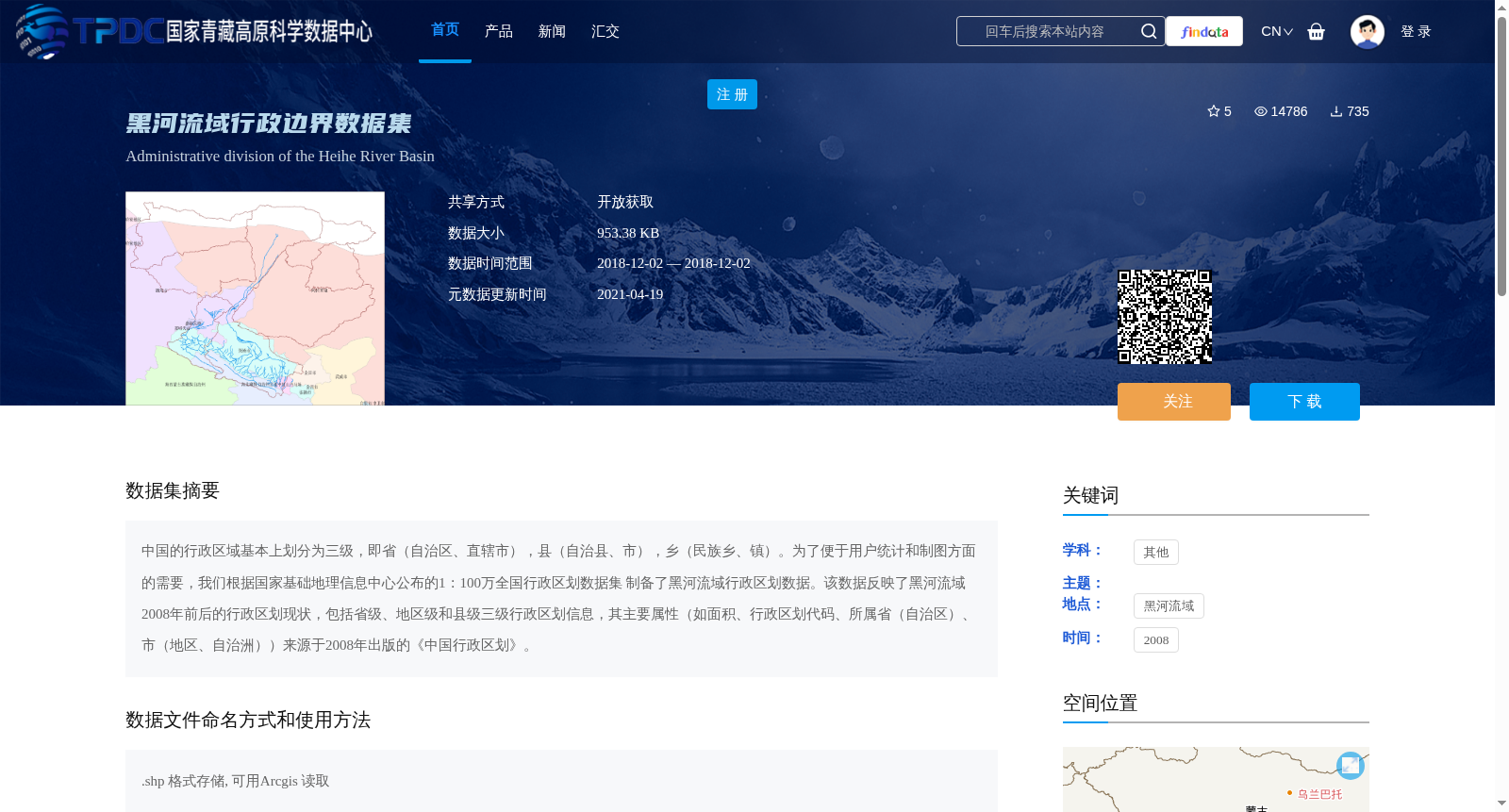
中国的行政区域基本上划分为三级,即省(自治区、直辖市),县(自治县、市),乡(民族乡、镇)。为了便于用户统计和制图方面的需要,我们根据国家基础地理信息中心公布的1:100万全国行政区划数据集
制备了黑河流域行政区划数据。该数据反映了黑河流域2008年前后的行政区划现状,包括省级、地区级和县级三级行政区划信息,其主要属性(如面积、行政区划代码、所属省(自治区)、市(地区、自治洲))来源于2008年出版的《中国行政区划》。
The administrative divisions of China generally consist of three hierarchical levels: provinces (including autonomous regions and municipalities directly under the Central Government), counties (including autonomous counties and county-level cities), and townships (including ethnic townships and towns). To meet users' requirements for statistical analysis and cartography, we compiled the administrative division dataset for the Heihe River Basin based on the 1:1,000,000-scale national administrative divisions dataset published by the National Geomatics Center of China. This dataset reflects the administrative division status of the Heihe River Basin circa 2008, covering three levels of administrative divisions: provincial, prefecture-level, and county-level. Key attributes of this dataset, such as area, administrative division code, affiliated province (autonomous region), and affiliated city (prefecture, autonomous prefecture), are sourced from the publication *China's Administrative Divisions* published in 2008.
提供机构:
吴立宗
创建时间:
2013-08-02
搜集汇总
数据集介绍
背景与挑战
背景概述
该数据集为黑河流域2008年前后的行政区划数据,包含省级、地区级和县级三级行政区划信息,以.shp格式存储,适用于统计和制图需求。
以上内容由遇见数据集搜集并总结生成


