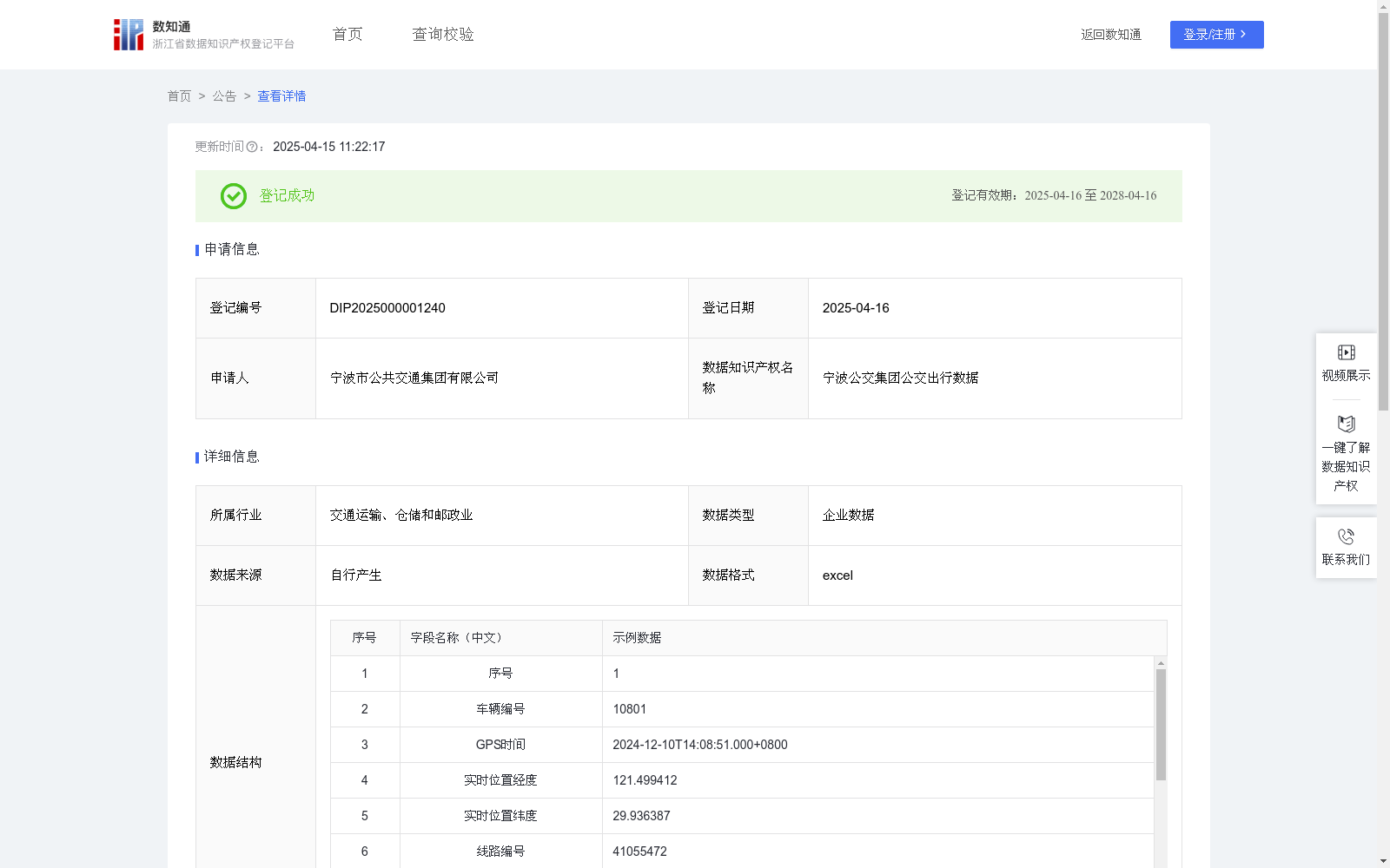
宁波公交集团公交出行数据
收藏浙江省数据知识产权登记平台2025-04-15 更新2025-04-16 收录
下载链接:
https://www.zjip.org.cn/home/announce/trends/124005
下载链接
链接失效反馈官方服务:
资源简介:
客可基于数据集开发的应用程序,实时查询公交线路、车辆位置、预计到站时间等信息,合理规划出行路线,减少候车时间。公交运营公司可利用数据集进行车辆调度优化,根据不同时段、不同线路的客流量数据,合理安排发车频率和车辆调配,提高运营效率,降低运营成本。城市规划与交通管理部门可依据数据集分析公交客流分布特征,为城市交通规划提供数据支持。一、数据采集
1.1人工录入:公司员工在系统中手动输入站点信息、线路信息、线路站点信息、线路首末班信息等原始数据。
1.2车载终端设备收集:公交车的终端设备自动收集公交实时位置原始数据,并上传至本地服务器。终端设备发送车辆编号、线路编号和车辆上下行标记,GPS 设备定时发送 GPS 时间、经度、纬度、方向(度)、速度(km/h)。
二、数据处理
2.1数据清洗:针对人工录入数据,检查是否存在重复录入情况,比如重复的站点信息、线路信息等,利用查重算法筛选出重复记录并删除。
2.2格式统一:将人工录入数据的格式进行标准化,例如站点名称统一使用规范的地名表述,线路编号统一采用特定的编码规则。
2.3数据整合:以线路编号作为关键连接字段,将人工录入的线路相关基础信息与车载终端设备收集的实时位置数据进行关联整合。
2.4数据转换:为便于后续分析,将一些数据进行转换处理。例如,将经纬度数据从原始的度分秒格式转换为十进制格式,将速度数据从 km/h 转换为 m/s。
三、数据分析
3.1判断公交是否处于运行时间段:实时位置表匹配线路首末班表,通过比对实时时间与线路首末班时间来判断公交是否处于运行时间段。假设GPS时间为T,首站线路首班时间为T_start,末站线路末班时间为T_end,当T_start≤T≤ T_end时,判定公交处于运行时间段。
3.2获取站点名称:若公交处于运行时间段,则根据线路编号和站点序号获取站点名称、站点中心位置经度、站点中心位置纬度、站点半径。
3.3判断公交是否到站:设实时位置的经度为L_real、纬度为B_real,站点中心位置经度为L_station、纬度为B_station,站点半径为R,通过计算两点间距离公式d=sqrt(L_real-L_station)^2+(B_real-B_station)^2,当d≤R时,则判断公交到达站点。
四、数据应用
乘客通过应用软件查询可直观看到所关注公交线路的实时位置、预计到达时间,提前规划出行,减少在公交站的等待时间。
Users can develop applications based on this dataset to query real-time bus routes, vehicle locations, estimated arrival times and other information in real time, reasonably plan travel routes and reduce waiting time. Bus operation companies can use the dataset to optimize vehicle scheduling: based on passenger flow data of different periods and routes, reasonably arrange departure frequencies and vehicle allocation, improve operational efficiency and reduce operating costs. Urban planning and traffic management departments can analyze the characteristics of bus passenger flow distribution based on the dataset, providing data support for urban traffic planning.
1. Data Collection
1.1 Manual Entry: Company employees manually input original data such as station information, route information, route-station information, and route first/last service time information into the system.
1.2 On-board Terminal Device Collection: The on-board terminal devices of buses automatically collect real-time bus location raw data and upload it to the local server. The terminal devices send vehicle number, route number and vehicle up/down direction marker. The GPS units regularly send GPS time, longitude, latitude, direction (degrees) and speed (km/h).
2. Data Processing
2.1 Data Cleaning: For manually entered data, check for duplicate entries such as duplicate station information and route information, and use deduplication algorithms to filter out and delete duplicate records.
2.2 Format Standardization: Standardize the format of manually entered data. For example, uniformly use standardized place names for station names, and uniformly adopt specific coding rules for route numbers.
2.3 Data Integration: Take the route number as the key connection field to associate and integrate the basic route-related information manually entered with the real-time location data collected by the on-board terminal devices.
2.4 Data Transformation: For the convenience of subsequent analysis, perform transformation processing on some data. For example, convert longitude and latitude data from the original degrees-minutes-seconds (DMS) format to decimal format, and convert speed data from km/h to m/s.
3. Data Analysis
3.1 Determine whether the bus is within the operating time window: Match the real-time location table with the route first/last service table, and judge whether the bus is within the operating time window by comparing the real-time time with the route first/last service time. Assume that the GPS time is T, the first service time of the starting station is T_start, and the last service time of the terminal station is T_end. When T_start ≤ T ≤ T_end, it is determined that the bus is within the operating time window.
3.2 Obtain station information: If the bus is within the operating time window, obtain the station name, the longitude and latitude of the station center, and the station radius according to the route number and station serial number.
3.3 Determine whether the bus has arrived at the station: Let the real-time longitude be L_real, latitude be B_real, the station center longitude be L_station, latitude be B_station, and the station radius be R. Calculate the distance between the two points using the formula d = sqrt((L_real - L_station)^2 + (B_real - B_station)^2). When d ≤ R, it is determined that the bus has arrived at the station.
4. Data Application
Passengers can intuitively view the real-time location and estimated arrival time of the bus routes they care about through the application software, plan their trips in advance and reduce waiting time at bus stops.
提供机构:
宁波市公共交通集团有限公司
创建时间:
2025-03-12
搜集汇总
数据集介绍
背景与挑战
背景概述
该数据集由宁波市公共交通集团有限公司提供,包含公交车辆实时位置、线路信息、站点信息等,数据规模为500条,每日更新。适用于公交实时查询、车辆调度优化及城市规划等场景。
以上内容由遇见数据集搜集并总结生成


