2000-2019年中国逐年500米分辨率灌溉农田数据集
收藏国家生态科学数据中心2024-03-04 收录
下载链接:
http://www.nesdc.org.cn/sdo/detail?id=6406a0857e281740ae0f2924
下载链接
链接失效反馈官方服务:
资源简介:
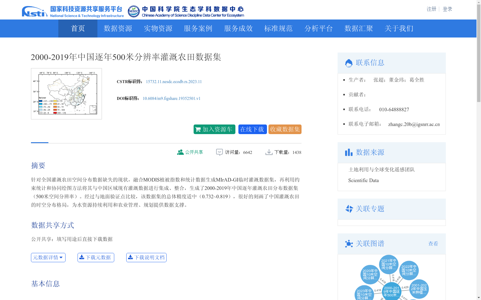
针对全国灌溉农田空间分布数据缺失的现状,融合MODIS植被指数和统计数据生成MIrAD-GI临时灌溉数据集,再利用约束统计和协同绘图方法将其与中国区域现有灌溉数据进行集成、整合,生成了2000-2019年中国逐年灌溉农田分布数据集(500米空间分辨率)。经过与地面验证点比较,该数据集的总体精度适中(0.732~0.819),很好的刻画了中国灌溉农田的时空分布格局,为水资源持续利用和农业管理、规划提供数据支撑。
Addressing the shortage of spatial distribution data for national irrigated farmland, this study integrated MODIS vegetation indices and statistical data to generate the MIrAD-GI provisional irrigation dataset. Subsequently, constrained statistics and collaborative mapping methods were employed to integrate and consolidate this provisional dataset with existing regional irrigation data of China, thereby producing the annual irrigated farmland distribution dataset of China from 2000 to 2019 with a spatial resolution of 500 meters. Compared with ground validation points, this dataset exhibits a moderate overall accuracy ranging from 0.732 to 0.819, and well characterizes the spatio-temporal distribution pattern of irrigated farmland in China, providing data support for sustainable water resource utilization, agricultural management and planning.
提供机构:
团队
创建时间:
2022-03-14
搜集汇总
数据集介绍
背景与挑战
背景概述
该数据集提供了2000年至2019年中国逐年灌溉农田的空间分布信息,空间分辨率为500米,通过融合MODIS植被指数和统计数据,并整合现有灌溉数据生成。数据集总体精度适中(0.732~0.819),能有效刻画灌溉农田的时空格局,为水资源持续利用和农业管理规划提供重要数据支撑。
以上内容由遇见数据集搜集并总结生成


