黄土高原1km分辨率逐8天植被状况指数(VCI)数据集(2000-2019年)
收藏国家地球系统科学数据中心2025-12-18 更新2025-12-20 收录
下载链接:
https://www.geodata.cn/data/datadetails.html?dataguid=56741344751536&docId=374
下载链接
链接失效反馈官方服务:
资源简介:
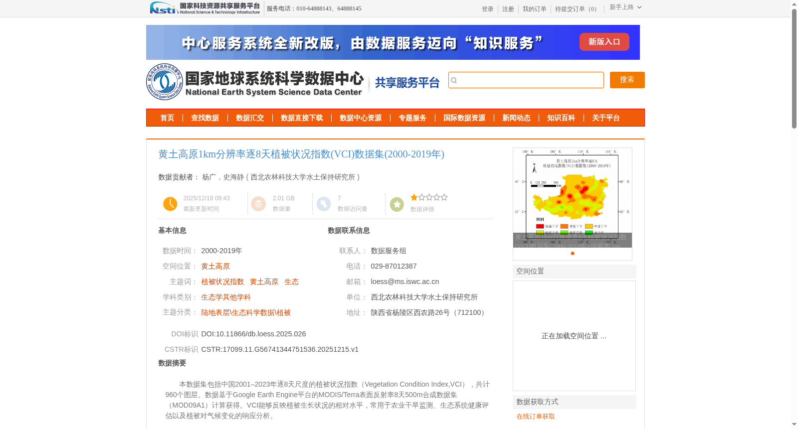
本数据集包括中国2001–2023年逐8天尺度的植被状况指数(Vegetation Condition Index,VCI),共计960个图层。数据基于Google Earth Engine平台的MODIS/Terra表面反射率8天500m合成数据集(MOD09A1)计算获得。VCI能够反映植被生长状况的相对水平,常用于农业干旱监测、生态系统健康评估以及植被对气候变化的响应分析。
This dataset contains 960 layers of the Vegetation Condition Index (VCI) at an 8-day interval over China from 2001 to 2023. The data was calculated based on the MODIS/Terra Surface Reflectance 8-Day 500m Composite Dataset (MOD09A1) from the Google Earth Engine platform. The VCI reflects the relative level of vegetation growth conditions, and is commonly used in agricultural drought monitoring, ecosystem health assessment, and analysis of vegetation responses to climate change.
提供机构:
西北农林科技大学水土保持研究所
创建时间:
2025-12-15
搜集汇总
数据集介绍
背景与挑战
背景概述
该数据集包含黄土高原2000-2019年逐8天的1km分辨率植被状况指数(VCI),共960个图层,基于MOD09A1数据计算,适用于农业干旱监测和生态健康评估。
以上内容由遇见数据集搜集并总结生成


