
Utah Geological Survey Lidar
收藏DataONE2013-05-09 更新2024-06-27 收录
下载链接:
https://search.dataone.org/view/sha256:84da2f3a81a07dddf9c3b01d1edb94e24aeb5da22c75652a23a03d3ef8270274
下载链接
链接失效反馈官方服务:
资源简介:
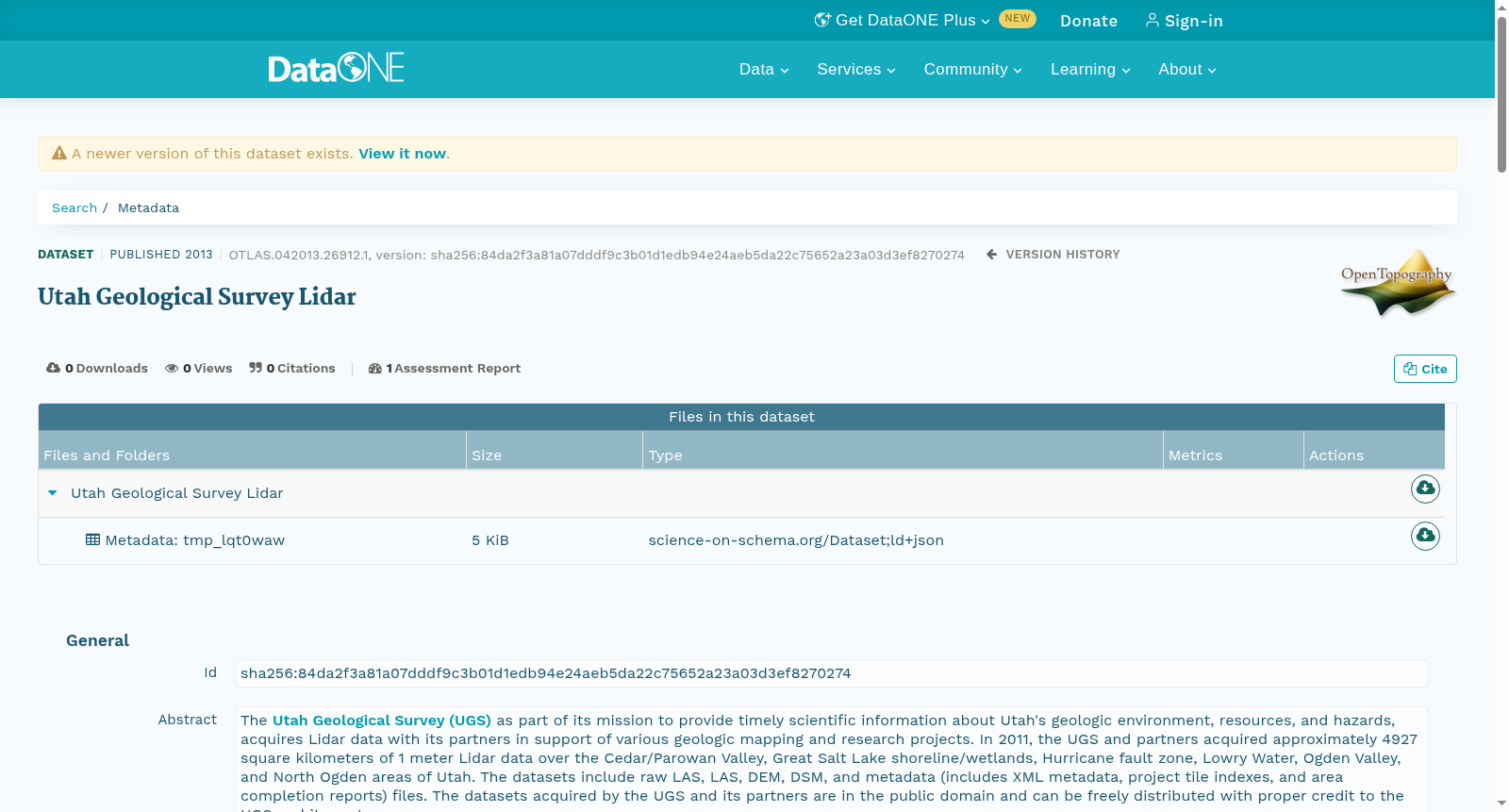
<p>The <a href=\"http://geology.utah.gov/\" title=\"Utah Geological Survey (UGS)\">Utah Geological Survey (UGS)</a> as part of its mission to provide timely scientific information about Utah's geologic environment, resources, and hazards, acquires Lidar data with its partners in support of various geologic mapping and research projects. In 2011, the UGS and partners acquired approximately 4927 square kilometers of 1 meter Lidar data over the Cedar/Parowan Valley, Great Salt Lake shoreline/wetlands, Hurricane fault zone, Lowry Water, Ogden Valley, and North Ogden areas of Utah. The datasets include raw LAS, LAS, DEM, DSM, and metadata (includes XML metadata, project tile indexes, and area completion reports) files. The datasets acquired by the UGS and its partners are in the public domain and can be freely distributed with proper credit to the UGS and its partners.</p> <p>These datasets were funded by the Utah Geological Survey, with the exception of the Great Salt Lake area, which was funded by the U.S. Environmental Protection Agency (grant no. CD-96811101-0) and the UGS, and the North Ogden area, which was funded by the <a href=\"https://dem.utah.gov/hazards-and-mitigation/nfip-national-flood-insurance-program/\" title=\"Utah Division of Emergency Management, Floodplain Management Program\">Utah Division of Emergency Management, Floodplain Management Program</a>.</p>
犹他州地质调查局(Utah Geological Survey,UGS)以及时提供犹他州地质环境、资源与灾害相关科学信息为核心使命,联合合作伙伴采集激光雷达(Lidar)数据,用于支撑各类地质填图与研究项目。2011年,UGS及其合作伙伴针对犹他州境内的锡达/帕罗万谷、大盐湖岸线/湿地、飓风断裂带、洛里水域、奥格登谷及北奥格登区域,采集了约4927平方千米的1米分辨率激光雷达数据。该数据集涵盖原始LAS格式文件、LAS格式文件、数字高程模型(DEM)、数字表面模型(DSM)以及元数据文件(包含XML元数据、项目瓦片索引与区域完成报告)。UGS及其合作伙伴采集的此类数据集属于公共领域资源,可在注明UGS及其合作伙伴的前提下自由分发。
本数据集由犹他州地质调查局资助,其中大盐湖区域由美国环境保护署(资助编号CD-96811101-0)与UGS联合资助,北奥格登区域则由犹他州应急管理局洪泛区管理项目资助。
创建时间:
2023-10-30
搜集汇总
数据集介绍
以上内容由遇见数据集搜集并总结生成


