南师大仙林北区正射影像14期数据(20220118-20230301)
收藏国家地球系统科学数据中心2024-10-22 更新2024-09-14 收录
下载链接:
https://www.geodata.cn/data/datadetails.html?dataguid=107279330450400&docId=2309
下载链接
链接失效反馈官方服务:
资源简介:
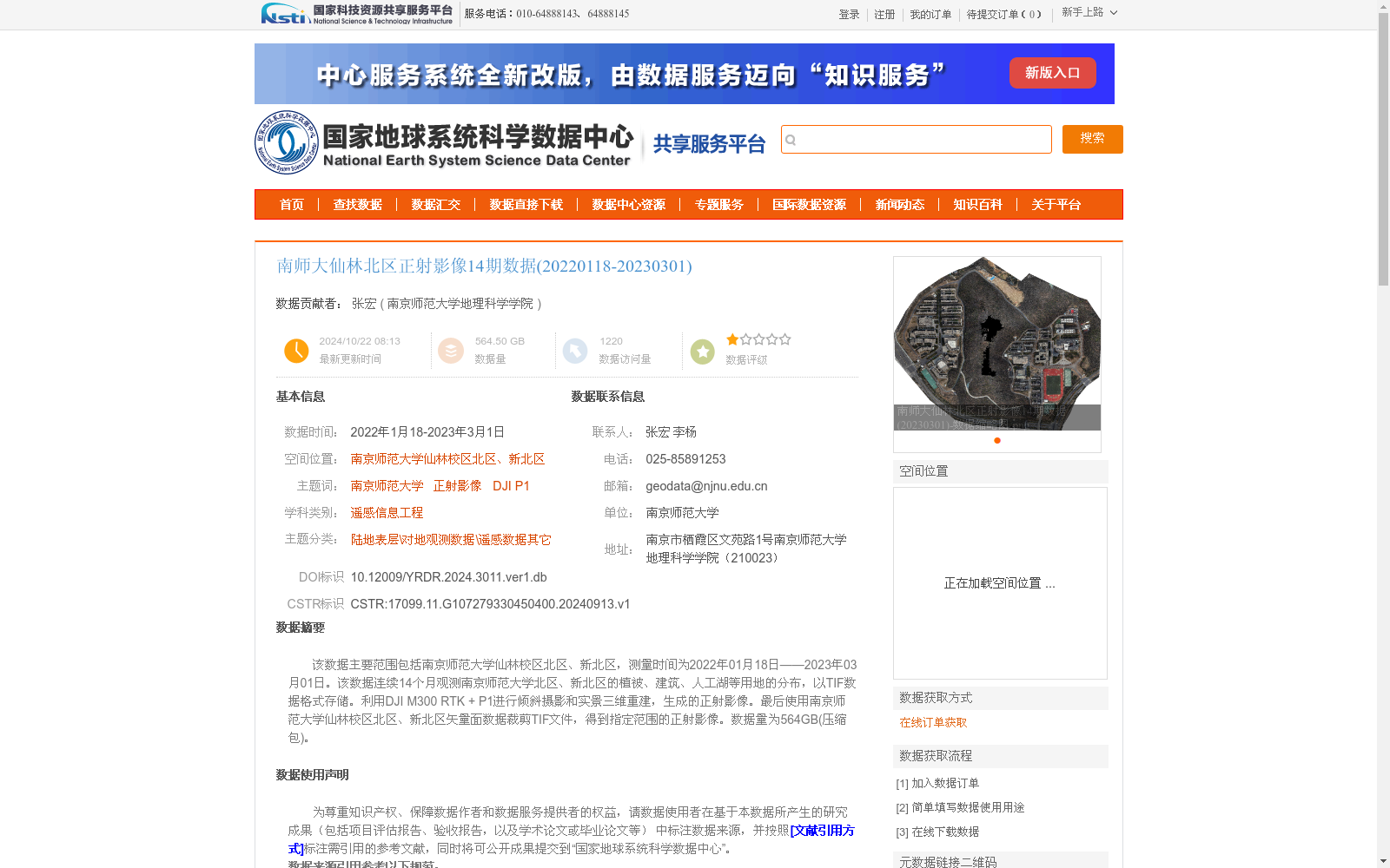
该数据主要范围包括南京师范大学仙林校区北区、新北区,测量时间为2022年01月18日——2023年03月01日。该数据连续14个月观测南京师范大学北区、新北区的植被、建筑、人工湖等用地的分布,以TIF数据格式存储。利用DJI M300 RTK + P1进行倾斜摄影和实景三维重建,生成的正射影像。最后使用南京师范大学仙林校区北区、新北区矢量面数据裁剪TIF文件,得到指定范围的正射影像。数据量为564GB(压缩包)。
This dataset primarily covers the North Campus and New North Campus of Xianlin Campus, Nanjing Normal University, with an observation period spanning from January 18, 2022 to March 01, 2023. It includes 14 consecutive months of observations on the distribution of land use types such as vegetation, buildings, artificial lakes, etc. within these two campuses, and all data are stored in TIF format. The orthophotos were generated through oblique photography and real-scene 3D reconstruction using a DJI M300 RTK unmanned aerial system paired with a P1 camera payload. Finally, the TIF files were clipped using the vector polygon datasets of the North and New North Campuses of Xianlin Campus, Nanjing Normal University, to obtain orthophotos within the specified spatial scope. The total size of the compressed archive is 564 GB.
提供机构:
南京师范大学地理科学学院
创建时间:
2024-09-13
搜集汇总
数据集介绍
背景与挑战
背景概述
该数据集是南京师范大学仙林校区北区和新北区的正射影像数据,覆盖2022年1月18日至2023年3月1日,共14期观测,数据量达564.50 GB,以TIF格式存储。数据通过DJI M300 RTK + P1设备进行倾斜摄影和三维重建生成,具有高精度特点(平面精度3厘米、高程精度5厘米),航向和旁向重叠率分别为75%和55%,适用于遥感信息工程和土地利用变化分析。
以上内容由遇见数据集搜集并总结生成


