CommunityOne/one-jurisdictions-school-districts
收藏资源简介:
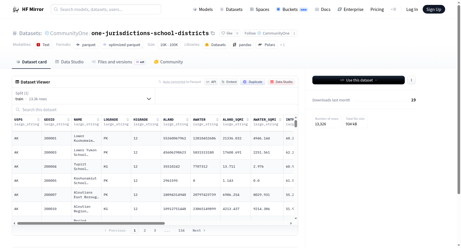
该数据集包含美国地理行政区域的相关信息,特征包括美国邮政编码服务(USPS)、地理标识符(GEOID)、区域名称(NAME)、最低和最高等级(LOGRADE、HIGRADE)、土地面积(ALAND)和水域面积(AWATER,单位为平方米和平方英里)、中心点经纬度(INTPTLAT、INTPTLONG)、区域类型(district_type)、数据来源(data_source)、下载日期(download_date)、管辖类型(jurisdiction_type)以及所属州(state)。数据集共有13326个样本,适用于地理信息分析或区域划分研究。
This dataset contains information about U.S. geographic administrative areas, including features such as USPS (United States Postal Service), GEOID (geographic identifier), NAME (area name), LOGRADE and HIGRADE (lowest and highest grade levels), ALAND and AWATER (land and water area in square meters and square miles), INTPTLAT and INTPTLONG (latitude and longitude of internal point), district_type, data_source, download_date, jurisdiction_type, and state. The dataset has 13,326 samples, suitable for geographic information analysis or regional division research.