黄土高原地区1:50万土地资源遥感图矢量数据集(1980s)
收藏国家地球系统科学数据中心2016-06-27 更新2024-03-04 收录
下载链接:
https://www.geodata.cn/data/datadetails.html?dataguid=113598147046219&docId=33799
下载链接
链接失效反馈官方服务:
资源简介:
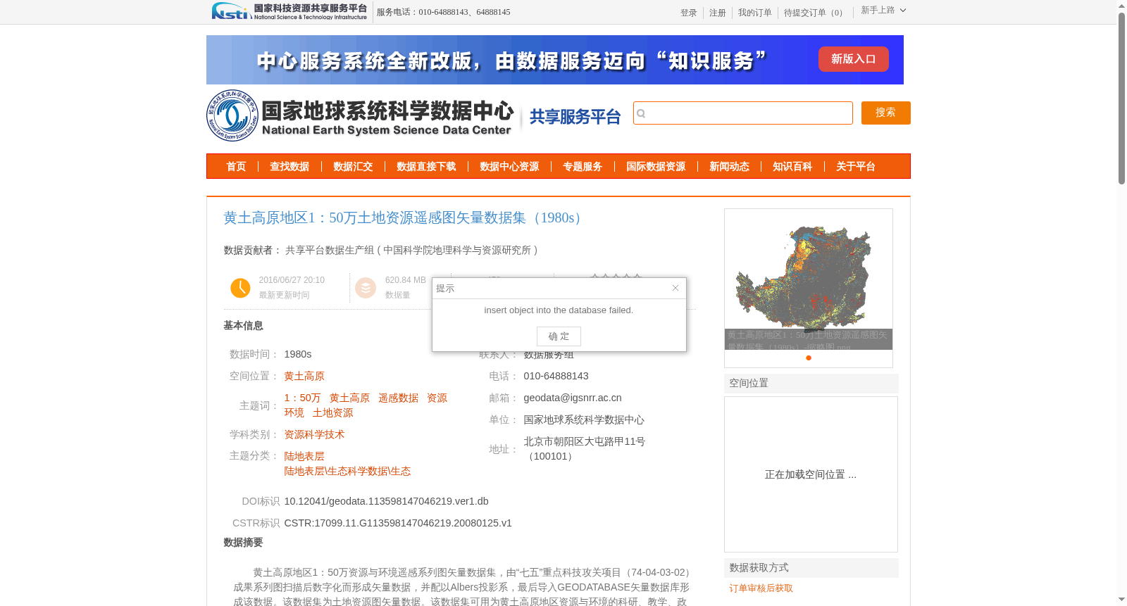
黄土高原地区1:50万资源与环境遥感系列图矢量数据集,由“七五”重点科技攻关项目(74-04-03-02)成果系列图扫描后数字化而形成矢量数据,并配以Albers投影系,最后导入GEODATABASE矢量数据库形成该数据。该数据集为土地资源图矢量数据。该数据集可用为黄土高原地区资源与环境的科研、教学、政府决策等提供数据支撑和决策支持。
Vector Dataset of 1:500,000 Resource and Environmental Remote Sensing Series Maps in the Loess Plateau Region. This dataset was generated by scanning and digitizing the series maps derived from the achievements of the Seventh Five-Year Plan Key Scientific and Technological Tackling Project (74-04-03-02). The vector data was projected using the Albers coordinate system, and finally imported into the GEODATABASE vector database to form this dataset. This dataset specifically contains vector data of land resource maps, and can provide data support and decision-making assistance for scientific research, teaching and government decision-making related to resources and environment in the Loess Plateau region.
提供机构:
中国科学院地理科学与资源研究所
创建时间:
2008-01-25
搜集汇总
数据集介绍
背景与挑战
背景概述
该数据集是黄土高原地区1980年代的土地资源遥感图矢量数据,比例尺为1:50万,经过数字化处理并采用Albers投影,适用于资源与环境研究及决策支持。
以上内容由遇见数据集搜集并总结生成


