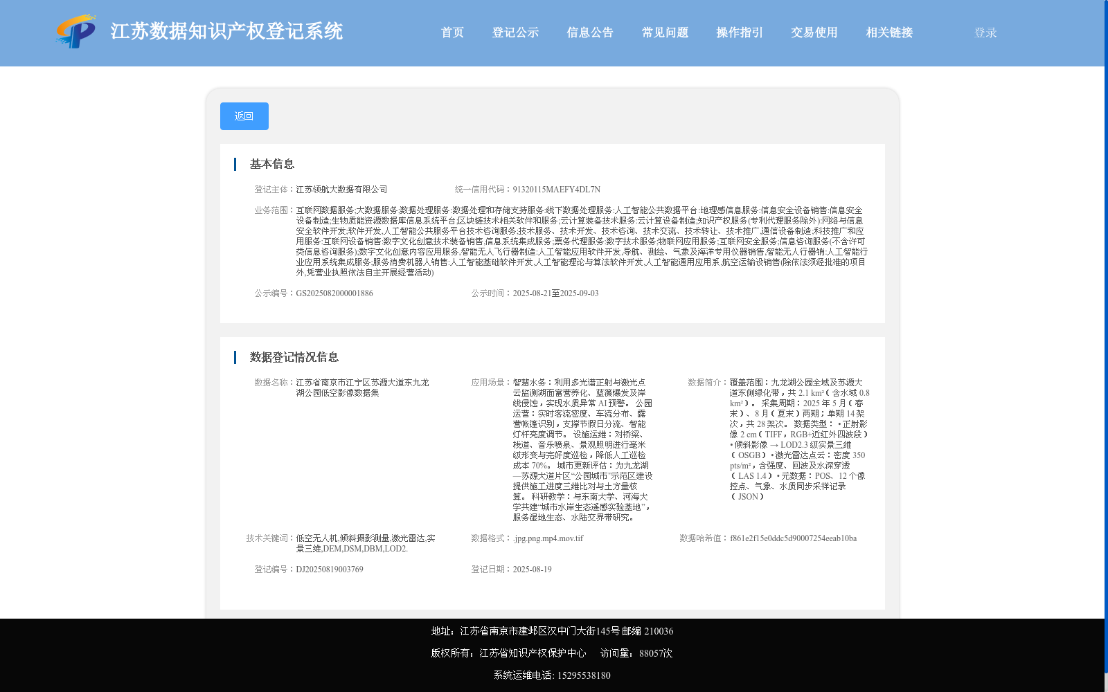
江苏省南京市江宁区苏源大道东九龙湖公园低空影像数据集
收藏资源简介:
覆盖范围:九龙湖公园全域及苏源大道东侧绿化带,共 2.1 km²(含水域 0.8 km²)。 采集周期:2025 年 5 月(春末)、8 月(夏末)两期;单期 14 架次,共 28 架次。 数据类型: • 正射影像 2 cm(TIFF,RGB+近红外四波段) • 倾斜影像 → LOD2.3 级实景三维(OSGB) • 激光雷达点云:密度 350 pts/m²,含强度、回波及水深穿透(LAS 1.4) • 元数据:POS、12 个像控点、气象、水质同步采样记录(JSON)
Coverage: The entire area of Jiulonghu Park and the green belt east of Suyuan Avenue, totaling 2.1 km² (including 0.8 km² of water area). Collection Period: Two phases in May (late spring) and August (late summer) 2025; 14 sorties per phase, totaling 28 sorties. Data Types: • Orthophotos: 2 cm resolution, TIFF format, RGB + near-infrared four-band • Oblique images → LOD2.3 level real-scene 3D models (OSGB) • LiDAR point clouds: 350 pts/m² density, with intensity, echo and water penetration capabilities (LAS 1.4) • Metadata: POS data, 12 ground control points, synchronous meteorological and water quality sampling records (JSON)