
MineInsight
收藏资源简介:
MineInsight是一个多传感器、多光谱的数据集,专为越野环境下的地雷探测而设计。该数据集包含35个不同的目标(15个地雷和20个常见物品),分布在三个不同的赛道上,提供了一个多样化和现实化的测试环境。MineInsight是首个整合无人地面车辆及其机械臂的双视图传感器扫描数据的数据集,提供多个视角以减轻遮挡并提高空间感知能力。它具有两个LiDAR,以及在不同光谱范围内捕获的图像,包括可见光(RGB、单色)、可见光短波红外(VIS-SWIR)和长波红外(LWIR)。此外,该数据集还附带目标的定位估计,为评估检测算法提供了一个基准。我们在白天和夜间条件下记录了大约一个小时的约38,000个RGB帧,53,000个VIS-SWIR帧和108,000个LWIR帧。MineInsight作为开发和应用地雷探测算法的基准。我们的数据集可以在https://github.com/mariomlz99/MineInsight获取。
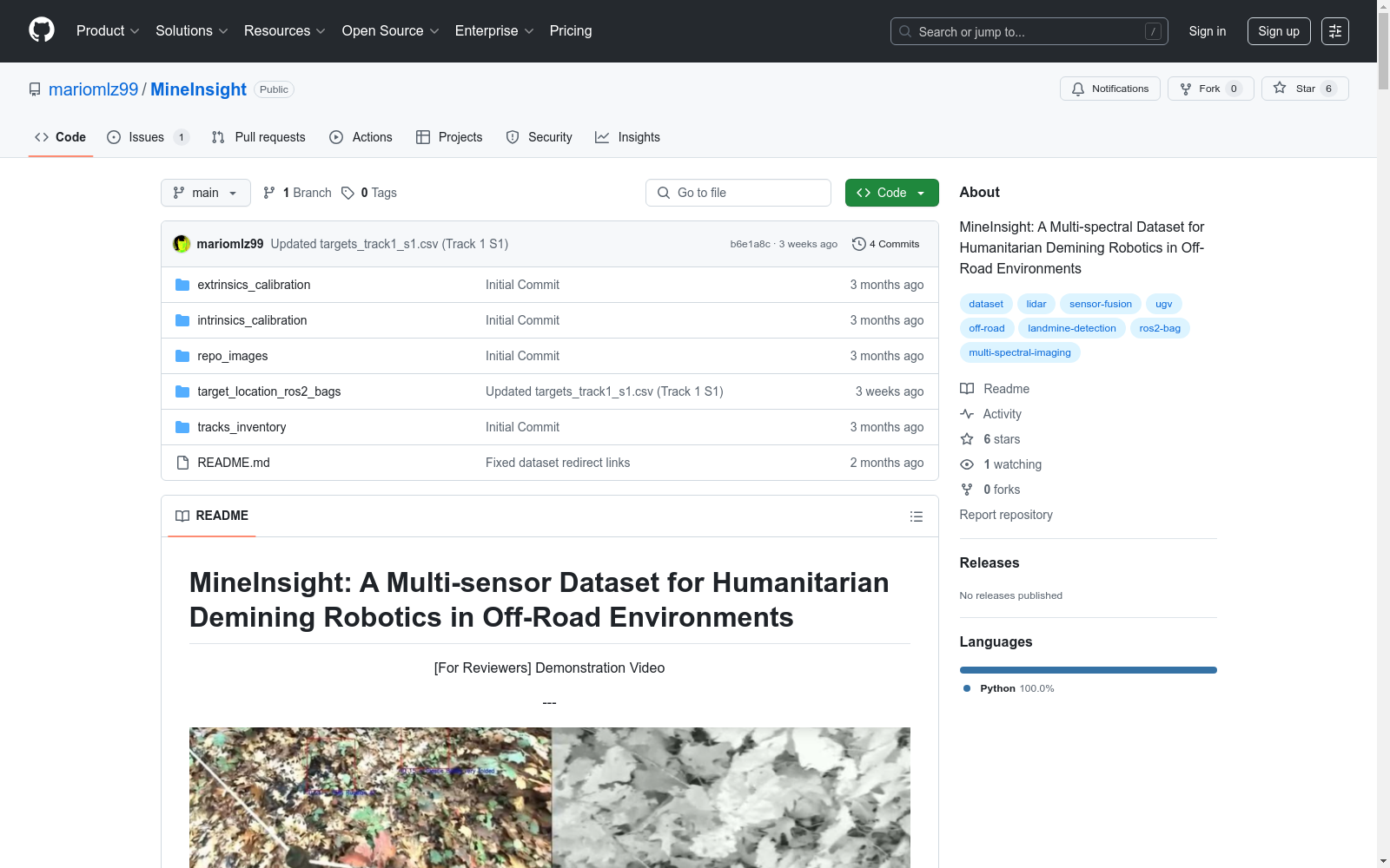
MineInsight is a multi-sensor, multi-spectral dataset specifically designed for mine detection in off-road environments. The dataset contains 35 distinct targets, including 15 mines and 20 common objects, distributed across three different tracks to provide a diverse and realistic testing environment. MineInsight is the first dataset integrating dual-view sensor scanning data from unmanned ground vehicles and their robotic arms, offering multiple perspectives to mitigate occlusion and enhance spatial awareness. It is equipped with two LiDARs, as well as images captured across different spectral ranges, including visible light (RGB, monochromatic), visible-shortwave infrared (VIS-SWIR), and long-wave infrared (LWIR). Additionally, the dataset includes target localization estimates, serving as a benchmark for evaluating detection algorithms. We recorded approximately 38,000 RGB frames, 53,000 VIS-SWIR frames, and 108,000 LWIR frames over roughly one hour of data collection under both daytime and nighttime conditions. MineInsight serves as a benchmark for the development and application of mine detection algorithms. Our dataset is available at https://github.com/mariomlz99/MineInsight.
- 1MineInsight: A Multi-sensor Dataset for Humanitarian Demining Robotics in Off-Road Environments比利时根特大学 · 2025年


