2015-2019高亚洲区域(尼泊尔)年度滑坡、泥石流
收藏地球大数据科学工程2024-04-26 收录
下载链接:
https://data.casearth.cn/sdo/detail/636e17ec819aec5df66b5224
下载链接
链接失效反馈官方服务:
资源简介:
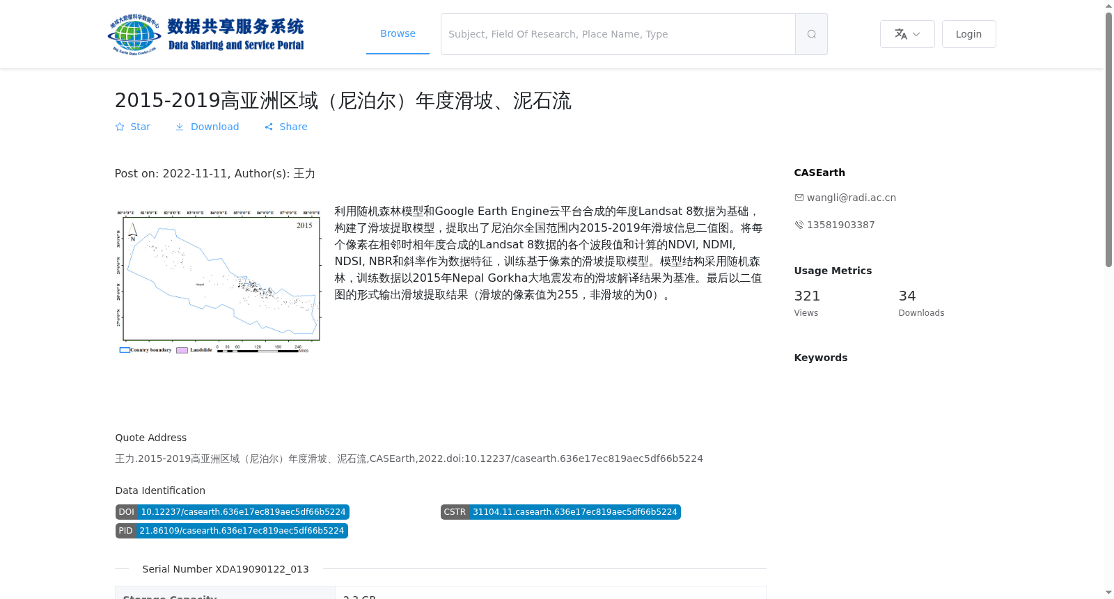
利用随机森林模型和Google Earth Engine云平台合成的年度Landsat 8数据为基础,构建了滑坡提取模型,提取出了尼泊尔全国范围内2015-2019年滑坡信息二值图。将每个像素在相邻时相年度合成的Landsat 8数据的各个波段值和计算的NDVI, NDMI, NDSI, NBR和斜率作为数据特征,训练基于像素的滑坡提取模型。模型结构采用随机森林,训练数据以2015年Nepal Gorkha大地震发布的滑坡解译结果为基准。最后以二值图的形式输出滑坡提取结果(滑坡的像素值为255,非滑坡的为0)。
Based on annual Landsat 8 composited data generated via the Google Earth Engine (GEE) cloud platform, a landslide extraction model was developed to produce binary maps of landslide distribution across Nepal for the years 2015 to 2019. Spectral band values of each pixel from the annual composited Landsat 8 datasets of adjacent temporal phases, along with the derived remote sensing indices including NDVI, NDMI, NDSI, NBR and terrain slope, were utilized as input features to train the pixel-wise landslide extraction model. The Random Forest algorithm was adopted as the model framework, and the training dataset was grounded on the official landslide interpretation results released after the 2015 Gorkha earthquake in Nepal. Ultimately, the landslide extraction results were exported as binary maps, where the pixel value assigned to landslide areas was 255 and 0 for non-landslide areas.
提供机构:
CASEarth
搜集汇总
数据集介绍
背景与挑战
背景概述
该数据集提供了2015-2019年尼泊尔全国范围内的年度滑坡和泥石流信息,采用随机森林模型和Landsat 8数据生成,以二值图形式展示滑坡分布。
以上内容由遇见数据集搜集并总结生成


