祁连山综合观测网:青海湖流域地表过程综合观测网(高寒草甸草原混合超级站气象要素梯度观测系统-2021)
收藏国家青藏高原科学数据中心2022-06-29 更新2024-03-01 收录
下载链接:
https://data.tpdc.ac.cn/zh-hans/data/5befbb46-378c-4a1d-b939-9e99beaf378c
下载链接
链接失效反馈官方服务:
资源简介:
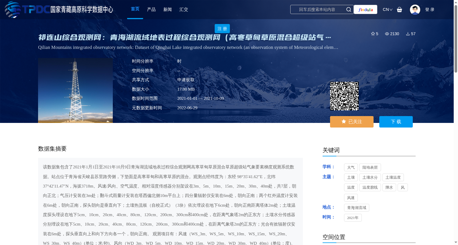
该数据集包含了2021年1月1日至2021年10月9日青海湖流域地表过程综合观测网高寒草甸草原混合草原超级站气象要素梯度观测系统数据。站点位于青海省天峻县苏里路旁侧,下垫面是高寒草甸和高寒草原的混合。观测点经纬度为:东经 98°35′41.62″E,北纬 37°42′11.47″N,海拔3718m。风速/风向、空气温度、相对湿度传感器分别架设在3m、5m、10m、15m、20m、30m、40m处,共7层,朝向正北;气压计安装在3m处;翻斗式雨量计安装在塔西偏北侧10m平台上;四分量辐射仪安装在6m处,朝向正南;两个红外温度计安装在6m处,朝向正南,探头朝向是垂直向下;土壤热流板(自校正式)(3块)依次埋设在地下6cm处,朝向正南距离塔体2m处;土壤温度探头埋设在地下5cm、10cm、20cm、40cm、80cm、120cm、200cm、300cm和400cm处,在距离气象塔2m的正东方;土壤水分传感器分别埋设在地下5cm、10cm、20cm、40cm、80cm、120cm、200cm、300cm和400cm处,在距离气象塔2m的正东方;光合有效辐射仪安装在6m处,探头垂直向上和向下方向各一个,朝向正南。
观测项目有:风速(WS_3m、WS_5m、WS_10m、WS_15m、WS_20m、WS_30m、WS_40m)(单位:米/秒)、风向(WD_3m、WD_5m、WD_10m、WD_15m、WD_20m、WD_30m、WD_40m)(单位:度)、空气温湿度(Ta_3m、Ta_5m、Ta_10m、Ta_15m、Ta_20m、Ta_30m、Ta_40m和RH_3m、RH_5m、RH_10m、RH_15m、RH_20m、RH_30m、RH_40m)(单位:摄氏度、百分比)、降水量(Rain)(单位:毫米)、气压(Press)(单位:百帕)、地表辐射温度(IRT_1、IRT_2)(单位:摄氏度)、向上与向下光合有效辐射(PAR_U_up、PAR_U_down)(单位:微摩尔/平方米秒) 、四分量辐射(DR、UR、DLR_Cor、ULR_Cor、Rn)(单位:瓦/平方米)、土壤热通量(Gs_1、Gs_2、Gs_3)(单位:瓦/平方米)、土壤水分(Ms_5cm、Ms_10cm、Ms_20cm、Ms_40cm、Ms_80cm、Ms_120cm、Ms_200cm、Ms_300cm、Ms_400cm)(单位:百分比)、土壤温度(Ts_5cm、Ts_10cm、Ts_20cm、Ts_40cm、Ts_80cm、Ts_120cm、Ts_200cm、Ts_300cm、Ts_400cm)(单位:摄氏度)。
观测数据的处理与质量控制:(1)确保每天144个数据(每10min),若出现数据的缺失,则由-6999标示;(2)剔除有重复记录的时刻;(3)删除了明显超出物理意义或超出仪器量程的数据;(4)数据中以红字标示的部分为有疑问的数据;(5)日期和时间的格式统一,并且日期、时间在同一列。如,时间为:2018/8/31 10:30。
This dataset contains data collected by the meteorological element gradient observation system at the alpine meadow-steppe mixed grassland super station of the Comprehensive Observation Network for Surface Processes in the Qinghai Lake Basin, spanning from January 1, 2021 to October 9, 2021. The station is located beside Suli Road in Tianjun County, Qinghai Province, with an underlying surface being a mixture of alpine meadow and alpine steppe. The coordinates of the observation site are 98°35′41.62″E longitude and 37°42′11.47″N latitude, with an altitude of 3718 m. Anemometers for wind speed and direction, as well as air temperature and relative humidity sensors, are installed at 7 heights (3 m, 5 m, 10 m, 15 m, 20 m, 30 m, 40 m) facing directly north. A barometer is installed at 3 m. A tipping-bucket rain gauge is installed on a platform 10 m to the northwest of the tower. A four-component radiometer is installed at 6 m facing south. Two infrared thermometers are installed at 6 m facing south, with their probes pointing vertically downward. Three self-calibrating soil heat flux plates are buried at 6 cm underground, facing south and 2 m away from the tower body. Soil temperature probes and soil moisture sensors are buried at depths of 5 cm, 10 cm, 20 cm, 40 cm, 80 cm, 120 cm, 200 cm, 300 cm and 400 cm underground, 2 m directly east of the meteorological tower. A photosynthetically active radiation (PAR) sensor is installed at 6 m, with one probe pointing vertically upward and another downward, facing south. Observation items include: wind speed (WS_3m, WS_5m, WS_10m, WS_15m, WS_20m, WS_30m, WS_40m) with unit of m/s; wind direction (WD_3m, WD_5m, WD_10m, WD_15m, WD_20m, WD_30m, WD_40m) with unit of degree; air temperature and relative humidity (Ta_3m, Ta_5m, Ta_10m, Ta_15m, Ta_20m, Ta_30m, Ta_40m and RH_3m, RH_5m, RH_10m, RH_15m, RH_20m, RH_30m, RH_40m) with units of ℃ and % respectively; precipitation (Rain) with unit of mm; atmospheric pressure (Press) with unit of hPa; surface radiation temperature (IRT_1, IRT_2) with unit of ℃; upward and downward photosynthetically active radiation (PAR_U_up, PAR_U_down) with unit of μmol·m⁻²·s⁻¹; four-component radiation (DR, UR, DLR_Cor, ULR_Cor, Rn) with unit of W·m⁻²; soil heat flux (Gs_1, Gs_2, Gs_3) with unit of W·m⁻²; soil moisture (Ms_5cm, Ms_10cm, Ms_20cm, Ms_40cm, Ms_80cm, Ms_120cm, Ms_200cm, Ms_300cm, Ms_400cm) with unit of %; soil temperature (Ts_5cm, Ts_10cm, Ts_20cm, Ts_40cm, Ts_80cm, Ts_120cm, Ts_200cm, Ts_300cm, Ts_400cm) with unit of ℃. Data processing and quality control specifications are as follows: (1) A total of 144 data records are guaranteed per day (collected every 10 minutes), with missing values marked as -6999; (2) Duplicate records at the same timestamp are removed; (3) Data that obviously exceeds physical limits or instrument measurement ranges are deleted; (4) Data marked in red are considered questionable; (5) Date and time formats are unified, and date and time are stored in the same column. An example timestamp is 2018/8/31 10:30.
提供机构:
李小雁
创建时间:
2022-06-29
搜集汇总
数据集介绍
背景与挑战
背景概述
该数据集是2021年青海湖流域高寒草甸草原混合超级站的气象要素梯度观测数据,覆盖1月1日至10月9日,站点海拔3718米,观测要素包括风速、温湿度、降水、土壤温湿度等多层梯度参数,时间分辨率为小时,数据经过质量控制,适用于高寒生态系统地表过程研究。
以上内容由遇见数据集搜集并总结生成


