祁连山北坡-河西走廊干旱荒漠区土壤剖面照片集(2019-2020)
收藏国家青藏高原科学数据中心2025-03-19 更新2024-03-01 收录
下载链接:
https://data.tpdc.ac.cn/zh-hans/data/ae5b7d1e-e2a1-4ba3-8b51-daf0b36ae06e
下载链接
链接失效反馈官方服务:
资源简介:
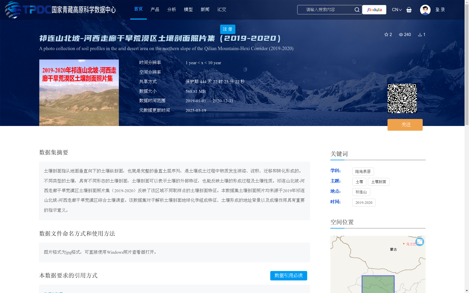
土壤剖面指从地面垂直向下的土壤纵剖面,也就是完整的垂直土层序列,是土壤成土过程中物质发生淋溶、淀积、迁移和转化形成的。不同类型的土壤,具有不同形态的土壤剖面,土壤剖面可以表示土壤的外部特征,也能反映土壤的形成过程及土壤性质。祁连山北坡-河西走廊干旱荒漠区土壤剖面照片集(2019-2020)反映了该区域不同取样点的土壤剖面特征。本数据集土壤剖面照片均来源于2019年祁连山北坡-河西走廊干旱荒漠区综合土壤调查。该数据集对于解析土壤剖面地球化学组成特征、土壤形成的地址背景以及成壤作用具有重要的指示意义。
Soil profile refers to the vertical soil section extending downward from the ground surface, i.e., a complete sequence of vertical soil layers, which is formed through the eluviation, illuviation, migration and transformation of substances during soil formation processes. Soils of different types exhibit distinct soil profile morphologies. A soil profile can not only demonstrate the external characteristics of soil, but also reflect its formation process and soil properties. The Soil Profile Photo Collection of the Arid Desert Area on the Northern Slope of the Qilian Mountains - Hexi Corridor (2019-2020) records the soil profile features of various sampling sites in this region. All soil profile photos in this dataset are derived from the comprehensive soil survey carried out in the arid desert area on the northern slope of the Qilian Mountains - Hexi Corridor in 2019. This dataset holds important indicative value for analyzing the geochemical composition characteristics of soil profiles, the geological background of soil formation, and soil genesis.
提供机构:
王旭洋
创建时间:
2021-04-26
搜集汇总
数据集介绍
背景与挑战
背景概述
该数据集是2019-2020年祁连山北坡至河西走廊干旱荒漠区的土壤剖面照片集合,来源于2019年综合土壤调查,包含约568.81 MB的JPG格式图片,可直接查看。数据集覆盖东经94.43-104.08度、北纬36.94-41.11度的区域,旨在反映土壤剖面特征,对研究土壤地球化学组成、地质背景和成壤作用具有重要指示意义。
以上内容由遇见数据集搜集并总结生成


