
未提及具体数据集名称
收藏资源简介:
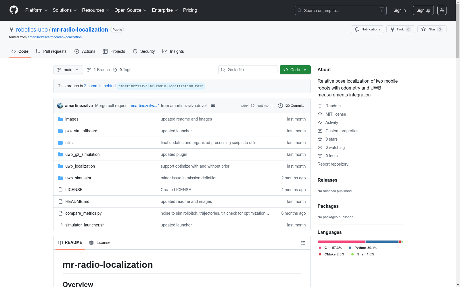
本文介绍了一个基于无线电的多机器人定位系统,该系统利用了超宽带(UWB)和雷达技术,并结合了低成本的传感器,如惯性测量单元(IMUs)和轮编码器,来估计空中机器人相对于地面机器人的相对位置。该系统在软件在环(SITL)仿真和真实世界数据集中进行了验证。系统采用了非线性最小二乘(NLS)优化框架来计算UAV和UGV的里程计框架之间的相对变换,并使用雷达预处理模块进行松耦合的自运动估计。然后,预处理后的雷达数据和相对变换被输入到姿态图优化框架中,以实时优化两个平台的位置。该系统已实现为机器人操作系统(ROS 2)的一部分,并使用Ceres优化器进行优化。所有的代码和实验数据都是公开可用的,以支持可重复性和作为一个通用的开放数据集。
This paper presents a radio-based multi-robot positioning system that leverages Ultra-Wideband (UWB) and radar technologies, paired with low-cost sensors including Inertial Measurement Units (IMUs) and wheel encoders, to estimate the relative position of an aerial robot with respect to a ground-based robot. The system is validated via software-in-the-loop (SITL) simulations and real-world datasets. It adopts a Non-Linear Least Squares (NLS) optimization framework to compute the relative transformation between the odometry frames of the Unmanned Aerial Vehicle (UAV) and Unmanned Ground Vehicle (UGV), and employs a radar preprocessing module to perform loosely-coupled ego-motion estimation. Subsequently, the preprocessed radar data and relative transformation are input into a pose graph optimization framework to optimize the positions of both platforms in real time. The system has been implemented as part of Robot Operating System 2 (ROS 2) and optimized using the Ceres Solver. All code and experimental datasets are publicly available to support reproducibility and serve as a general-purpose open dataset.
- 1Radio-based Multi-Robot Odometry and Relative Localization西班牙奥拉维德大学服务机器人实验室 · 2025年


