湖北省1:1400万土壤质地类型分区图(1980s)
收藏国家地球系统科学数据中心2017-06-26 更新2024-03-04 收录
下载链接:
https://www.geodata.cn/data/datadetails.html?dataguid=5596130&docId=27823
下载链接
链接失效反馈官方服务:
资源简介:
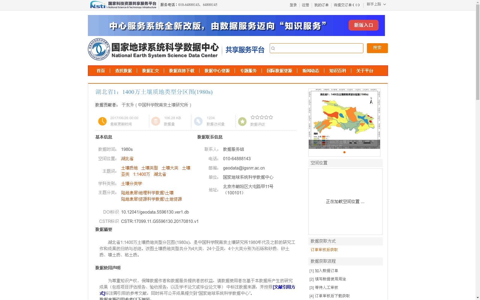
湖北省1:1400万土壤质地类型分区图(1980s),是中国科学院南京土壤研究所1980年代及之前的研究工作和成果的归纳与总结。该图土壤质地类型共分为4大类、24个亚类,4个大类分别为石砾和砂质、砂土质、壤土质、粘土质。
Soil Texture Type Zoning Map of Hubei Province (1:14,000,000, 1980s) is a compilation and summary of research work and achievements conducted by the Institute of Soil Science, Chinese Academy of Sciences during the 1980s and earlier periods. This map classifies soil texture types into 4 major categories and 24 subcategories in total, with the four major categories being gravel and sandy, sandy soil, loam, and clayey soil.
提供机构:
中国科学院南京土壤研究所
创建时间:
2017-08-10
搜集汇总
数据集介绍
以上内容由遇见数据集搜集并总结生成


