
DReSS-D
收藏资源简介:
DReSS-D是一个细粒度的地理标记CVL数据集,提供了像素级地面真实标签,用于训练模型。每个地面全景图像都与一个深度图配对,使得查询图像中的每个像素都可以投影到参考图像空间。DReSS-D是第一个提供像素级对应关系的学术交叉视图数据集,可以实现比传统相机姿态数据集更密集的监督。该数据集旨在解决交叉视图定位中的高精度和高可靠性问题,特别是在复杂场景中。数据集的具体大小和Tokens数未在论文中明确提及。
DReSS-D is a fine-grained geotagged CVL dataset that provides pixel-level ground truth labels for model training. Each ground panoramic image is paired with a depth map, enabling every pixel in the query image to be projected into the reference image space. As the first academic cross-view dataset offering pixel-level correspondences, DReSS-D enables denser supervision than traditional camera pose datasets. This dataset aims to address the challenges of high accuracy and reliability in cross-view localization, especially in complex scenarios. The specific size and token count of the dataset are not explicitly mentioned in the paper.
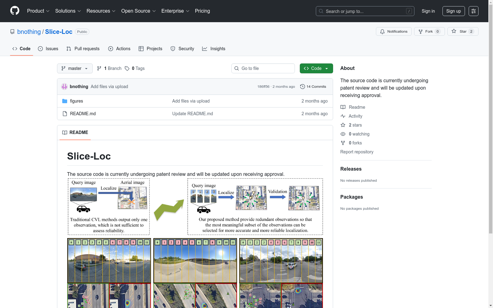
- 1Cross-View Localization via Redundant Sliced Observations and A-Contrario Validation武汉大学遥感信息工程学院 · 2025年




