时空无缝的AMSR-E/AMSR2植被光学厚度逐日产品(2002-2022)
收藏国家青藏高原科学数据中心2025-06-03 更新2025-06-07 收录
下载链接:
https://data.tpdc.ac.cn/zh-hans/data/3f84e534-f8f5-4d31-a55d-4f22644cd61e
下载链接
链接失效反馈官方服务:
资源简介:
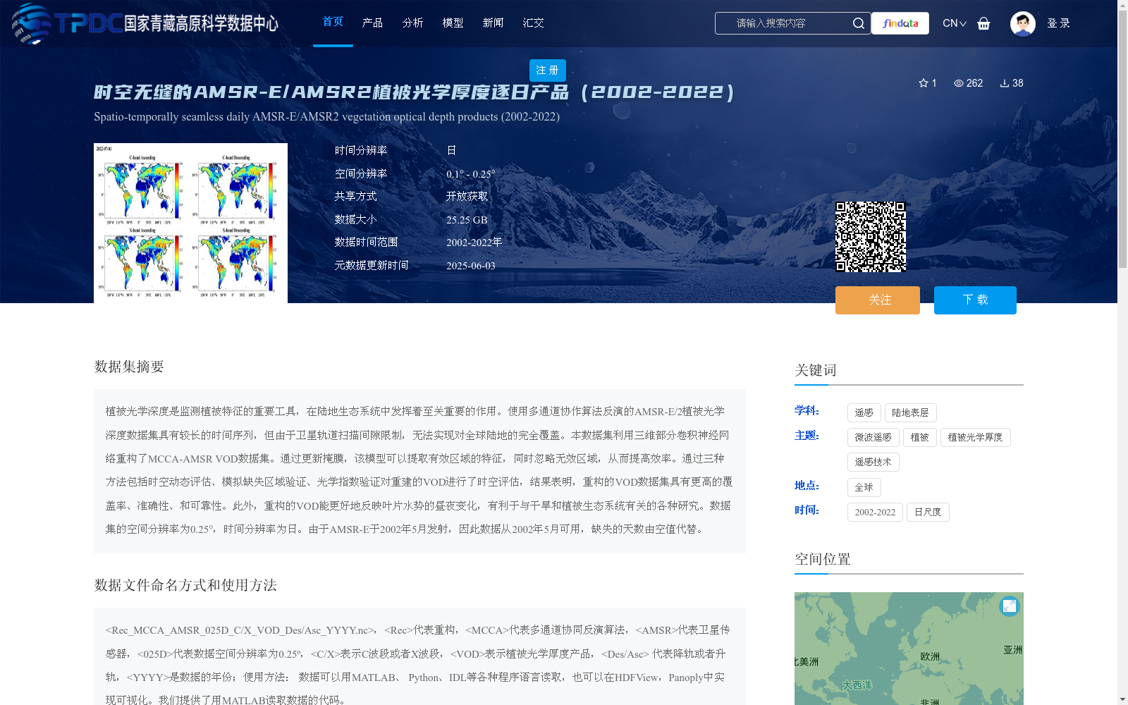
植被光学深度是监测植被特征的重要工具,在陆地生态系统中发挥着至关重要的作用。使用多通道协作算法反演的AMSR-E/2植被光学深度数据集具有较长的时间序列,但由于卫星轨道扫描间隙限制,无法实现对全球陆地的完全覆盖。本数据集利用三维部分卷积神经网络重构了MCCA-AMSR VOD数据集。通过更新掩膜,该模型可以提取有效区域的特征,同时忽略无效区域,从而提高效率。通过三种方法包括时空动态评估、模拟缺失区域验证、光学指数验证对重建的VOD进行了时空评估,结果表明,重构的VOD数据集具有更高的覆盖率、准确性、和可靠性。此外,重构的VOD能更好地反映叶片水势的昼夜变化,有利于与干旱和植被生态系统有关的各种研究。数据集的空间分辨率为0.25°,时间分辨率为日。由于AMSR-E于2002年5月发射,因此数据从2002年5月可用,缺失的天数由空值代替。
Vegetation Optical Depth (VOD) is an important tool for monitoring vegetation characteristics and plays a crucial role in terrestrial ecosystems. The AMSR-E/2 Vegetation Optical Depth dataset retrieved using the Multi-channel Collaborative Algorithm (MCCA) has a long time series, but cannot achieve complete global land coverage due to limitations of satellite orbital scan gaps. This dataset reconstructs the MCCA-AMSR VOD dataset using a 3D partial convolutional neural network. By updating the mask, the model can extract features of valid regions while ignoring invalid regions, thereby improving efficiency. The reconstructed VOD was evaluated spatiotemporally using three methods: spatiotemporal dynamic evaluation, simulated missing region validation, and optical index validation. The results show that the reconstructed VOD dataset has higher coverage, accuracy, and reliability. In addition, the reconstructed VOD can better reflect the diurnal variation of leaf water potential, which is beneficial to various studies related to drought and vegetation ecosystems. The spatial resolution of the dataset is 0.25°, and the temporal resolution is daily. Since AMSR-E was launched in May 2002, the data is available from May 2002 onwards, and missing days are replaced by null values.
提供机构:
王慧,魏祖帅,苗林光,田丰,赵天杰,胡路,孟令奎
创建时间:
2025-05-19
搜集汇总
数据集介绍
背景与挑战
背景概述
该数据集是一个全球范围的植被光学厚度(VOD)逐日产品,覆盖2002年至2022年,通过三维部分卷积神经网络重构了AMSR-E/AMSR2原始数据,解决了空间覆盖不全的问题,提高了数据的时空无缝性、准确性和可靠性。数据集空间分辨率为0.25°,时间分辨率为日,适用于植被监测、干旱研究等陆地生态系统分析,并以开放获取方式共享。
以上内容由遇见数据集搜集并总结生成


