黑河流域地表过程综合观测网(混合林站自动气象站-2023)
收藏国家青藏高原科学数据中心2024-07-19 更新2024-08-03 收录
下载链接:
https://data.tpdc.ac.cn/zh-hans/data/a99cfbdf-518a-47cb-9b5e-f8d742ca096c
下载链接
链接失效反馈官方服务:
资源简介:
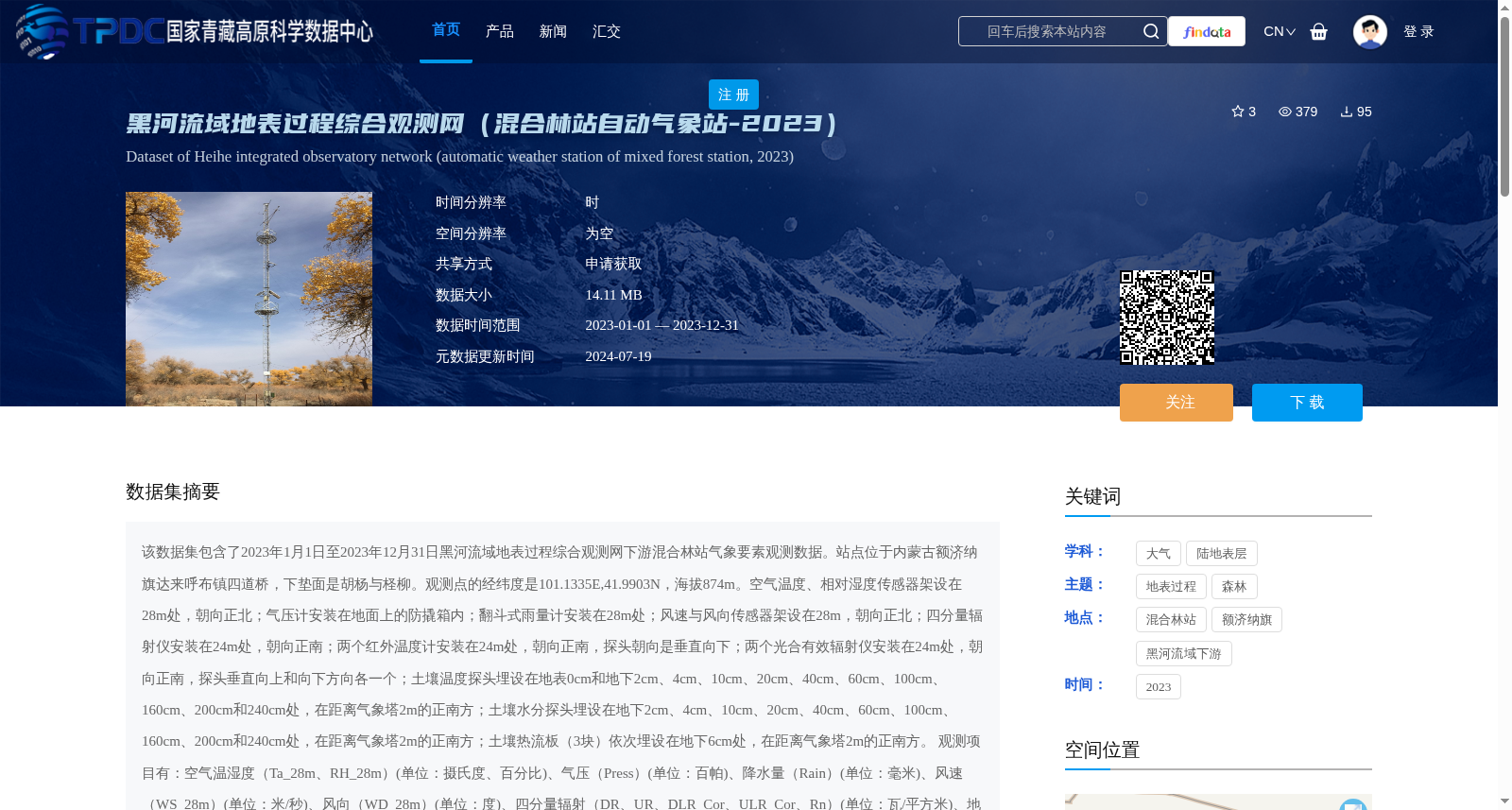
该数据集包含了2023年1月1日至2023年12月31日黑河流域地表过程综合观测网下游混合林站气象要素观测数据。站点位于内蒙古额济纳旗达来呼布镇四道桥,下垫面是胡杨与柽柳。观测点的经纬度是101.1335E,41.9903N,海拔874m。空气温度、相对湿度传感器架设在28m处,朝向正北;气压计安装在地面上的防撬箱内;翻斗式雨量计安装在28m处;风速与风向传感器架设在28m,朝向正北;四分量辐射仪安装在24m处,朝向正南;两个红外温度计安装在24m处,朝向正南,探头朝向是垂直向下;两个光合有效辐射仪安装在24m处,朝向正南,探头垂直向上和向下方向各一个;土壤温度探头埋设在地表0cm和地下2cm、4cm、10cm、20cm、40cm、60cm、100cm、160cm、200cm和240cm处,在距离气象塔2m的正南方;土壤水分探头埋设在地下2cm、4cm、10cm、20cm、40cm、60cm、100cm、160cm、200cm和240cm处,在距离气象塔2m的正南方;土壤热流板(3块)依次埋设在地下6cm处,在距离气象塔2m的正南方。
观测项目有:空气温湿度(Ta_28m、RH_28m)(单位:摄氏度、百分比)、气压(Press)(单位:百帕)、降水量(Rain)(单位:毫米)、风速(WS_28m)(单位:米/秒)、风向(WD_28m)(单位:度)、四分量辐射(DR、UR、DLR_Cor、ULR_Cor、Rn)(单位:瓦/平方米)、地表辐射温度(IRT_1、IRT_2)(单位:摄氏度)、土壤热通量(Gs_1、Gs_2、Gs_3)(单位:瓦/平方米)、土壤温度(Ts_0cm、Ts_2cm、Ts_4cm、Ts_10cm、Ts_20cm、Ts_40cm、Ts_60cm、Ts_100cm、Ts_160cm、Ts_200cm、Ts_240cm)(单位:摄氏度)、土壤水分(Ms_2cm、Ms_4cm、Ms_10cm、Ms_20cm、Ms_40cm、Ms_60cm、Ms_100cm、Ms_160cm、Ms_200cm、Ms_240cm)(单位:体积含水量,百分比)、向上与向下光合有效辐射(PAR_up、PAR_down)(单位:微摩尔/平方米秒)。
观测数据的处理与质量控制:(1)确保每天144个数据(每10min),若出现数据的缺失,则由-6999标示;(2)剔除有重复记录的时刻;(3)删除了明显超出物理意义或超出仪器量程的数据;(4)数据中以红字标示的部分为有疑问的数据;(5)日期和时间的格式统一,并且日期、时间在同一列。如,时间为:2023-6-10 10:30;(6)命名规则为:AWS+站点名称
黑河综合观测网或站点信息请参考Liu et al. (2018)和Liu et al. (2023)。
This dataset hosts meteorological element observation data collected at the Mixed Forest Station of the lower-reach Heihe River Basin Surface Process Comprehensive Observation Network, spanning from January 1, 2023 to December 31, 2023.
The station is located in Sidaoqiao, Dalaihubu Town, Ejina Banner, Inner Mongolia, with the underlying surface being Populus euphratica and Tamarix ramosissima. The coordinates of the observation site are 101.1335°E, 41.9903°N, and the elevation is 874 m.
Air temperature and relative humidity sensors were installed at 28 m above the ground, facing due north; a barometer was installed in a tamper-proof box on the ground; a tipping-bucket rain gauge was installed at 28 m; wind speed and direction sensors were installed at 28 m, facing due north; a four-component radiometer was installed at 24 m, facing due south; two infrared thermometers were installed at 24 m, facing due south, with their probes pointing vertically downward; two photosynthetically active radiation (PAR) sensors were installed at 24 m, facing due south, with one probe pointing vertically upward and the other vertically downward. Soil temperature probes were buried at 0 cm (surface) and 2 cm, 4 cm, 10 cm, 20 cm, 40 cm, 60 cm, 100 cm, 160 cm, 200 cm, and 240 cm underground, 2 m directly south of the meteorological tower. Soil moisture probes were buried at 2 cm, 4 cm, 10 cm, 20 cm, 40 cm, 60 cm, 100 cm, 160 cm, 200 cm, and 240 cm underground, 2 m directly south of the meteorological tower. Three soil heat flux plates were sequentially buried at 6 cm underground, 2 m directly south of the meteorological tower.
The observation items include: Air temperature and relative humidity (Ta_28m, RH_28m) (units: degrees Celsius, percentage); Atmospheric pressure (Press) (unit: hectopascal); Precipitation (Rain) (unit: millimeter); Wind speed (WS_28m) (unit: meters per second); Wind direction (WD_28m) (unit: degree); Four-component radiation (DR, UR, DLR_Cor, ULR_Cor, Rn) (unit: watts per square meter); Surface radiation temperature (IRT_1, IRT_2) (unit: degrees Celsius); Soil heat flux (Gs_1, Gs_2, Gs_3) (unit: watts per square meter); Soil temperature (Ts_0cm, Ts_2cm, Ts_4cm, Ts_10cm, Ts_20cm, Ts_40cm, Ts_60cm, Ts_100cm, Ts_160cm, Ts_200cm, Ts_240cm) (unit: degrees Celsius); Soil moisture (Ms_2cm, Ms_4cm, Ms_10cm, Ms_20cm, Ms_40cm, Ms_60cm, Ms_100cm, Ms_160cm, Ms_200cm, Ms_240cm) (unit: volumetric water content, percentage); Upward and downward photosynthetically active radiation (PAR_up, PAR_down) (unit: micromoles per square meter per second).
Data processing and quality control: (1) Ensure 144 data records per day (sampled every 10 minutes). Missing data are marked with -6999; (2) Remove duplicate records with the same timestamp; (3) Delete data that obviously violate physical constraints or exceed instrument measurement ranges; (4) Data marked in red are considered questionable; (5) Unify the date and time format, with date and time stored in the same column. An example time format is: 2023-6-10 10:30; (6) The naming convention is: AWS + station name.
For information on the Heihe Comprehensive Observation Network or the station, please refer to Liu et al. (2018) and Liu et al. (2023).
提供机构:
刘绍民,车涛,徐自为,任志国,谭俊磊,张阳
创建时间:
2024-07-08
搜集汇总
数据集介绍
背景与挑战
背景概述
该数据集是2023年黑河流域地表过程综合观测网下游混合林站的气象观测数据,覆盖空气、降水、辐射、土壤等多要素,时间分辨率为小时,站点位于内蒙古额济纳旗胡杨与柽柳混合林区。数据经过严格质量控制,适用于地表过程研究和环境监测。
以上内容由遇见数据集搜集并总结生成


