2000-2010年中国县域防风固沙数据库
收藏地球大数据科学工程2024-03-04 收录
下载链接:
https://data.casearth.cn/sdo/detail/5da578a9329b5613607cc964
下载链接
链接失效反馈官方服务:
资源简介:
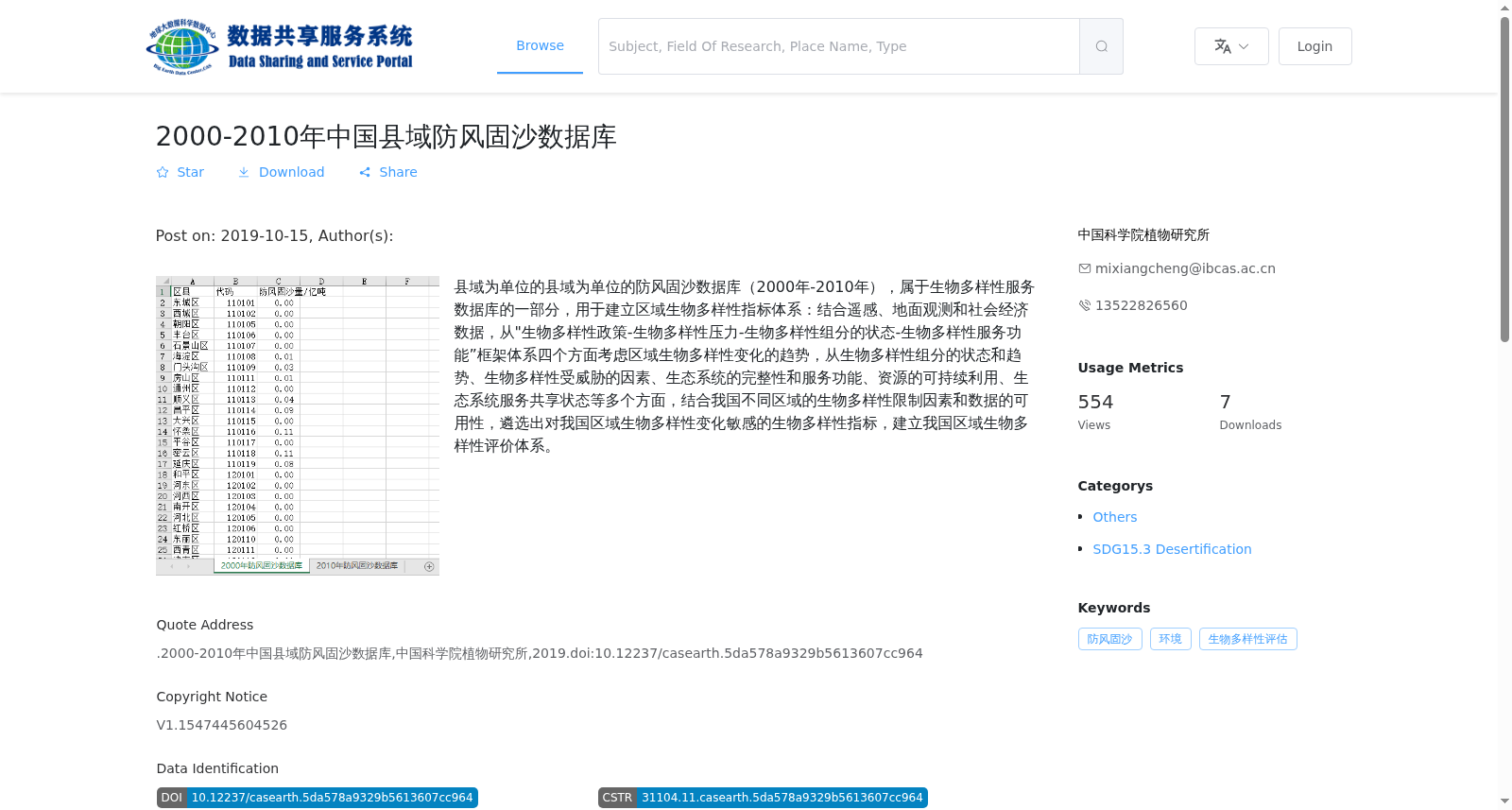
县域为单位的县域为单位的防风固沙数据库(2000年-2010年),属于生物多样性服务数据库的一部分,用于建立区域生物多样性指标体系:结合遥感、地面观测和社会经济数据,从"生物多样性政策-生物多样性压力-生物多样性组分的状态-生物多样性服务功能”框架体系四个方面考虑区域生物多样性变化的趋势,从生物多样性组分的状态和趋势、生物多样性受威胁的因素、生态系统的完整性和服务功能、资源的可持续利用、生态系统服务共享状态等多个方面,结合我国不同区域的生物多样性限制因素和数据的可用性,遴选出对我国区域生物多样性变化敏感的生物多样性指标,建立我国区域生物多样性评价体系。
County-level windbreak and sand fixation database (2000–2010), a component of the Biodiversity Service Database, is developed to establish a regional biodiversity indicator system. By integrating remote sensing, ground observation and socio-economic data, it evaluates the trends of regional biodiversity changes based on the four-part framework of "biodiversity policy - biodiversity pressure - status of biodiversity components - biodiversity service functions". From multiple dimensions including the status and trends of biodiversity components, threat factors to biodiversity, ecosystem integrity and service functions, sustainable utilization of resources, and sharing status of ecosystem services, and combined with regional biodiversity limiting factors and data availability across China, this database selects biodiversity indicators that are sensitive to regional biodiversity changes in China, and constructs a regional biodiversity assessment system for China.
提供机构:
中国科学院植物研究所
搜集汇总
数据集介绍
背景与挑战
背景概述
该数据集是2000-2010年中国县域防风固沙数据库,属于生物多样性服务数据库的一部分,以县域为单位提供防风固沙相关数据。它包含2000年和2010年两期数据,格式为XLSX,用于结合遥感、地面观测和社会经济数据,评估区域生物多样性变化趋势,特别是防风固沙功能,以支持生物多样性指标体系的建立。
以上内容由遇见数据集搜集并总结生成


