中国海(南海)4km遥感NPP产品数据库(1997-2020)
收藏国家地球系统科学数据中心2022-06-10 更新2024-03-04 收录
下载链接:
https://www.geodata.cn/data/datadetails.html?dataguid=28086399819269&docId=8781
下载链接
链接失效反馈官方服务:
资源简介:
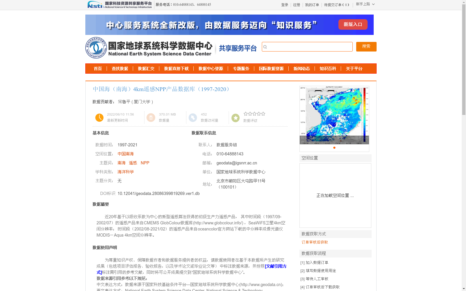
近20年基于以吸收系数为中心的新型遥感算法获得的初级生产力遥感产品,
其中时间段(1997/09-2002/07)的遥感产品来自CMEMS GlobColour数据库(http://www.globcolour.info/) ,SeaWiFS卫星4km空间分辨率;
时间段(2002/08-2021/02)的遥感产品来自oceancolor官方网站下载的中分辨率成像光谱仪MODIS-Aqua 4km空间分辨率。
Remote sensing products of primary productivity derived from a novel absorption coefficient-centered remote sensing algorithm over the past two decades.
The products for the period from September 1997 to July 2002 were sourced from the CMEMS GlobColour database (http://www.globcolour.info/), and were generated using the SeaWiFS satellite with a 4 km spatial resolution.
The products for the period from August 2002 to February 2021 were downloaded from the official oceancolor website, using the Moderate Resolution Imaging Spectroradiometer (MODIS)-Aqua with a 4 km spatial resolution.
提供机构:
厦门大学
创建时间:
2022-06-10
搜集汇总
数据集介绍
以上内容由遇见数据集搜集并总结生成


