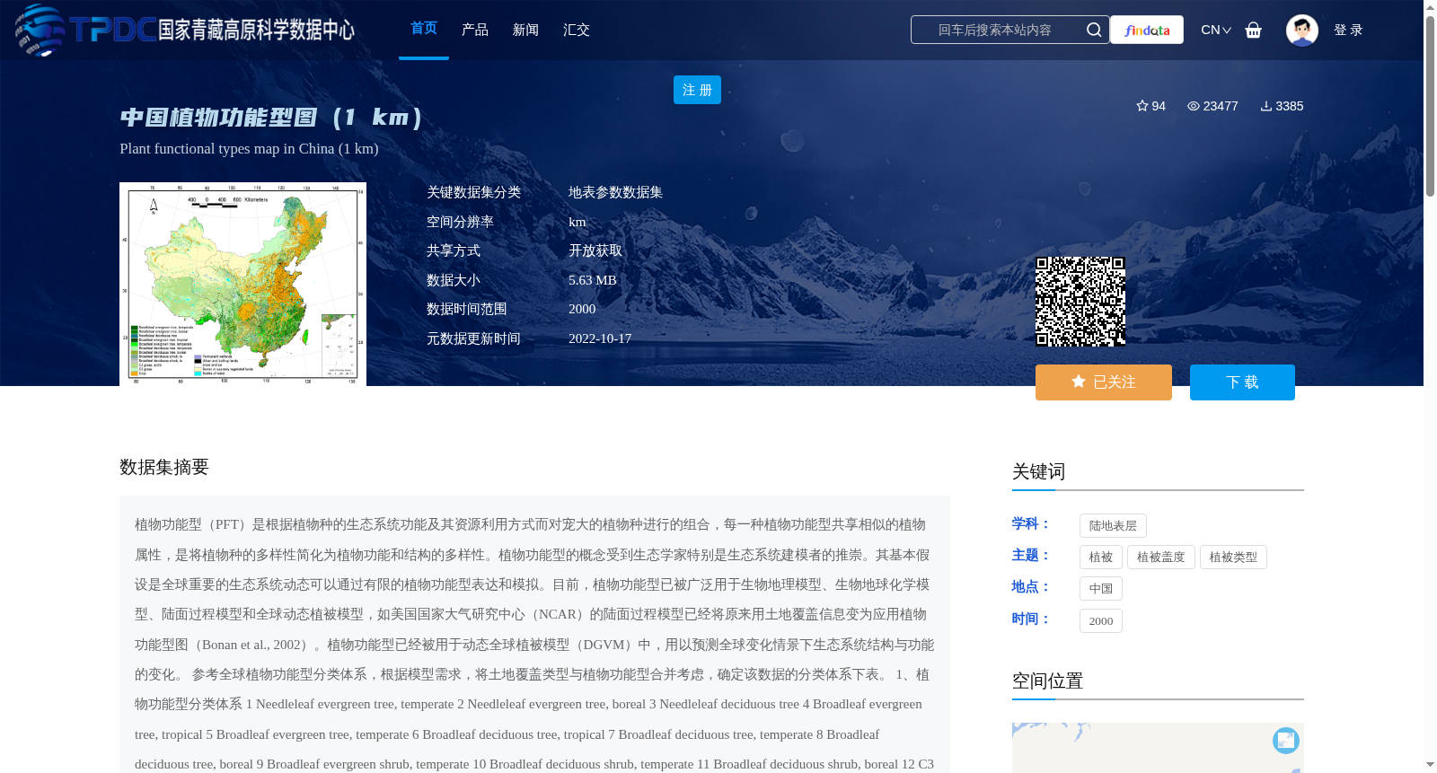
中国植物功能型图(1 km)
收藏资源简介:
植物功能型(PFT)是根据植物种的生态系统功能及其资源利用方式而对宠大的植物种进行的组合,每一种植物功能型共享相似的植物属性,是将植物种的多样性简化为植物功能和结构的多样性。植物功能型的概念受到生态学家特别是生态系统建模者的推崇。其基本假设是全球重要的生态系统动态可以通过有限的植物功能型表达和模拟。目前,植物功能型已被广泛用于生物地理模型、生物地球化学模型、陆面过程模型和全球动态植被模型,如美国国家大气研究中心(NCAR)的陆面过程模型已经将原来用土地覆盖信息变为应用植物功能型图(Bonan et al., 2002)。植物功能型已经被用于动态全球植被模型(DGVM)中,用以预测全球变化情景下生态系统结构与功能的变化。 参考全球植物功能型分类体系,根据模型需求,将土地覆盖类型与植物功能型合并考虑,确定该数据的分类体系下表。 1、植物功能型分类体系 1 Needleleaf evergreen tree, temperate 2 Needleleaf evergreen tree, boreal 3 Needleleaf deciduous tree 4 Broadleaf evergreen tree, tropical 5 Broadleaf evergreen tree, temperate 6 Broadleaf deciduous tree, tropical 7 Broadleaf deciduous tree, temperate 8 Broadleaf deciduous tree, boreal 9 Broadleaf evergreen shrub, temperate 10 Broadleaf deciduous shrub, temperate 11 Broadleaf deciduous shrub, boreal 12 C3 grass, arctic 13 C3 grass 14 C4 grass 15 Crop 16 Permanent wetlands 17 Urban and built-up lands 18 Snow and ice 19 Barren or sparsely vegetated lands 20 Bodies of water 2、制图方法 中国1公里植物功能型图是根据Bonan等(Bonan et al., 2002)提出的土地覆盖与植物功能型转换的气候规则,对MICLCover土地覆盖图(冉有华 等,2009;Ran et al., 2012)进行转换。MICLCover土地覆盖图是融合了2000年中国1:10万土地利用数据、中国植被图集(1:100万)的植物型、中国1:10万冰川分布图、中国1:100万沼泽湿地图和MODIS 2001年土地覆盖产品(MOD12Q1)的最新发布的土地覆盖数据,采用IGBP土地覆盖分类系统。评价显示,其可能是目前存在的全国1km尺度上精度最高的土地覆盖图。气候数据利用何杰等(2010)发展的1981-2008年的空间分辨率为0.1度、时间分辨率为3小时的中国大气驱动数据,是我国现存的在全国尺度上具有最高时空分辨率的气候数据,该数据融合了Princeton 陆面模式驱动数据(Sheffield et al., 2006)、GEWEX-SRB 辐射数据(Pinker et al., 2003)、TRMM 3B42 和APHRODITE 降水数据以及中国气象局740个气象台站的观测数据。根据RanYouhua等(2010)的评价结果,GLC2000在目前的全球土地覆盖数据集中,具有相对较高的精度,且其分类系统中没有混交林这一类,因此MICLCover土地覆盖图中的混交林利用GLC2000 (Bartholome and Belward, 2005; 徐文婷 等,2005)中的信息进行了替换。该数据可用于陆面过程模型等相关研究中。
Plant Functional Type (PFT) refers to a grouping of the vast array of plant species based on their ecosystem functions and resource utilization patterns. Each PFT shares similar plant traits, simplifying the diversity of plant species into the diversity of plant functions and structures. The concept of PFT has been highly regarded by ecologists, especially ecosystem modelers. Its core assumption is that globally important ecosystem dynamics can be expressed and simulated using a limited number of PFTs. Currently, PFTs have been widely applied in biogeographic models, biogeochemical models, land surface models, and global dynamic vegetation models. For example, the land surface model developed by the U.S. National Center for Atmospheric Research (NCAR) has replaced the original land cover information with PFT maps (Bonan et al., 2002). PFTs have also been incorporated into Dynamic Global Vegetation Models (DGVMs) to predict changes in ecosystem structure and function under global change scenarios. Referring to the global PFT classification system and considering the integration of land cover types and PFTs based on model requirements, the classification system for this dataset is determined as follows: 1. Temperate evergreen needleleaf tree 2. Boreal evergreen needleleaf tree 3. Deciduous needleleaf tree 4. Tropical evergreen broadleaf tree 5. Temperate evergreen broadleaf tree 6. Tropical deciduous broadleaf tree 7. Temperate deciduous broadleaf tree 8. Boreal deciduous broadleaf tree 9. Temperate evergreen broadleaf shrub 10. Temperate deciduous broadleaf shrub 11. Boreal deciduous broadleaf shrub 12. Arctic C3 grass 13. C3 grass 14. C4 grass 15. Cropland 16. Permanent wetlands 17. Urban and built-up areas 18. Snow and ice 19. Barren or sparsely vegetated lands 20. Inland waters 2. Mapping Method The 1-kilometer resolution PFT map of China was developed by converting the MICLCover land cover map (Ran et al., 2009; Ran et al., 2012) using the climate-based rules for land cover-to-PFT conversion proposed by Bonan et al. (2002). The MICLCover land cover map is a newly released land cover dataset that integrates multiple sources: the 2000 1:100,000-scale land use data of China, the plant functional types from the 1:1,000,000-scale Vegetation Atlas of China, the 1:100,000-scale glacier distribution map of China, the 1:1,000,000-scale marsh wetland map of China, and the MODIS 2001 land cover product (MOD12Q1). It adopts the IGBP land cover classification system. Evaluations have shown that it is likely the most accurate national-scale 1-kilometer resolution land cover dataset currently available. The climatic data used is the 1981–2008 Chinese atmospheric forcing dataset developed by He et al. (2010), which has a spatial resolution of 0.1° and a temporal resolution of 3 hours. It is the climate dataset with the highest spatiotemporal resolution at the national scale in China currently available, and integrates multiple sources: the Princeton land surface model forcing data (Sheffield et al., 2006), GEWEX-SRB radiation data (Pinker et al., 2003), TRMM 3B42 and APHRODITE precipitation data, as well as observational data from 740 meteorological stations of the China Meteorological Administration. According to the evaluation results of Ran et al. (2010), GLC2000 has relatively high accuracy among current global land cover datasets, and its classification system does not include the mixed forest category. Therefore, the mixed forest in the MICLCover land cover map was replaced using information from GLC2000 (Bartholome and Belward, 2005; Xu et al., 2005). This dataset can be used for relevant research such as land surface model studies.