青藏高原祁连山地区逐月地表平均温度数据集(1980-2013)
收藏国家青藏高原科学数据中心2023-01-11 更新2024-05-01 收录
下载链接:
https://data.tpdc.ac.cn/zh-hans/data/36fc073e-ec94-4f94-af78-8e6404229057
下载链接
链接失效反馈官方服务:
资源简介:
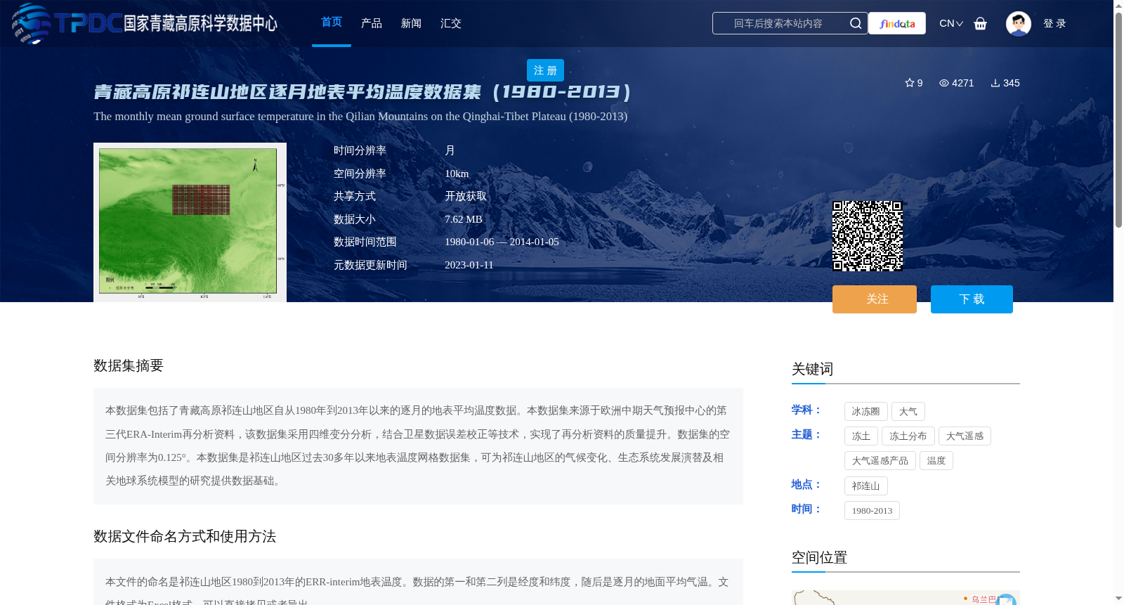
本数据集包括了青藏高原祁连山地区自从1980年到2013年以来的逐月的地表平均温度数据。本数据集来源于欧洲中期天气预报中心的第三代ERA-Interim再分析资料,该数据集采用四维变分分析,结合卫星数据误差校正等技术,实现了再分析资料的质量提升。数据集的空间分辨率为0.125°。本数据集是祁连山地区过去30多年以来地表温度网格数据集,可为祁连山地区的气候变化、生态系统发展演替及相关地球系统模型的研究提供数据基础。
This dataset contains monthly average surface temperature data for the Qilian Mountains region of the Tibetan Plateau from 1980 to 2013. It is derived from the third-generation ERA-Interim reanalysis dataset of the European Centre for Medium-Range Weather Forecasts (ECMWF), which adopts four-dimensional variational analysis (4D-Var) and combines technologies such as satellite data error correction to improve the quality of reanalysis data. The spatial resolution of this dataset is 0.125°. As a grid-based surface temperature dataset for the Qilian Mountains region covering over 30 years of data, it can provide a solid data foundation for research on climate change, ecosystem development and succession, and related Earth system models in this region.
提供机构:
吴晓东
创建时间:
2019-01-30
搜集汇总
数据集介绍
背景与挑战
背景概述
该数据集包含青藏高原祁连山地区1980年至2013年的逐月地表平均温度数据,来源于ERA-Interim再分析资料,空间分辨率为0.125°,适用于气候变化和生态系统研究。数据以Excel格式提供,可直接使用。
以上内容由遇见数据集搜集并总结生成


