Voxel51/treescope-vat0723-multimodal
收藏资源简介:
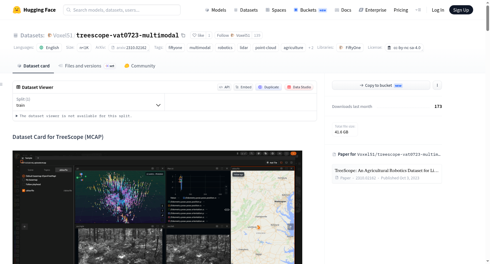
这是一个经过整理的TreeScope v1.0机器人数据集的10个多模态子集,重新打包为时间同步的MCAP记录,用于FiftyOne的多模态数据集支持。每个样本都是来自TreeScope VAT-0723站点(位于弗吉尼亚州Appomattox-Buckingham州立森林)的连续无人机飞行片段,可以在FiftyOne的平铺多模态查看器中查看,同步播放相机、LiDAR点云、GPS、IMU、诊断和日志数据。TreeScope本身是一个用于精准农业和林业的LiDAR数据集,通过无人机和移动机器人平台在六个森林和果园站点收集,带有手动标注的语义标签和现场测量的树木直径,用于基准测试分割和直径估计算法。这个重新打包版本仅使用一个站点的原始传感器流,不包含TreeScope原始的语义分割或DBH地面真值。数据集由GRASP实验室(宾夕法尼亚大学)等团队创建,由IoT4Ag ERC等机构资助,采用CC BY-NC-SA 4.0许可证(仅限非商业使用)。
This dataset is a curated, 10-episode multimodal subset of the TreeScope v1.0 robotics dataset, repackaged as time-synchronized MCAP recordings for FiftyOnes native multimodal dataset support (introduced in FiftyOne 1.19). Each sample is one continuous UAV flight episode from TreeScopes VAT-0723 site (Appomattox-Buckingham State Forest, Virginia), viewable in FiftyOnes tiled multimodal viewer with synchronized camera, LiDAR point cloud, GPS, IMU, diagnostics, and log playback. TreeScope itself is a LiDAR dataset for precision agriculture and forestry, collected with UAV and mobile robot platforms across six forest and orchard sites, with manually-annotated semantic labels and field-measured tree diameters for benchmarking segmentation and diameter-estimation algorithms. This repackaging uses only the raw sensor streams from one site — it does not carry over TreeScopes original semantic-segmentation or DBH ground truth. The dataset is curated by the GRASP Laboratory (University of Pennsylvania) and others, funded by IoT4Ag ERC and other grants, and licensed under CC BY-NC-SA 4.0 (non-commercial use only).