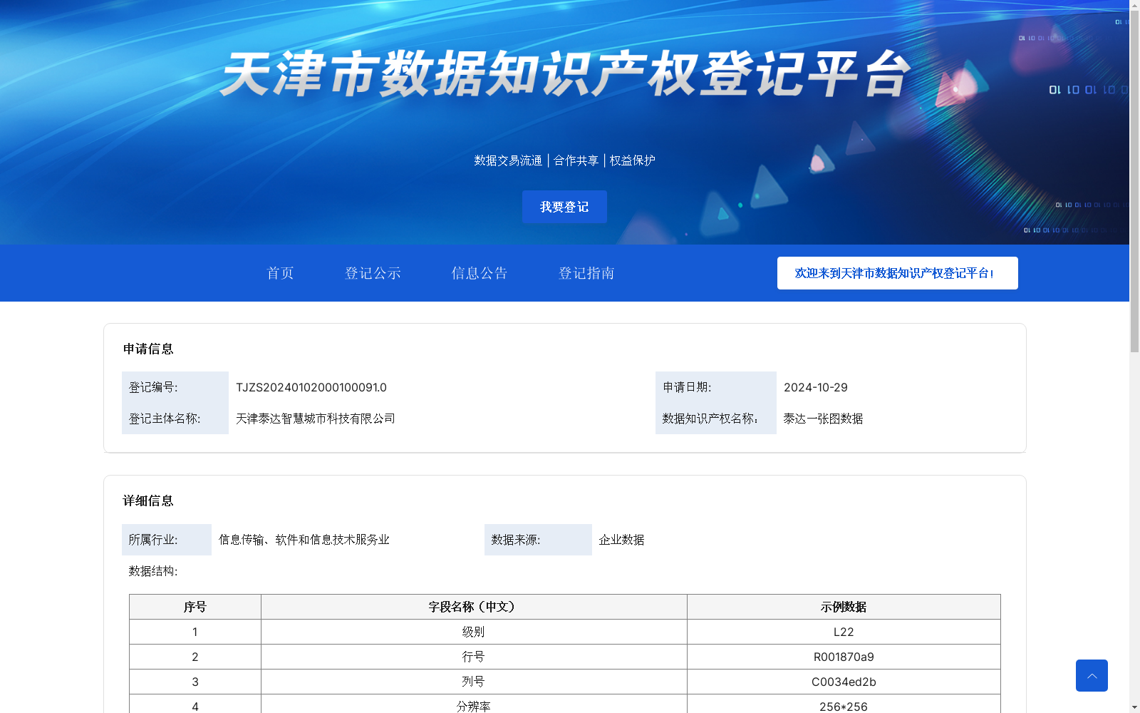
泰达一张图数据
收藏天津市数据知识产权登记平台2024-11-05 更新2024-11-18 收录
下载链接:
https://dengji.tjippc.cn/xxgg_nr?id=4c8a203b-c940-4a2f-af65-26dcb401ab32
下载链接
链接失效反馈官方服务:
资源简介:
通过多种空间数据的叠加、匹配与分析等算法,实现了对二维、三维及地下管线等不同数据层的管理与交互。
1.数据转换与汇聚算法。对不同来源的规划数据、测绘数据等进行统一的格式转换,以实现多类型数据的汇聚和一致性,确保各类数据能统一在系统中进行展示、分析及查询。
2.空间查询算法。为满足用户对于特定区域、时间段的查询需求,使用空间查询算法,对二维影像数据、三维模型数据等进行快速定位和条件过滤,实现模糊搜索,提升用户在地理空间上的数据获取效率。
3.叠加分析算法。通过叠加分析算法,将控规、权属、道路等不同空间数据层进行叠加与对比,辅助用户进行现状核实和空间分析,不仅提高了空间数据的直观性,还支持多层级、多数据源的复合分析需求。
4.统计与可视化算法。对已建、在建、规划项目的统计分析及可视化呈现,通过对地下管线长度、数量等信息的自动汇总,系统生成图表,用户可直接导出Excel文件,以便进一步应用或汇报。
5.辅助决策算法。针对日照分析、地下空间规划等特定应用场景,利用现有空间数据进行多维分析,为区域规划及资源配置提供依据和支持。
This dataset leverages algorithms including spatial data overlay, matching and analysis to enable the management and interaction of diverse data layers such as 2D, 3D and underground pipelines.
1. Data Conversion and Aggregation Algorithm. It performs unified format conversion on planning data, surveying and mapping data and other data from different sources to achieve aggregation and consistency of multi-type data, ensuring that all types of data can be uniformly displayed, analyzed and queried in the system.
2. Spatial Query Algorithm. To meet users' query requirements for specific regions and time periods, spatial query algorithms are used to quickly locate and conditionally filter 2D image data, 3D model data and other data, realizing fuzzy search and improving users' data acquisition efficiency in geospatial scenarios.
3. Overlay Analysis Algorithm. Through overlay analysis algorithms, different spatial data layers such as regulatory detailed planning, land ownership and roads are overlaid and compared to assist users in current situation verification and spatial analysis. This not only improves the intuitiveness of spatial data, but also supports the composite analysis requirements of multi-level and multi-data sources.
4. Statistics and Visualization Algorithm. It conducts statistical analysis and visual presentation of completed, under-construction and planned projects. By automatically summarizing information such as the length and quantity of underground pipelines, the system generates charts, and users can directly export Excel files for further application or reporting.
5. Auxiliary Decision-Making Algorithm. For specific application scenarios such as sunshine analysis and underground space planning, it uses existing spatial data to conduct multi-dimensional analysis, providing a basis and support for regional planning and resource allocation.
提供机构:
天津泰达智慧城市科技有限公司
创建时间:
2024-10-29
搜集汇总
数据集介绍
特点
泰达一张图数据是一个由天津泰达智慧城市科技有限公司提供的数据集,包含108897条数据,更新频次为自定义更新。该数据集适用于区域规划、测绘及业务系统汇聚、管理和分析的场景,支持多维度的数据查询和模糊搜索,为区域管理和决策提供支持。
以上内容由遇见数据集搜集并总结生成


