极端降水灾害危险性空间分布数据集(2014-2018)
收藏资源简介:
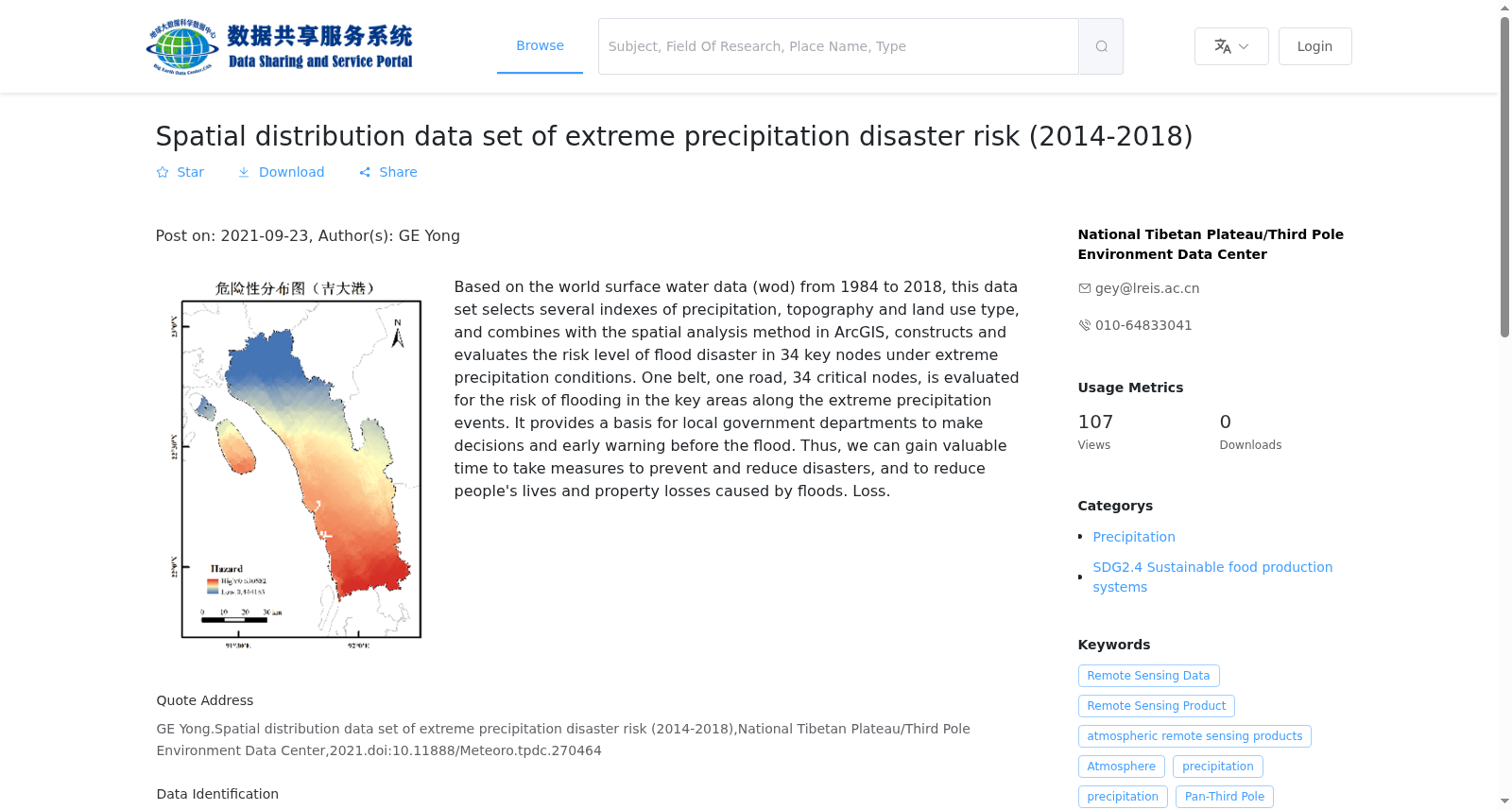
此数据集以1984-2018年全球地表水数据(WOD)为基础,选取了降水、地形、土地利用类型几个指标,结合ArcGIS中的空间分析方法,构建评估了34个关键节点在极端降水条件下发生洪涝灾害的危险性等级。34个关键节点百里级危险性评估数据集评估了“一带一路”重点区域在极端降水事件下的洪涝灾害危险性,为当地政府部门决策提供依据,同时以便在洪涝灾害发生前进行预警,从而可以争取到宝贵的时间采取防灾减灾措施,降低洪涝灾害所带来的人民群众生命财产损失。
This dataset is developed based on the Global Surface Water Data (WOD) spanning from 1984 to 2018. It selects multiple indicators including precipitation, topography and land use type, and leverages spatial analysis tools in ArcGIS to construct and assess the flood disaster risk grades of 34 key nodes under extreme precipitation conditions. The hundred-li-scale risk assessment dataset focusing on these 34 key nodes evaluates flood disaster risks in the key areas of the Belt and Road Initiative during extreme precipitation events. This dataset serves as a decision-making reference for local government authorities, enables early pre-warning prior to flood disasters, and allows valuable time to be gained for implementing disaster prevention and mitigation measures, thus reducing the loss of human lives and property caused by flood disasters.