
OHID-1: A New Large Hyperspectral Image Dataset for Multi-Classification
收藏DataCite Commons2025-02-13 更新2025-04-19 收录
下载链接:
https://springernature.figshare.com/articles/dataset/OHID-1_A_New_Large_Hyperspectral_Image_Dataset_for_Multi-Classification/28090406
下载链接
链接失效反馈官方服务:
资源简介:
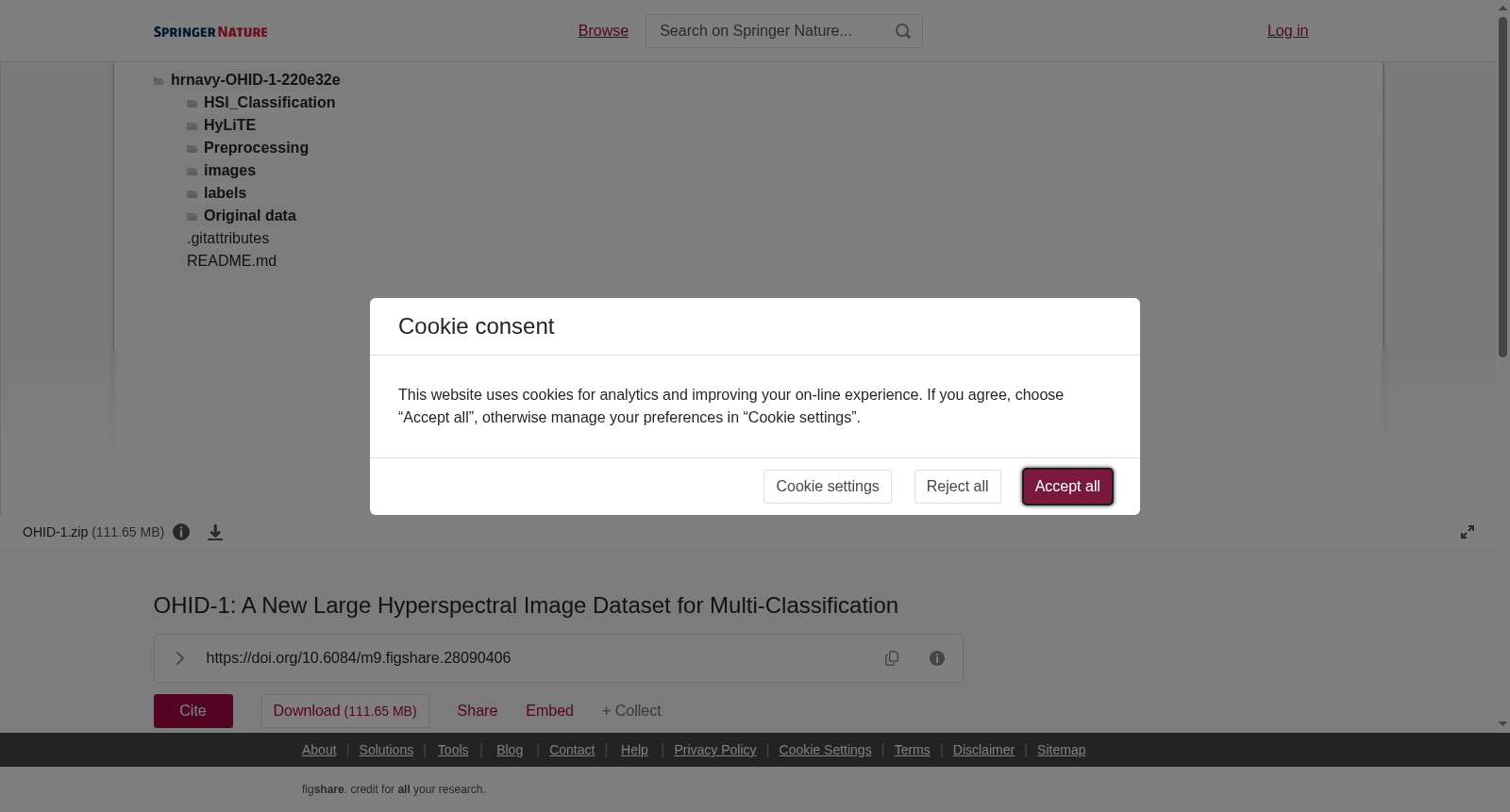
In the context of the increasing popularity of Big Data paradigms and deep learning techniques, we introduce a novel large-scale hyperspectral imagery dataset, termed Orbita Hyperspectral Images Dataset-1 (OHID-1). It comprises 10 hyperspectral images sourced from diverse regions of Zhuhai City, China, each boasting 32 spectral bands with a spatial resolution of 10 meters and spanning a spectral range of 400-1000 nanometers. The core objective of this dataset is to elevate the performance of hyperspectral image classification and pose substantial challenges to existing hyperspectral image processing algorithms. When compared to traditional open-source hyperspectral datasets and recently released large-scale hyperspectral datasets, OHID-1 presents more intricate features and a higher degree of classification complexity by providing 7 classes labels in wider area. Furthermore, this study demonstrates the utility of OHID-1 by testing it with selected hyperspectral classification algorithms. This dataset will be useful to advance cutting-edge research in urban sustainable development science, land use analysis. We invite the scientific community to devise novel methodologies for an in-depth analysis of these data.
随着大数据范式与深度学习技术愈发普及,我们推出了一款新型大规模高光谱图像数据集,命名为Orbita高光谱图像数据集-1(Orbita Hyperspectral Images Dataset-1,简称OHID-1)。该数据集包含源自中国珠海市不同区域的10幅高光谱图像,每幅图像均具备32个光谱波段,空间分辨率为10米,光谱覆盖范围为400~1000纳米。本数据集的核心目标在于提升高光谱图像分类任务的性能,并对现有高光谱图像处理算法构成显著挑战。相较于传统开源高光谱数据集与近期发布的大规模高光谱数据集,OHID-1通过在更大范围内提供7类标签,具备更复杂的特征与更高的分类复杂度。此外,本研究通过选取多款高光谱分类算法对OHID-1进行测试,验证了该数据集的应用价值。该数据集将有助于推动城市可持续发展科学、土地利用分析领域的前沿研究。我们诚挚邀请科研界同仁针对该数据集开发全新分析方法,以开展深入研究。
提供机构:
figshare
创建时间:
2024-12-24
搜集汇总
数据集介绍
背景与挑战
背景概述
OHID-1是一个新的大型高光谱图像数据集,包含10幅来自中国珠海市不同区域的高光谱图像,每幅图像有32个光谱波段,空间分辨率为10米,光谱范围为400-1000纳米。该数据集旨在提升高光谱图像分类性能,并提供7个类别标签,覆盖更广区域,具有更复杂的特征和更高的分类难度,适用于城市可持续发展和土地利用分析研究。
以上内容由遇见数据集搜集并总结生成



