新疆维吾尔自治区1995年湿地分布图
收藏国家林业和草原科学数据中心2007-05-09 更新2024-03-06 收录
下载链接:
https://www.forestdata.cn/dataDetail.html?id=CSTR:17575.11.0120190509025.010001.V1
下载链接
链接失效反馈官方服务:
资源简介:
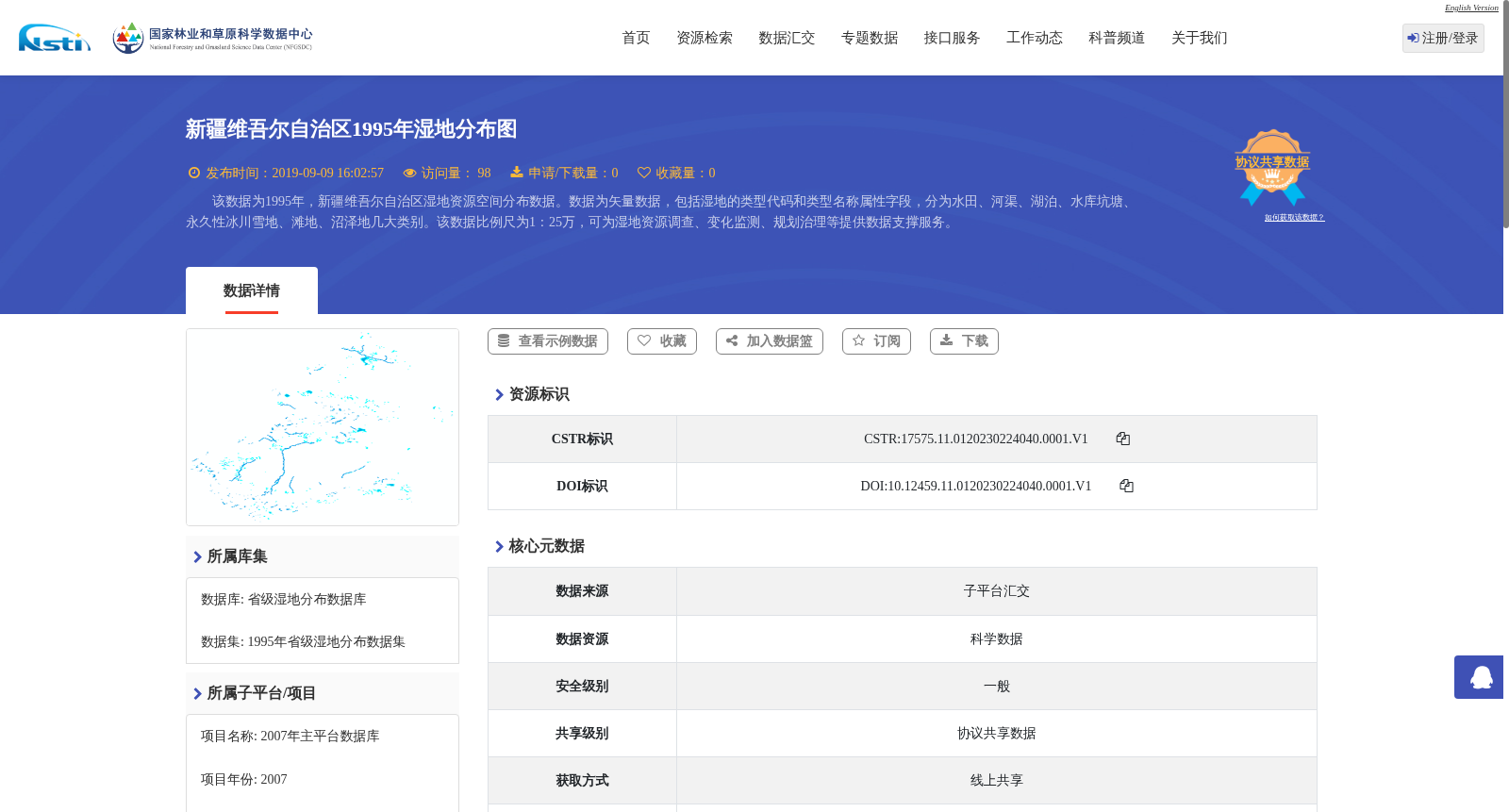
该数据为1995年,新疆维吾尔自治区湿地资源空间分布数据。数据为矢量数据,包括湿地的类型代码和类型名称属性字段,分为水田、河渠、湖泊、水库坑塘、永久性冰川雪地、滩地、沼泽地几大类别。该数据比例尺为1:25万,可为湿地资源调查、变化监测、规划治理等提供数据支撑服务。
This is a spatial distribution dataset of wetland resources in the Xinjiang Uygur Autonomous Region, generated in 1995. It is vector data with attribute fields including wetland type codes and type names, and covers seven main wetland categories: paddy fields, rivers and canals, lakes, reservoirs and ponds, permanent glaciers and snow cover, riparian flats, and marshes. With a scale of 1:250,000, this dataset provides data support for wetland resource surveys, change monitoring, planning and management, and other related research and practice.
提供机构:
国家林业和草原科学数据中心
创建时间:
2007-05-09
搜集汇总
数据集介绍
背景与挑战
背景概述
该数据集是新疆维吾尔自治区1995年的湿地资源空间分布矢量数据,比例尺为1:25万,包含水田、河渠、湖泊、水库坑塘、永久性冰川雪地、滩地和沼泽地等湿地类型。数据可用于湿地资源调查、变化监测和规划治理,由省级湿地分布数据库管理,以协议共享方式提供。
以上内容由遇见数据集搜集并总结生成


