
UrbanBIS
收藏资源简介:
UrbanBIS是由深圳大学创建的一个大规模3D城市数据集,包含25亿个标注点,覆盖面积达10.78平方公里,涵盖六个真实城市场景。数据集通过航空摄影测量技术获取,提供了丰富的城市对象语义标注,包括建筑、车辆、植被、道路和桥梁等,并首次引入了建筑子类别的精细分类。UrbanBIS的创建过程复杂且成本高昂,涉及无人机图像采集、3D城市重建、3D网格标注等多个步骤。该数据集主要用于支持大规模城市级别的语义和建筑实例分割,以及其他高级任务和应用,如图像重建和场景完成,为智能城市应用提供了重要平台。
UrbanBIS is a large-scale 3D urban dataset created by Shenzhen University. It contains 2.5 billion annotated points, covers an area of 10.78 square kilometers, and encompasses six real urban scenarios. Acquired via aerophotogrammetry technology, the dataset provides rich semantic annotations for urban objects including buildings, vehicles, vegetation, roads, bridges and more, and introduces fine-grained classification of building subcategories for the first time. The development of UrbanBIS is complex and costly, involving multiple steps such as UAV image collection, 3D urban reconstruction and 3D grid annotation. This dataset is primarily designed to support large-scale urban-level semantic and building instance segmentation, as well as other advanced tasks and applications like image reconstruction and scene completion, serving as an important platform for smart city applications.
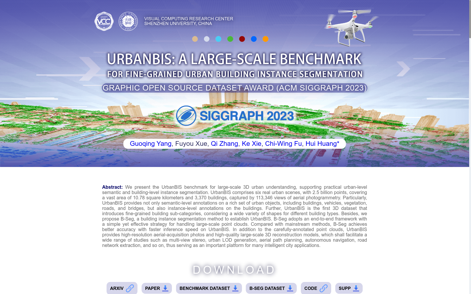
- 1UrbanBIS: a Large-scale Benchmark for Fine-grained Urban Building Instance Segmentation深圳大学 · 2023年


