2025年1月7日定日县地震应急震后遥感影像数据集
收藏国家青藏高原科学数据中心2025-01-08 更新2025-01-18 收录
下载链接:
https://data.tpdc.ac.cn/zh-hans/data/afff3590-5b3f-44d2-b478-740d949fec74
下载链接
链接失效反馈官方服务:
资源简介:
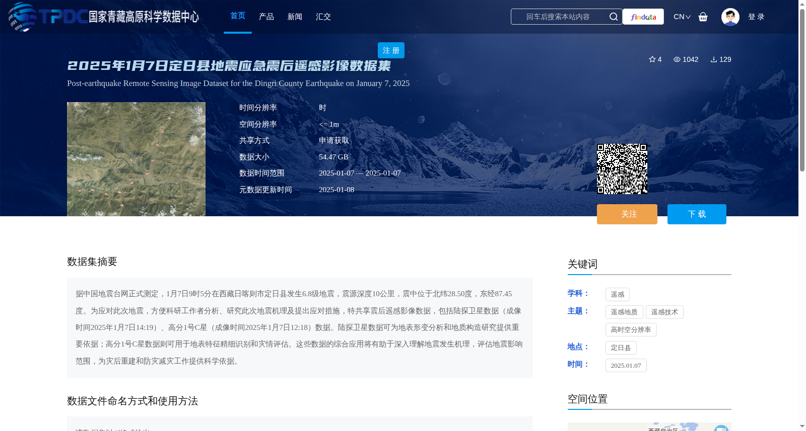
据中国地震台网正式测定,1月7日9时5分在西藏日喀则市定日县发生6.8级地震,震源深度10公里,震中位于北纬28.50度,东经87.45度。为应对此次地震,方便科研工作者分析、研究此次地震机理及提出应对措施,特共享震后遥感影像数据,包括陆探卫星数据(成像时间2025年1月7日14:19)、高分1号C星(成像时间2025年1月7日12:18)数据。陆探卫星数据可为地表形变分析和地质构造研究提供重要依据;高分1号C星数据则可用于地表特征精细识别和灾情评估。这些数据的综合应用将有助于深入理解地震发生机理,评估地震影响范围,为灾后重建和防灾减灾工作提供科学依据。
Officially confirmed by the China Earthquake Networks Center, a 6.8-magnitude earthquake struck Dinggyê County, Xigazê City, Tibet Autonomous Region at 09:05 on January 7, with a focal depth of 10 kilometers. The epicenter is located at 28.50°N and 87.45°E. To respond to this earthquake and facilitate researchers' analysis of the earthquake mechanism and formulation of response measures, post-earthquake remote sensing image data are hereby shared, including land exploration satellite data (imaging time: 14:19, January 7, 2025) and Gaofen-1 C satellite data (imaging time: 12:18, January 7, 2025). The land exploration satellite data can provide important references for surface deformation analysis and geological structure research; the Gaofen-1 C satellite data can be used for fine-grained identification of surface features and disaster assessment. The comprehensive application of these data will help to gain an in-depth understanding of the earthquake occurrence mechanism, evaluate the earthquake impact scope, and provide scientific basis for post-disaster reconstruction and disaster prevention and mitigation work.
提供机构:
高分辨率对地观测系统甘肃数据与应用中心
创建时间:
2025-01-07
搜集汇总
数据集介绍
背景与挑战
背景概述
该数据集是针对2025年1月7日西藏定日县6.8级地震的应急震后遥感影像数据,包含陆探卫星和高分1号C星的影像,空间分辨率高达1米以内,成像时间集中在震后当天。数据主要用于地表形变分析、地质构造研究和灾情评估,为地震机理研究和灾后重建提供科学依据。
以上内容由遇见数据集搜集并总结生成


