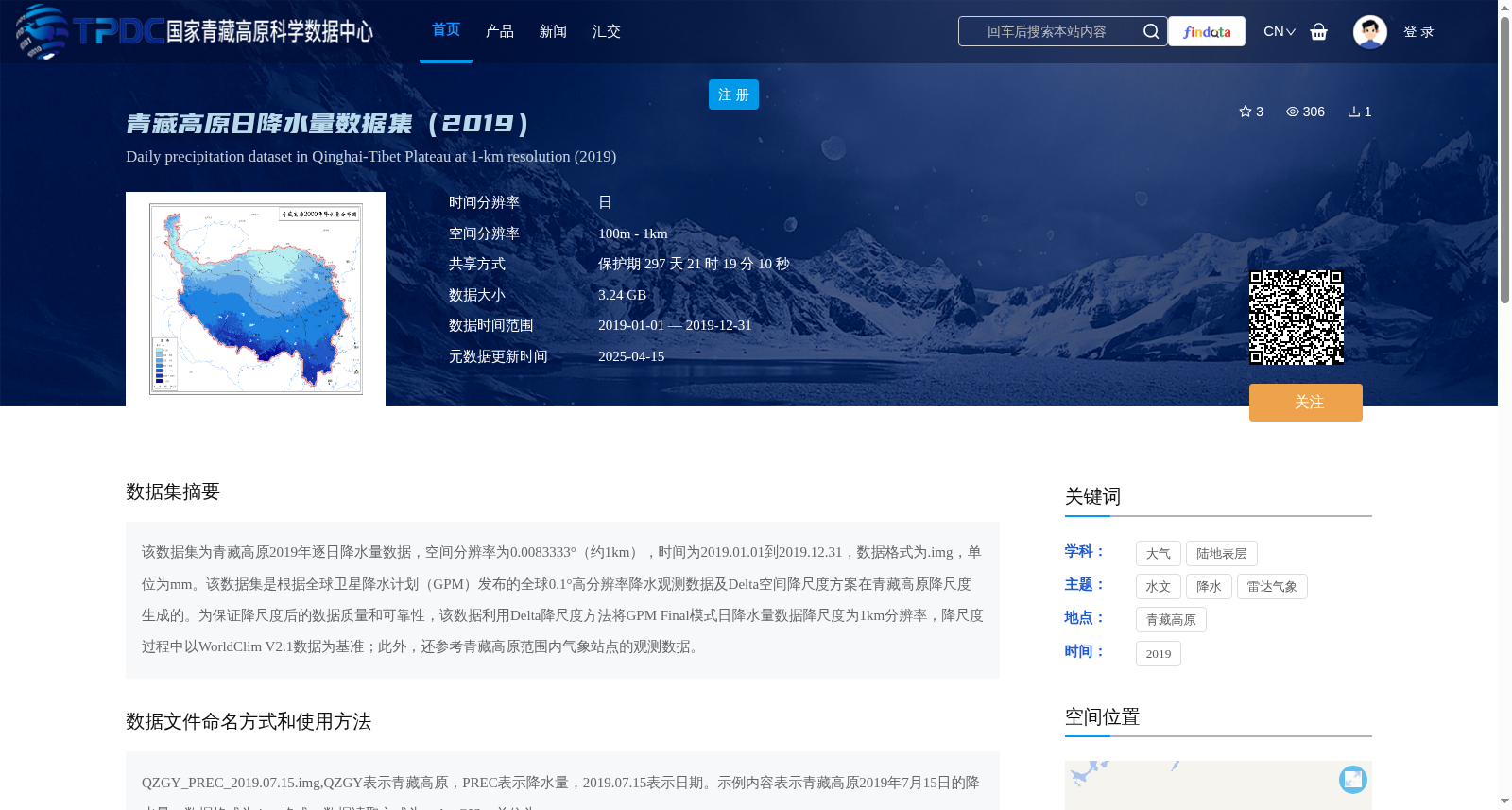
青藏高原日降水量数据集(2019)
收藏资源简介:
该数据集为青藏高原2019年逐日降水量数据,空间分辨率为0.0083333°(约1km),时间为2019.01.01到2019.12.31,数据格式为.img,单位为mm。该数据集是根据全球卫星降水计划(GPM)发布的全球0.1°高分辨率降水观测数据及Delta空间降尺度方案在青藏高原降尺度生成的。为保证降尺度后的数据质量和可靠性,该数据利用Delta降尺度方法将GPM Final模式日降水量数据降尺度为1km分辨率,降尺度过程中以WorldClim V2.1数据为基准;此外,还参考青藏高原范围内气象站点的观测数据。
This dataset comprises daily precipitation data over the Qinghai-Tibet Plateau in 2019. It has a spatial resolution of 0.0083333° (approximately 1 km), covers the period from January 1, 2019 to December 31, 2019, is stored in .img format, and uses millimeters (mm) as the unit of measurement. This dataset was generated by downscaling the global 0.1° high-resolution precipitation observation data released by the Global Precipitation Measurement (GPM) mission over the Qinghai-Tibet Plateau using the Delta spatial downscaling method. To ensure the quality and reliability of the downscaled data, the daily precipitation data from the GPM Final Run product was downscaled to 1 km resolution via the Delta downscaling method, with the WorldClim V2.1 dataset serving as the reference baseline. Additionally, observational data from meteorological stations within the Qinghai-Tibet Plateau was also incorporated during the downscaling process.