SAR卫星服务
收藏苏州大数据交易所2023-04-28 更新2024-04-26 收录
下载链接:
https://jy.suzhou.com.cn/#/product-detail/429
下载链接
链接失效反馈官方服务:
资源简介:
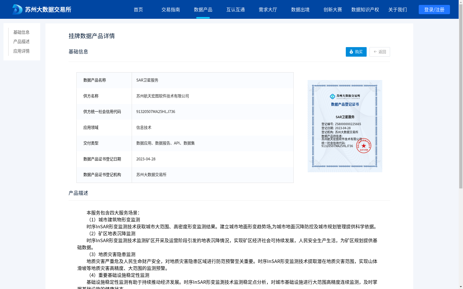
本服务包含四大服务场景: (1)城市建筑物形变监测 时序InSAR形变监测技术获取城市大范围、高密度形变监测结果。建立城市地面形变趋势场,为城市地面沉降防控及城市规划管理提供科学依据。 (2)矿区地表沉降监测 时序InSAR形变监测技术监测矿区开采及运营阶段引发的地表沉降情況,实现矿区经济社会可持续发展,人民安全生产生活,为矿区规划提供基础数据。 (3)地质灾害隐患监测 地质灾害严重危及人民生命财产安全,对地质灾害隐患区域进行防范预警至关重要。时序InSAR形变监测技术提取潜在地质灾害范围,实现山体滑坡等地质灾害高精度、大范围的监测预警。 (4)重要基础设施稳定性监测 基础设施稳定性监测有助于持续推动经济发展。时序InSAR形变监測技术监测稳定点分析,对城市基础设施进行大范围高精度连续监测,及时掌握基础设施的健康状态。
This service covers four major application scenarios:
(1) Urban Building Deformation Monitoring
Time-series InSAR deformation monitoring technology is applied to obtain large-scale, high-density deformation monitoring results across urban areas, establishing an urban ground deformation trend field to provide scientific basis for urban land subsidence prevention and control as well as urban planning and management.
(2) Mining Area Surface Subsidence Monitoring
Time-series InSAR deformation monitoring technology is used to monitor surface subsidence caused during the mining and operation phases of mining areas, supporting the sustainable economic and social development of mining areas, safe production and living of local residents, and providing basic data for mining area planning.
(3) Monitoring of Potential Geological Hazards
Geological hazards severely threaten people's lives and property, so preventive early warning for potential geological hazard areas is critically important. Time-series InSAR deformation monitoring technology extracts the scope of potential geological hazards, enabling high-precision, large-scale monitoring and early warning of geological disasters such as mountain landslides.
(4) Stability Monitoring of Key Infrastructures
Stability monitoring of infrastructures contributes to sustained economic development. Time-series InSAR deformation monitoring technology analyzes stable reference points, conducts large-scale, high-precision continuous monitoring of urban infrastructures, and allows timely acquisition of the health status of these infrastructures.
提供机构:
苏州航天宏图软件技术有限公司
创建时间:
2023-04-28
搜集汇总
数据集介绍
背景与挑战
背景概述
SAR卫星服务数据集由苏州航天宏图软件技术有限公司提供,主要应用于信息技术领域,包含城市建筑物形变监测、矿区地表沉降监测、地质灾害隐患监测和重要基础设施稳定性监测四大服务场景。该数据集通过时序InSAR形变监测技术实现高精度、大范围的监测,应用案例显示其在天津市地面沉降监测中取得了毫米级精度的效果。
以上内容由遇见数据集搜集并总结生成


