2017年三江源、普尔河、育空河流域基于10mSentinel-2的水体产品(正式版)
收藏资源简介:
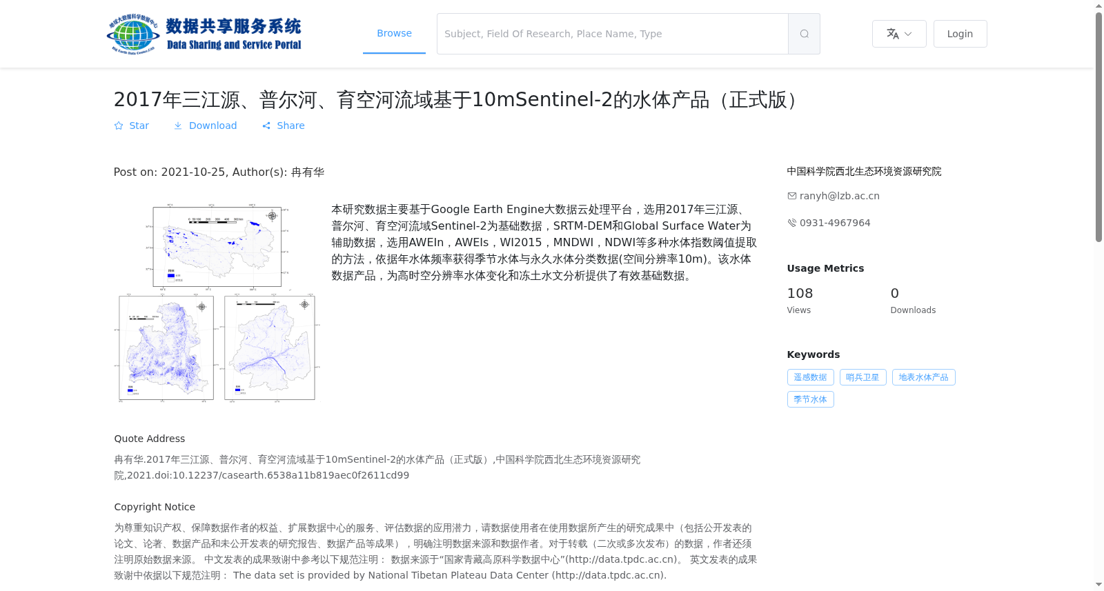
本研究数据主要基于Google Earth Engine大数据云处理平台,选用2017年三江源、普尔河、育空河流域Sentinel-2为基础数据,SRTM-DEM和Global Surface Water为辅助数据,选用AWEIn,AWEIs,WI2015,MNDWI,NDWI等多种水体指数阈值提取的方法,依据年水体频率获得季节水体与永久水体分类数据(空间分辨率10m)。该水体数据产品,为高时空分辨率水体变化和冻土水文分析提供了有效基础数据。
The dataset utilized in this study is primarily developed on the Google Earth Engine (GEE) big data cloud processing platform. Sentinel-2 imagery acquired in 2017 across the Sanjiangyuan, Pur River, and Yukon River basins was selected as the primary base data, while SRTM-DEM and Global Surface Water datasets served as auxiliary data. Multiple threshold-based extraction methods employing water indices including AWEIn, AWEIs, WI2015, MNDWI, and NDWI were adopted. Seasonal and permanent water body classification data with a spatial resolution of 10 meters were generated based on annual water frequency. This water body dataset provides valid foundational data for high spatiotemporal resolution water body change analysis and permafrost hydrology studies.