AMSR-E和AMSR2数据的全球长时序日尺度土壤水分数据集(2002-2021)
收藏资源简介:
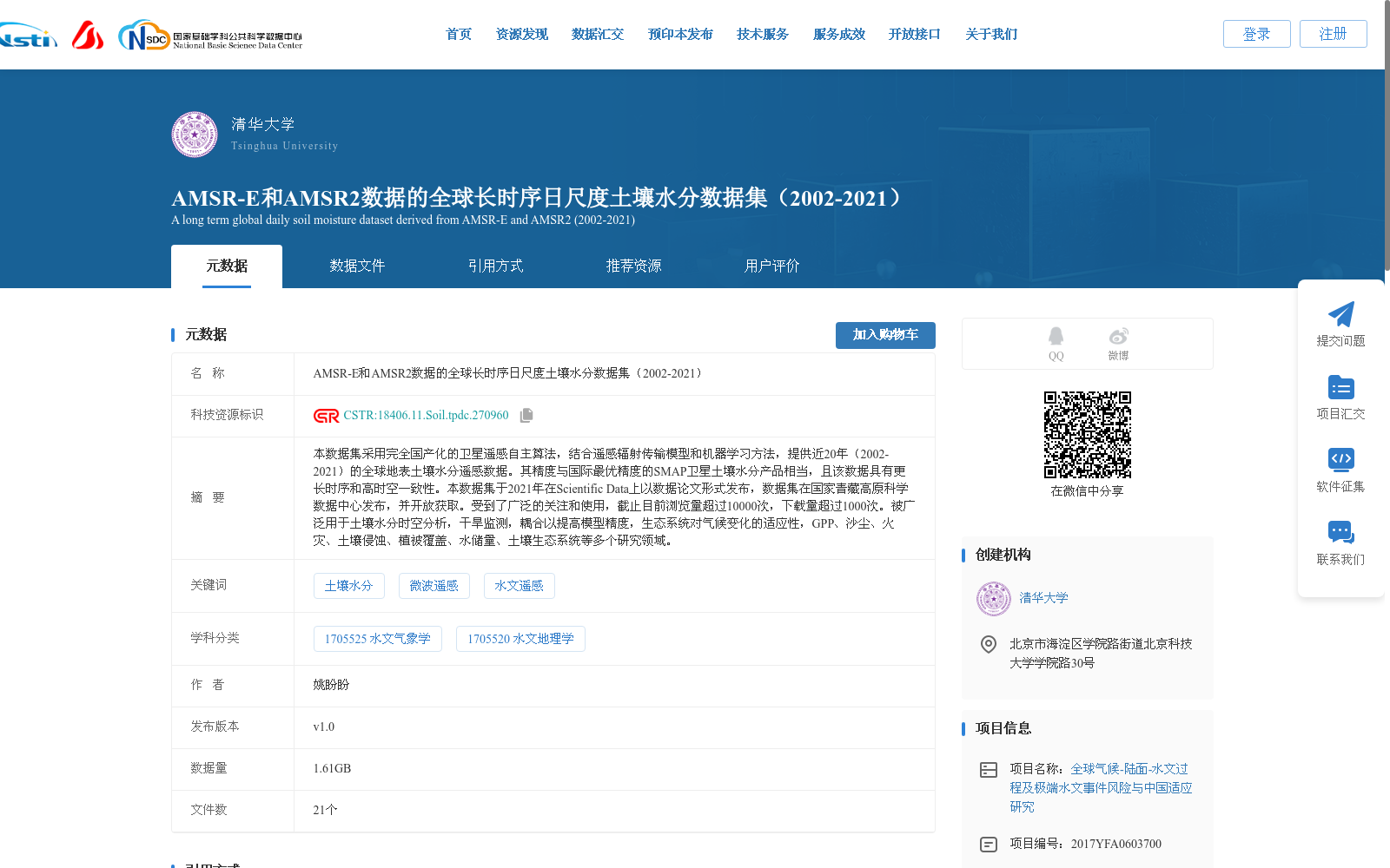
本数据集采用完全国产化的卫星遥感自主算法,结合遥感辐射传输模型和机器学习方法,提供近20年(2002-2021)的全球地表土壤水分遥感数据。其精度与国际最优精度的SMAP卫星土壤水分产品相当,且该数据具有更长时序和高时空一致性。本数据集于2021年在Scientific Data上以数据论文形式发布,数据集在国家青藏高原科学数据中心发布,并开放获取。受到了广泛的关注和使用,截止目前浏览量超过10000次,下载量超过1000次。被广泛用于土壤水分时空分析,干旱监测,耦合以提高模型精度,生态系统对气候变化的适应性,GPP、沙尘、火灾、土壤侵蚀、植被覆盖、水储量、土壤生态系统等多个研究领域。
This dataset provides global surface soil moisture remote sensing data spanning nearly 20 years (2002–2021), generated using fully domestically developed autonomous satellite remote sensing algorithms combined with remote sensing radiative transfer models and machine learning methods. Its accuracy matches that of the state-of-the-art SMAP satellite soil moisture product, while offering a longer time series and high spatiotemporal consistency. Published as a data paper in *Scientific Data* in 2021, the dataset is released and openly accessible via the National Tibetan Plateau Data Center. It has attracted widespread attention and usage, with over 10,000 page views and more than 1,000 downloads as of the present. This dataset has been widely applied in multiple research domains, including spatiotemporal analysis of soil moisture, drought monitoring, model coupling to improve prediction accuracy, ecosystem adaptability to climate change, as well as studies on GPP, dust storms, wildfires, soil erosion, vegetation cover, water storage, and soil ecosystems.