重点区域旗舰物种分布图集(2020版)
收藏国家青藏高原科学数据中心2021-04-25 更新2024-03-01 收录
下载链接:
https://data.tpdc.ac.cn/zh-hans/data/3c45de5c-749c-4714-858f-b6adf45cc7dc
下载链接
链接失效反馈官方服务:
资源简介:
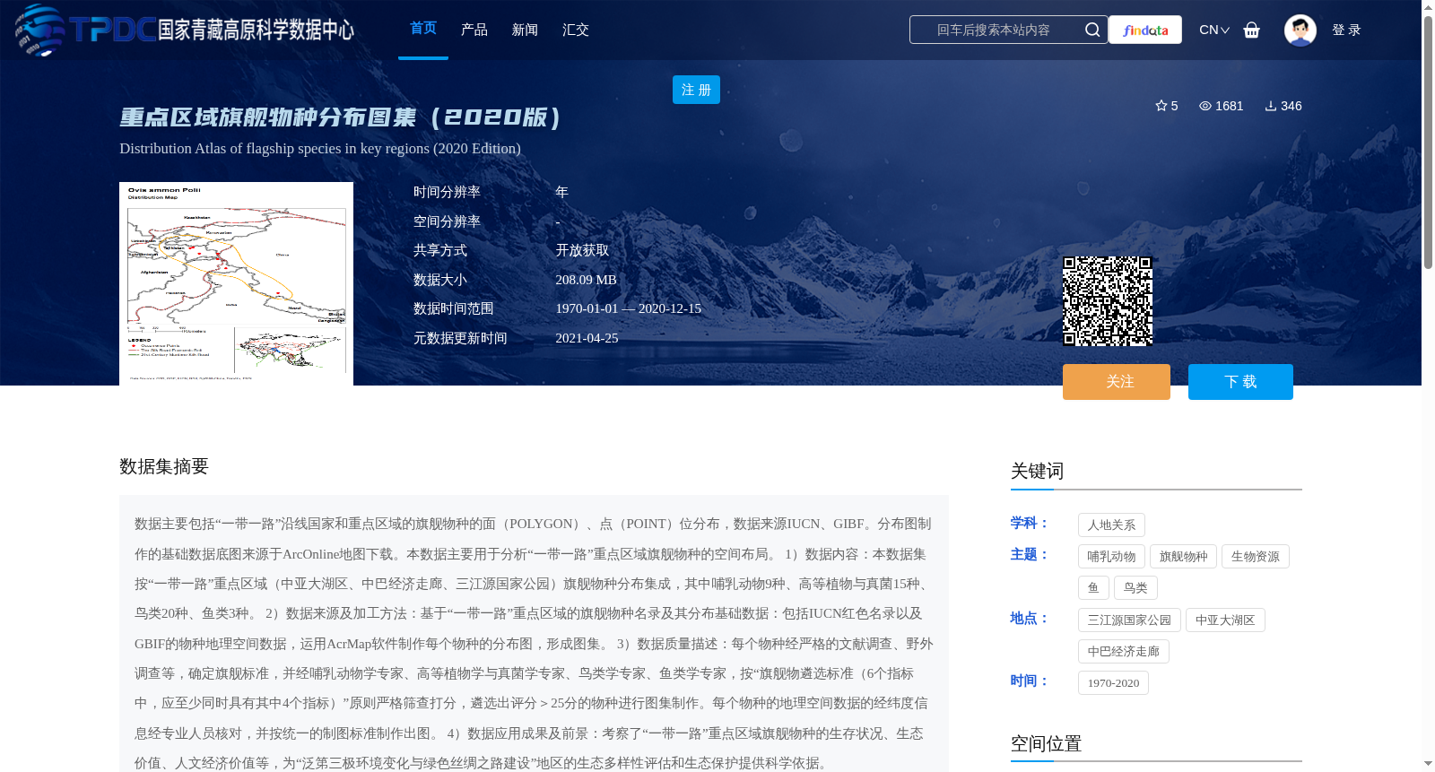
数据主要包括“一带一路”沿线国家和重点区域的旗舰物种的面(POLYGON)、点(POINT)位分布,数据来源IUCN、GIBF。分布图制作的基础数据底图来源于ArcOnline地图下载。本数据主要用于分析“一带一路”重点区域旗舰物种的空间布局。
1)数据内容:本数据集按“一带一路”重点区域(中亚大湖区、中巴经济走廊、三江源国家公园)旗舰物种分布集成,其中哺乳动物9种、高等植物与真菌15种、鸟类20种、鱼类3种。
2)数据来源及加工方法:基于“一带一路”重点区域的旗舰物种名录及其分布基础数据:包括IUCN红色名录以及GBIF的物种地理空间数据,运用AcrMap软件制作每个物种的分布图,形成图集。
3)数据质量描述:每个物种经严格的文献调查、野外调查等,确定旗舰标准,并经哺乳动物学专家、高等植物学与真菌学专家、鸟类学专家、鱼类学专家,按“旗舰物遴选标准(6个指标中,应至少同时具有其中4个指标)”原则严格筛查打分,遴选出评分>25分的物种进行图集制作。每个物种的地理空间数据的经纬度信息经专业人员核对,并按统一的制图标准制作出图。
4)数据应用成果及前景:考察了“一带一路”重点区域旗舰物种的生存状况、生态价值、人文经济价值等,为“泛第三极环境变化与绿色丝绸之路建设”地区的生态多样性评估和生态保护提供科学依据。
This dataset primarily contains the spatial distributions of flagship species in POLYGON and POINT formats across countries and key regions along the Belt and Road (B&R). The data sources are IUCN and GBIF. The base map for generating distribution maps was downloaded from ArcOnline. This dataset is mainly used to analyze the spatial distribution patterns of flagship species in key B&R regions.
1. Data Content: This dataset integrates the distribution data of flagship species in key B&R regions, including the Central Asia Great Lakes Region, China-Pakistan Economic Corridor, and Sanjiangyuan National Park. The recorded species cover 9 mammal species, 15 higher plant and fungal species, 20 bird species, and 3 fish species.
2. Data Sources and Processing Methods: Based on the list of flagship species and their basic geospatial distribution data in key B&R regions, including the IUCN Red List and geospatial species data from GBIF, ArcMap software was used to create individual distribution maps for each species, forming a comprehensive atlas.
3. Data Quality Description: For each candidate species, the eligibility as a flagship species was determined via rigorous literature reviews and field surveys. Subsequently, mammalogy experts, botany and mycology experts, ornithology experts, and ichthyology experts conducted strict screening and scoring in accordance with the principle that "flagship species selection requires meeting at least 4 out of 6 predefined indicators". Only species with a score greater than 25 were selected for atlas production. The latitude and longitude information of the geospatial data for each species was verified by professional personnel, and all maps were generated following unified cartographic standards.
4. Data Application Achievements and Prospects: This dataset has been applied to investigate the survival status, ecological value, as well as humanistic and economic value of flagship species in key B&R regions, providing scientific support for biodiversity assessment and ecological conservation efforts in the context of "Pan-third Pole Environmental Changes and Green Silk Road Construction".
提供机构:
王雨华,张元明,杨维康,陈毅峰,屈延华,陈世龙,庄会富,王亚楠,林紫红
创建时间:
2020-12-30
搜集汇总
数据集介绍
背景与挑战
背景概述
该数据集为2020版重点区域旗舰物种分布图集,涵盖'一带一路'沿线国家和重点区域的多种旗舰物种分布数据,包括哺乳动物、高等植物与真菌、鸟类和鱼类等,数据来源可靠且经过专家严格筛查,主要用于生态多样性评估和生态保护研究。
以上内容由遇见数据集搜集并总结生成


