青藏高原湖泊面积年际变化空间分布数据集(2005-2020)
收藏国家青藏高原科学数据中心2025-01-06 更新2025-01-18 收录
下载链接:
https://data.tpdc.ac.cn/zh-hans/data/c3b74297-062d-4d3e-88db-6e7a0518202d
下载链接
链接失效反馈官方服务:
资源简介:
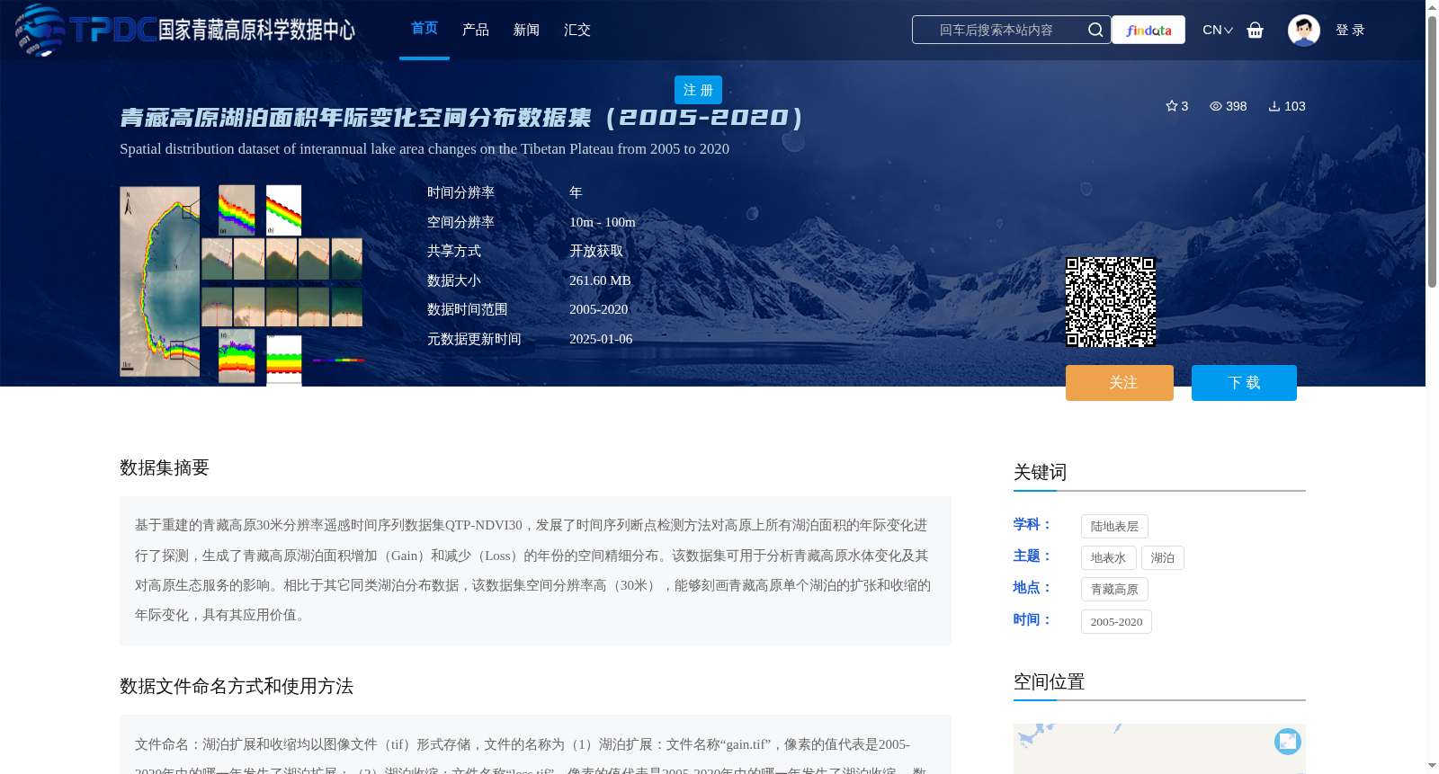
基于重建的青藏高原30米分辨率遥感时间序列数据集QTP-NDVI30,发展了时间序列断点检测方法对高原上所有湖泊面积的年际变化进行了探测,生成了青藏高原湖泊面积增加(Gain)和减少(Loss)的年份的空间精细分布。该数据集可用于分析青藏高原水体变化及其对高原生态服务的影响。相比于其它同类湖泊分布数据,该数据集空间分辨率高(30米),能够刻画青藏高原单个湖泊的扩张和收缩的年际变化,具有其应用价值。
Based on the reconstructed 30-meter resolution remote sensing time-series dataset QTP-NDVI30 of the Qinghai-Tibet Plateau (QTP), this study developed a time-series breakpoint detection method to detect the interannual variations in the area of all lakes on the plateau, and generated spatially refined distributions of the years when lake areas on the QTP experienced increases (Gain) and decreases (Loss). This dataset can be used to analyze water body changes on the Qinghai-Tibet Plateau and their impacts on the plateau's ecological services. Compared with other similar lake distribution datasets, this dataset boasts a high spatial resolution of 30 meters, and can capture the interannual changes in expansion and contraction of individual lakes on the QTP, thereby possessing considerable application value.
提供机构:
曹入尹
创建时间:
2024-12-23
搜集汇总
数据集介绍
背景与挑战
背景概述
该数据集提供了青藏高原湖泊面积年际变化的空间分布信息,时间覆盖2005至2020年,基于30米高分辨率遥感数据,通过断点检测方法识别湖泊扩张和收缩的具体年份。其特点在于能够精细刻画单个湖泊的年际变化,适用于分析水体动态变化及其对高原生态服务的影响,数据以tif格式存储,便于使用。
以上内容由遇见数据集搜集并总结生成


