中国数字高程图(1KM)
收藏国家青藏高原科学数据中心2021-04-24 更新2024-03-06 收录
下载链接:
https://data.tpdc.ac.cn/zh-hans/data/12e91073-0181-44bf-8308-c50e5bd9a734
下载链接
链接失效反馈官方服务:
资源简介:
DEM是数字高程模型的英文简称(Digital Elevation Model)是流域地形、地物识别的重要原始资料。DEM 的原理是将流域划分为m 行n列的四边形(CELL),计算每个四边形的平均高程,然后以二维矩阵的方式存储高程。由于DEM 数据能够反映一定分辨率的局部地形特征,因此通过DEM 可提取大量的地表形态信息,这些信息包含流域网格单元的坡度、坡向以及单元格之间的关系等。同时根据一定的算法可以确定地表水流路径、河流网络和流域的边界。因此从DEM 提取流域特征,一个良好的流域结构模式是设计算法的前提和关键。
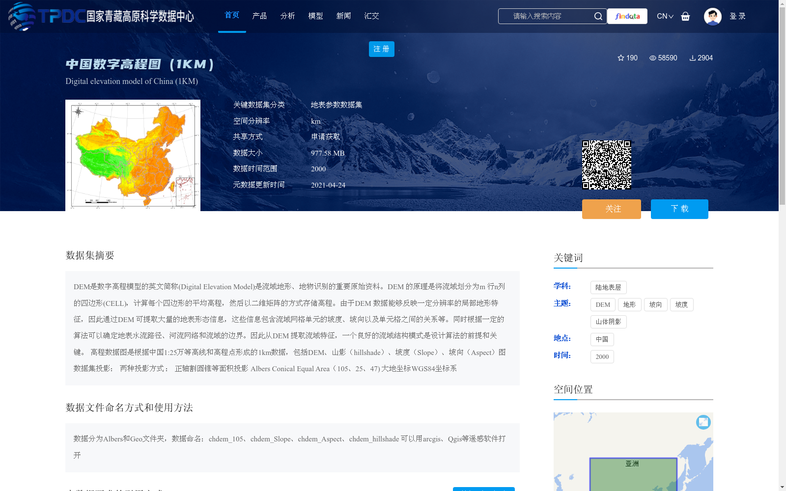
高程数据图是根据中国1:25万等高线和高程点形成的1km数据,包括DEM、山影(hillshade)、坡度(Slope)、坡向(Aspect)图
数据集投影:
两种投影方式 :
正轴割圆锥等面积投影 Albers Conical Equal Area(105、25、47)
大地坐标WGS84坐标系
DEM is the English abbreviation of Digital Elevation Model, which is an important raw data for watershed terrain and feature recognition. The principle of DEM is to divide a watershed into m rows and n columns of quadrilateral CELLs, calculate the average elevation of each quadrilateral cell, and store elevation data in the form of a two-dimensional matrix.
Since DEM data can reflect local topographic features at a certain resolution, a large amount of surface morphology information can be extracted from DEM, including the slope, aspect of watershed grid cells, and the relationships between cells, etc. Meanwhile, surface flow paths, river networks and watershed boundaries can be determined via specific algorithms. Therefore, when extracting watershed features from DEM, a robust watershed structure model is the prerequisite and key for algorithm design.
The elevation data maps are 1 km-resolution datasets generated based on China's 1:250,000 contour lines and elevation points, including DEM, hillshade, Slope and Aspect maps.
Dataset Projections:
Two projection methods are adopted:
1. Albers Conical Equal Area projection (standard parallels: 105°, 25°, 47°)
2. WGS84 geodetic coordinate system
提供机构:
汤国安
创建时间:
2019-06-29
搜集汇总
数据集介绍
背景与挑战
背景概述
该数据集是中国区域的数字高程模型(DEM),空间分辨率为1公里,基于2000年的1:25万等高线和高程点生成,包含DEM、山影、坡度和坡向图,用于流域地形分析和地表形态提取。数据采用Albers和WGS84投影,需申请获取,大小为977.58 MB,由中国科学院战略性先导科技专项资助。
以上内容由遇见数据集搜集并总结生成


