青藏高原国家公园群自然生态资源数据(2020)
收藏国家青藏高原科学数据中心2025-02-22 更新2025-04-19 收录
下载链接:
https://data.tpdc.ac.cn/zh-hans/data/c028c82a-2fcf-462f-ba01-721fd7f655c7
下载链接
链接失效反馈官方服务:
资源简介:
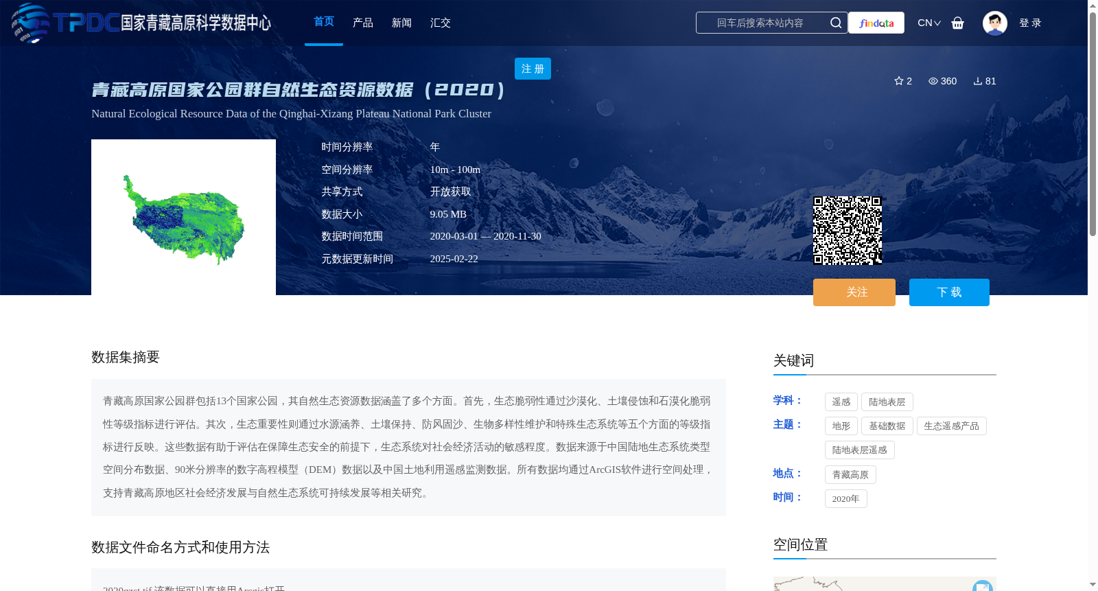
青藏高原国家公园群包括13个国家公园,其自然生态资源数据涵盖了多个方面。首先,生态脆弱性通过沙漠化、土壤侵蚀和石漠化脆弱性等级指标进行评估。其次,生态重要性则通过水源涵养、土壤保持、防风固沙、生物多样性维护和特殊生态系统等五个方面的等级指标进行反映。这些数据有助于评估在保障生态安全的前提下,生态系统对社会经济活动的敏感程度。数据来源于中国陆地生态系统类型空间分布数据、90米分辨率的数字高程模型(DEM)数据以及中国土地利用遥感监测数据。所有数据均通过ArcGIS软件进行空间处理,支持青藏高原地区社会经济发展与自然生态系统可持续发展等相关研究。
Qinghai-Tibet Plateau National Park Cluster consists of 13 national parks, and its natural ecological resource data covers multiple aspects. First, ecological vulnerability is assessed using vulnerability grade indicators for desertification, soil erosion, and rocky desertification. Second, ecological importance is reflected by grade indicators across five dimensions: water conservation, soil retention, windbreak and sand fixation, biodiversity conservation, and special ecosystems. These data help evaluate the sensitivity of ecosystems to socio-economic activities under the premise of ensuring ecological security. The data are sourced from spatial distribution data of China's terrestrial ecosystem types, 90-meter resolution Digital Elevation Model (DEM) data, and China's land use remote sensing monitoring data. All data have undergone spatial processing using ArcGIS software, supporting relevant research on socio-economic development and sustainable development of natural ecosystems in the Qinghai-Tibet Plateau region.
提供机构:
孙哲
创建时间:
2021-08-19
搜集汇总
数据集介绍
背景与挑战
背景概述
该数据集是2020年青藏高原国家公园群的自然生态资源数据,涵盖13个国家公园,通过生态脆弱性和重要性指标(如沙漠化、水源涵养等)评估生态系统状况,空间分辨率为10m-100m,数据格式为TIFF,适用于ArcGIS软件,支持生态安全和社会经济发展研究。
以上内容由遇见数据集搜集并总结生成


