青藏高原光学仪器遥感1km积雪覆盖数据集(1989-2018)
收藏国家青藏高原科学数据中心2021-04-19 更新2024-03-01 收录
下载链接:
https://data.tpdc.ac.cn/zh-hans/data/fe5f1e0b-6797-4bd7-8449-8b38513489e3
下载链接
链接失效反馈官方服务:
资源简介:
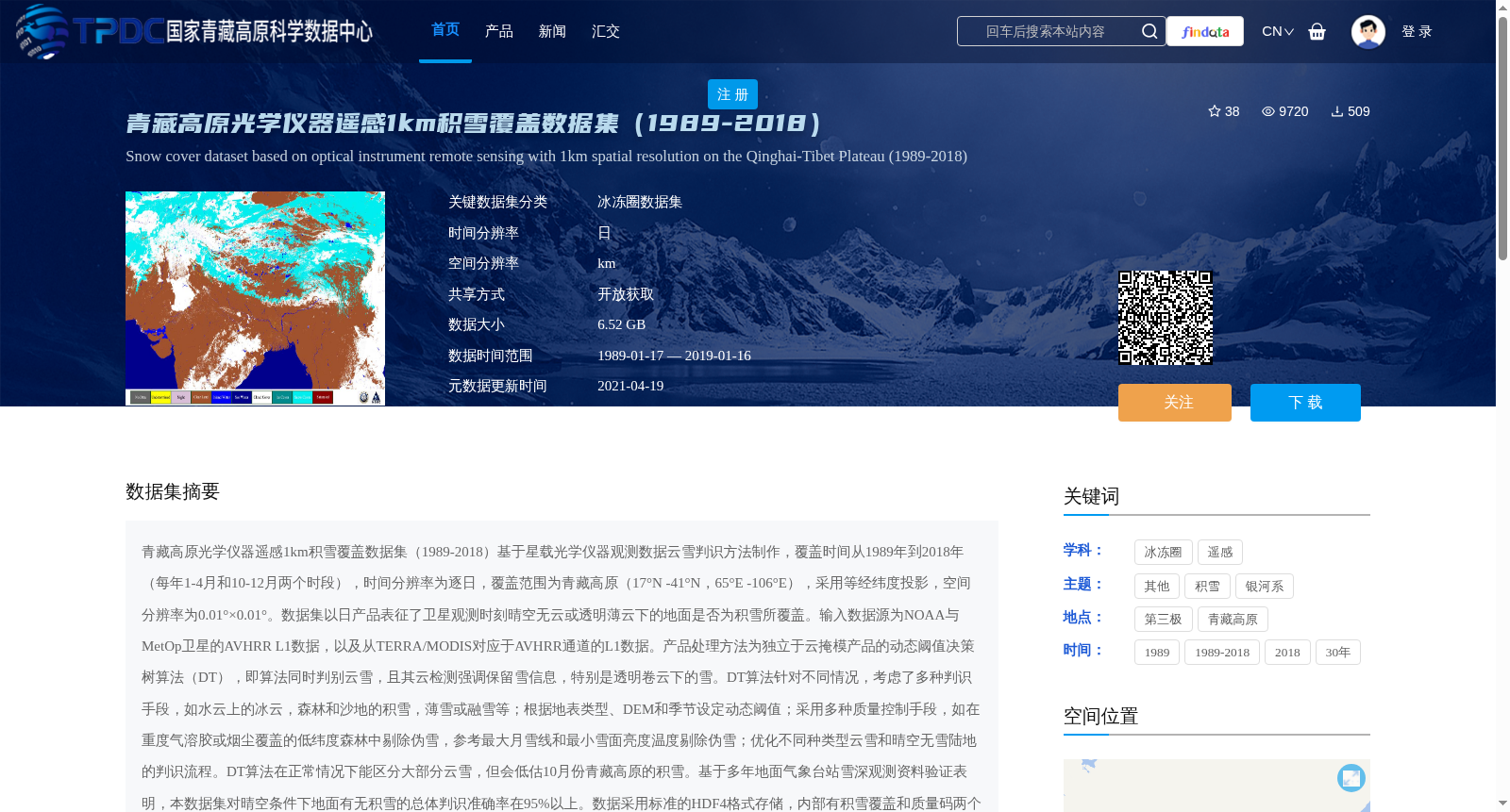
青藏高原光学仪器遥感1km积雪覆盖数据集(1989-2018)基于星载光学仪器观测数据云雪判识方法制作,覆盖时间从1989年到2018年(每年1-4月和10-12月两个时段),时间分辨率为逐日,覆盖范围为青藏高原(17°N -41°N,65°E -106°E),采用等经纬度投影,空间分辨率为0.01°×0.01°。数据集以日产品表征了卫星观测时刻晴空无云或透明薄云下的地面是否为积雪所覆盖。输入数据源为NOAA与MetOp卫星的AVHRR L1数据,以及从TERRA/MODIS对应于AVHRR通道的L1数据。产品处理方法为独立于云掩模产品的动态阈值决策树算法(DT),即算法同时判别云雪,且其云检测强调保留雪信息,特别是透明卷云下的雪。DT算法针对不同情况,考虑了多种判识手段,如水云上的冰云,森林和沙地的积雪,薄雪或融雪等;根据地表类型、DEM和季节设定动态阈值;采用多种质量控制手段,如在重度气溶胶或烟尘覆盖的低纬度森林中剔除伪雪,参考最大月雪线和最小雪面亮度温度剔除伪雪;优化不同种类型云雪和晴空无雪陆地的判识流程。DT算法在正常情况下能区分大部分云雪,但会低估10月份青藏高原的积雪。基于多年地面气象台站雪深观测资料验证表明,本数据集对晴空条件下地面有无积雪的总体判识准确率在95%以上。数据采用标准的HDF4格式存储,内部有积雪覆盖和质量码两个SDS,维度均为4100列×2400行,且文件内部有完备的属性描述。
The 1 km Snow Cover Dataset over the Tibetan Plateau (1989–2018) was developed using cloud-snow discrimination methods based on space-borne optical instrument observation data. The dataset covers the period from 1989 to 2018, with two seasonal windows annually: January–April and October–December, and has a daily temporal resolution. Its spatial coverage is the Tibetan Plateau (17°N – 41°N, 65°E – 106°E), using an equirectangular projection with a spatial resolution of 0.01° × 0.01°.
This dataset uses daily products to characterize whether the ground is covered by snow under cloud-free or thin transparent cloud conditions at the time of satellite observation. The input data sources include AVHRR L1 data from NOAA and MetOp satellites, as well as MODIS L1 data corresponding to the AVHRR channels from TERRA/MODIS.
The product processing adopts a dynamic threshold decision tree (DT) algorithm independent of cloud mask products, which simultaneously discriminates clouds and snow. The cloud detection step prioritizes retaining snow information, especially snow beneath transparent cirrus clouds. The DT algorithm incorporates multiple discrimination approaches for different scenarios, such as ice clouds over water bodies, snow over forests and sandy areas, light snow or snowmelt. It sets dynamic thresholds based on land surface types, DEM and seasons, and adopts various quality control measures: removing false snow in low-latitude forests covered by heavy aerosols or smoke, eliminating false snow by referencing the maximum monthly snow line and minimum snow surface brightness temperature, and optimizing the discrimination workflow for different types of cloud-snow and cloud-free snow-free land surfaces.
Under normal circumstances, the DT algorithm can distinguish most cloud and snow signals, but it underestimates snow cover over the Tibetan Plateau in October. Validation based on multi-year ground meteorological station snow depth observation data indicates that the overall accuracy of the dataset's discrimination of snow presence/absence under clear-sky conditions exceeds 95%.
The data is stored in the standard HDF4 format, containing two Scientific Data Sets (SDS): snow cover and quality code, both with dimensions of 4100 columns × 2400 rows. The file also includes complete attribute descriptions.
提供机构:
郑照军,除多
创建时间:
2019-05-17
搜集汇总
数据集介绍
背景与挑战
背景概述
该数据集为青藏高原1989年至2018年(每年1-4月和10-12月)的日积雪覆盖产品,基于NOAA、MetOp和TERRA/MODIS卫星的光学遥感数据,采用动态阈值决策树算法生成,空间分辨率为1km(0.01°×0.01°)。它覆盖17°N-41°N、65°E-106°E区域,通过HDF4格式存储,验证表明晴空条件下积雪判识准确率超过95%,但可能低估10月份积雪量。
以上内容由遇见数据集搜集并总结生成


