
USTC FLICAR Dataset
收藏资源简介:
USTC FLICAR数据集由中国科学技术大学创建,专注于重型自主空中作业机器人的同时定位与地图构建及精确三维重建。该数据集基于名为“长颈鹿”的基于高空作业车的机器人平台,装备有四种3D激光雷达、两对立体相机、两个单目相机、惯性测量单元(IMU)和GNSS/INS系统。数据集扩展了典型的自动驾驶感知系统,结合高空作业车,创建了一个多功能的自主空中作业平台。此外,基于Segment Anything Model(SAM),生成了提供多模态连续数据在时空维度上的精细语义分割标注的Semantic FLICAR数据集。该数据集旨在解决复杂空中作业环境中的感知和交互问题,提高作业效率和安全性。
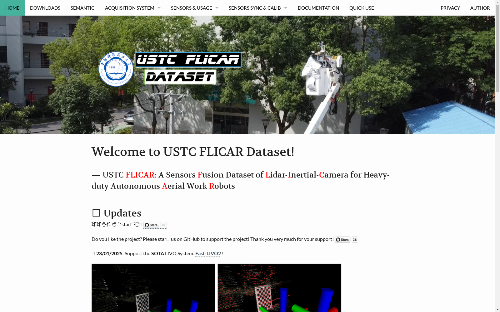
USTC FLICAR Dataset is developed by the University of Science and Technology of China, focusing on simultaneous localization and mapping (SLAM) and accurate 3D reconstruction for heavy-duty autonomous aerial working robots. This dataset is based on an aerial lift vehicle-mounted robotic platform named "Giraffe", which is equipped with four 3D LiDARs, two pairs of stereo cameras, two monocular cameras, an Inertial Measurement Unit (IMU), and a GNSS/INS system. The dataset expands upon typical autonomous driving perception systems and integrates with aerial lift vehicles to create a multifunctional autonomous aerial working platform. Furthermore, based on the Segment Anything Model (SAM), the Semantic FLICAR dataset has been generated, which provides fine-grained semantic segmentation annotations for multi-modal sequential data across spatial and temporal dimensions. This dataset aims to address perception and interaction problems in complex aerial working environments, and improve operational efficiency and safety.
- 1USTC FLICAR: A Sensors Fusion Dataset of LiDAR-Inertial-Camera for Heavy-duty Autonomous Aerial Work Robots中国科学技术大学 · 2023年


