SoilGrids - Global Soil Information
收藏soilgrids.org2024-10-26 收录
下载链接:
https://soilgrids.org/
下载链接
链接失效反馈官方服务:
资源简介:
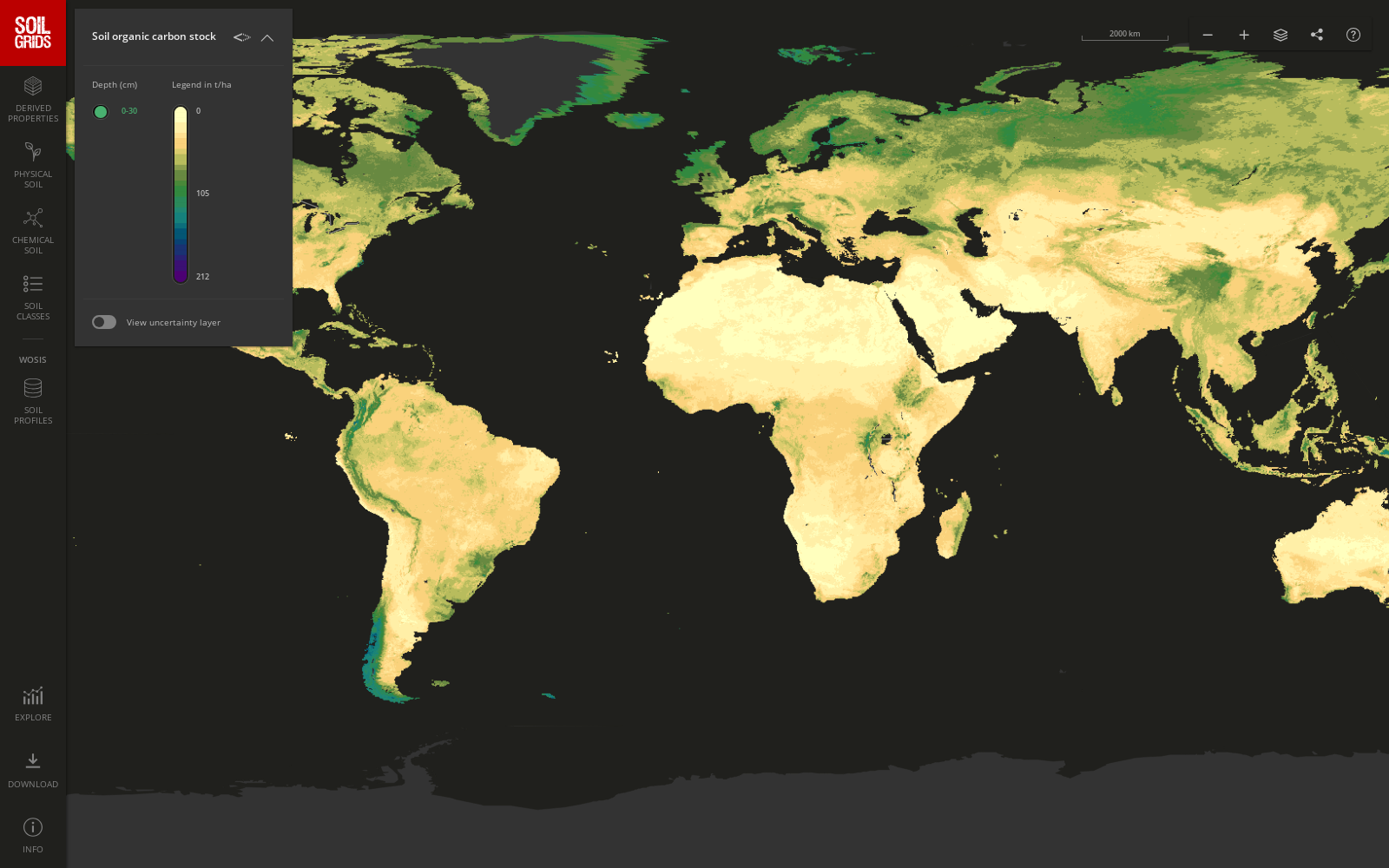
SoilGrids数据集提供了全球范围内的土壤属性信息,包括土壤类型、质地、有机质含量、pH值等,数据分辨率为250米。
SoilGrids dataset provides global-scale soil attribute information, including soil type, texture, organic matter content, pH value and more, with a spatial resolution of 250 meters.
提供机构:
soilgrids.org
搜集汇总
数据集介绍
构建方式
SoilGrids数据集的构建基于全球范围内的土壤采样数据和遥感技术。通过整合来自多个来源的土壤属性数据,包括实验室分析和现场测量,结合高分辨率遥感影像,利用机器学习算法进行空间插值和预测,从而生成全球尺度的土壤属性分布图。这一过程确保了数据的空间连续性和高精度,为全球土壤信息的系统化管理提供了坚实基础。
特点
SoilGrids数据集以其全球覆盖和高分辨率著称,涵盖了多种土壤属性,如土壤质地、有机质含量和土壤深度等。其数据精度经过多重验证,确保了在全球范围内的可靠性和一致性。此外,该数据集还提供了多种格式的数据下载,便于不同领域的研究人员和决策者使用。
使用方法
SoilGrids数据集可广泛应用于农业、环境科学和土地管理等领域。研究人员可以通过下载数据集中的栅格文件,进行土壤属性的空间分析和建模。决策者则可以利用这些数据进行土地利用规划和环境影响评估。此外,数据集还支持API接口,方便用户进行定制化的数据查询和分析。
背景与挑战
背景概述
SoilGrids - Global Soil Information数据集由国际土壤参考与信息中心(ISRIC)主导开发,旨在提供全球范围内的土壤属性空间分布数据。该数据集的创建始于2016年,主要研究人员包括Tomislav Hengl和Giuseppe de Maria等,他们利用先进的遥感技术和地理信息系统(GIS)对全球土壤进行了高分辨率的数字化建模。核心研究问题是如何在全球尺度上准确预测和映射土壤属性,如土壤质地、有机质含量和土壤深度等。这一数据集对农业科学、环境管理和生态研究等领域产生了深远影响,为全球土壤资源的可持续利用提供了重要数据支持。
当前挑战
SoilGrids数据集在构建过程中面临多项挑战。首先,全球土壤数据的异质性和不均匀性使得数据整合和标准化成为一大难题。其次,高分辨率土壤属性预测需要大量的计算资源和复杂的模型算法,这对数据处理能力和技术提出了高要求。此外,数据集的更新和维护也是一个持续的挑战,因为土壤属性会随时间变化,需要定期更新以保持数据的准确性和时效性。最后,如何在全球范围内推广和应用这一数据集,确保其在不同地理和气候条件下的适用性,也是当前研究的重点。
发展历史
创建时间与更新
SoilGrids数据集的创建始于2016年,由国际土壤参考与信息中心(ISRIC)主导开发。该数据集自创建以来,经历了多次更新,最近一次重大更新发生在2020年,显著提升了数据的质量和覆盖范围。
重要里程碑
SoilGrids数据集的一个重要里程碑是其在2017年首次发布的全球土壤属性预测模型,这一模型基于机器学习算法,整合了多种地理空间数据源,为全球范围内的土壤科学研究提供了前所未有的数据支持。随后,2019年的更新引入了更高分辨率的数据,使得土壤属性的空间分布更加精细。2020年的更新则进一步优化了数据处理流程,增强了数据的可访问性和应用性。
当前发展情况
当前,SoilGrids数据集已成为全球土壤科学研究的重要基石,广泛应用于农业、环境科学和生态学等领域。其高精度的土壤属性数据为全球气候模型、土地利用规划和农业生产提供了关键信息。此外,SoilGrids数据集的开放获取政策促进了国际合作与知识共享,推动了全球土壤资源的可持续管理。未来,随着技术的进步和数据源的扩展,SoilGrids有望继续提升其数据质量和应用范围,为全球环境治理和可持续发展做出更大贡献。
发展历程
- SoilGrids数据集首次发表,提供了全球范围内的土壤属性空间分布数据。
- SoilGrids数据集首次应用于全球土壤碳储量估算研究,展示了其在环境科学中的应用潜力。
- SoilGrids数据集被整合到全球农业监测系统中,支持农业生产决策。
- SoilGrids数据集更新,增加了更多土壤属性和更高分辨率的数据层。
- SoilGrids数据集在全球气候变化研究中得到广泛应用,支持土壤碳循环模型的构建。
- SoilGrids数据集被用于全球土壤健康评估,为可持续发展目标提供数据支持。
常用场景
经典使用场景
在地球科学领域,SoilGrids - Global Soil Information数据集以其全球覆盖的土壤属性信息而著称。该数据集通过整合多源遥感数据和地面测量数据,提供了高分辨率的土壤质地、有机质含量、pH值等关键参数。这些数据被广泛应用于土壤科学研究中,特别是在全球尺度上评估土壤肥力和土地利用变化的影响。
衍生相关工作
基于SoilGrids数据集,许多后续研究工作得以开展。例如,有研究利用该数据集开发了全球土壤质量评估模型,进一步提升了土壤健康监测的精度。同时,该数据集还促进了多学科交叉研究,如结合气候模型预测未来土壤变化趋势。这些衍生工作不仅丰富了土壤科学的研究内容,也为全球环境政策的制定提供了科学依据。
数据集最近研究
最新研究方向
在土壤科学领域,SoilGrids数据集的最新研究方向主要集中在利用高分辨率遥感技术和机器学习算法,以提升全球土壤属性的空间预测精度。研究者们通过整合多源遥感数据和实地测量数据,构建更为精细的土壤属性预测模型,从而为农业管理、生态保护和气候变化研究提供更精确的土壤信息支持。此外,该数据集的应用也扩展到土壤碳储量估算和土地利用变化对土壤质量影响的研究,为全球环境政策的制定提供了科学依据。
相关研究论文
- 1SoilGrids250m: Global gridded soil information based on machine learningISRIC - World Soil Information · 2017年
- 2Global mapping of soil organic carbon at 250 m resolutionUniversity of California, Berkeley · 2019年
- 3SoilGrids 2.0: producing soil information for the globe with quantified spatial uncertaintyISRIC - World Soil Information · 2020年
- 4Global soil organic carbon stocks and changes from 1901 to 2012University of California, Berkeley · 2018年
- 5Global Soil Organic Carbon Estimation Using Machine Learning and SoilGrids DataUniversity of California, Riverside · 2021年
以上内容由遇见数据集搜集并总结生成


