新疆1:25万湖泊与河流分布数据(2000年)
收藏国家地球系统科学数据中心2017-10-23 更新2024-03-04 收录
下载链接:
https://www.geodata.cn/data/datadetails.html?dataguid=100454067414877&docId=26275
下载链接
链接失效反馈官方服务:
资源简介:
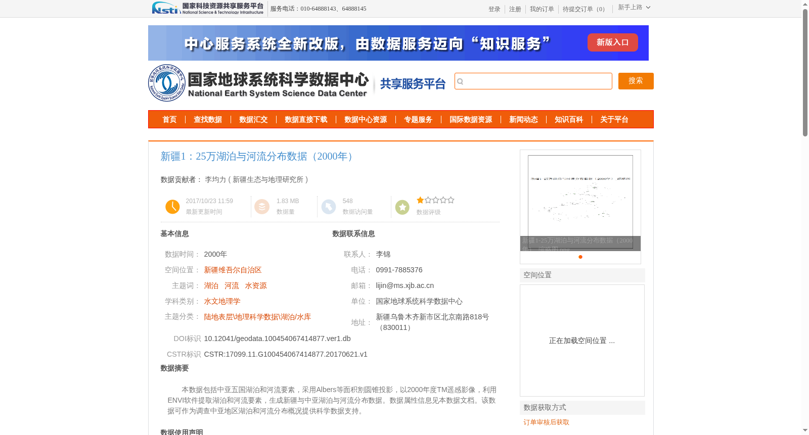
本数据包括中亚五国湖泊和河流要素,采用Albers等面积割圆锥投影,以2000年度TM遥感影像,利用ENVI软件提取湖泊和河流要素,生成新疆与中亚湖泊与河流分布数据。数据属性信息见本数据文档。该数据可作为调查中亚地区湖泊和河流分布概况提供科学数据支持。
This dataset covers lake and river features of the five Central Asian countries. It adopts the Albers equal-area conic projection. Lake and river features were extracted from 2000 TM remote sensing images using ENVI software, and the distribution data of lakes and rivers in Xinjiang and Central Asia were generated accordingly. The attribute information of this dataset is detailed in this data document. This dataset can provide scientific data support for surveys on the general distribution of lakes and rivers in Central Asia.
提供机构:
新疆生态与地理研究所
创建时间:
2017-06-21
搜集汇总
数据集介绍
背景与挑战
背景概述
该数据集是2000年新疆及中亚五国的湖泊与河流分布数据,基于TM遥感影像采用ENVI软件提取生成,采用Albers等面积割圆锥投影。它主要用于支持水文地理学研究,提供该区域水资源的空间分布概况,数据由中国科学院新疆生态与地理研究所独立完成。
以上内容由遇见数据集搜集并总结生成


