
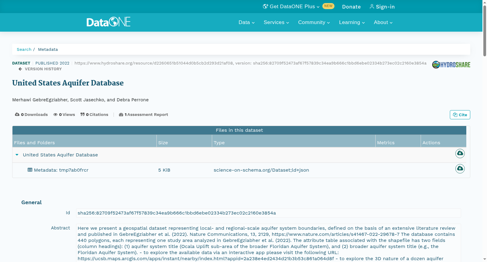
United States Aquifer Database
收藏DataONE2022-04-19 更新2024-06-08 收录
下载链接:
https://search.dataone.org/view/sha256:82709f52473af67f57839c34ea9b666c1bbd6ebe02334b273ec02c2160e3854a
下载链接
链接失效反馈官方服务:
资源简介:
Here we present a geospatial dataset representing local- and regional-scale aquifer system boundaries, defined on the basis of an extensive literature review and published in GebreEgziabher et al. (2022). Nature Communications, 13, 2129, https://www.nature.com/articles/s41467-022-29678-7
The database contains 440 polygons, each representing one study area analyzed in GebreEgziabher et al. (2022). The attribute table associated with the shapefile has two fields (column headings): (1) aquifer system title (Ocala Uplift sub-area of the broader Floridan Aquifer System), and (2) broader aquifer system title (e.g., the Floridan Aquifer System).
- to explore the available data via an interactive app please visit the following URL: https://ucsb.maps.arcgis.com/apps/instant/nearby/index.html?appid=2a238e4ed2434d21b3b53c861a064d8f
- to explore the 3D nature of a dozen aquifer systems please see the following storymap: https://storymaps.arcgis.com/stories/a91f061759e64e44af38daf6cefa4259
本研究发布一套地理空间数据集,用于表征局地与区域尺度的含水层系统边界。该数据集基于广泛的文献调研构建,相关成果已发表于GebreEgziabher等人(2022)的研究,刊载于《自然·通讯》(Nature Communications)第13卷,文章编号2129,原文链接:https://www.nature.com/articles/s41467-022-29678-7
该数据库包含440个多边形要素,每个要素对应GebreEgziabher等人(2022)中分析的一处研究区域。与该形状文件(shapefile)关联的属性表包含两个字段(列标题):(1) 含水层系统名称(即广义佛罗里达含水层系统(Floridan Aquifer System)的奥卡拉隆起子区域);(2) 广义含水层系统名称(例如佛罗里达含水层系统)
- 若需通过交互式应用探索可用数据,请访问以下网址:https://ucsb.maps.arcgis.com/apps/instant/nearby/index.html?appid=2a238e4ed2434d21b3b53c861a064d8f
- 若需查看十余套含水层系统的三维特征,请参阅以下故事地图:https://storymaps.arcgis.com/stories/a91f061759e64e44af38daf6cefa4259
创建时间:
2023-12-30
搜集汇总
数据集介绍
以上内容由遇见数据集搜集并总结生成



