中国青藏高原地区地表温度数据集(2003-2022)
收藏国家青藏高原科学数据中心2025-01-03 更新2025-01-18 收录
下载链接:
https://data.tpdc.ac.cn/zh-hans/data/e8b3256c-4621-4c4c-bf15-a795da0526e6
下载链接
链接失效反馈官方服务:
资源简介:
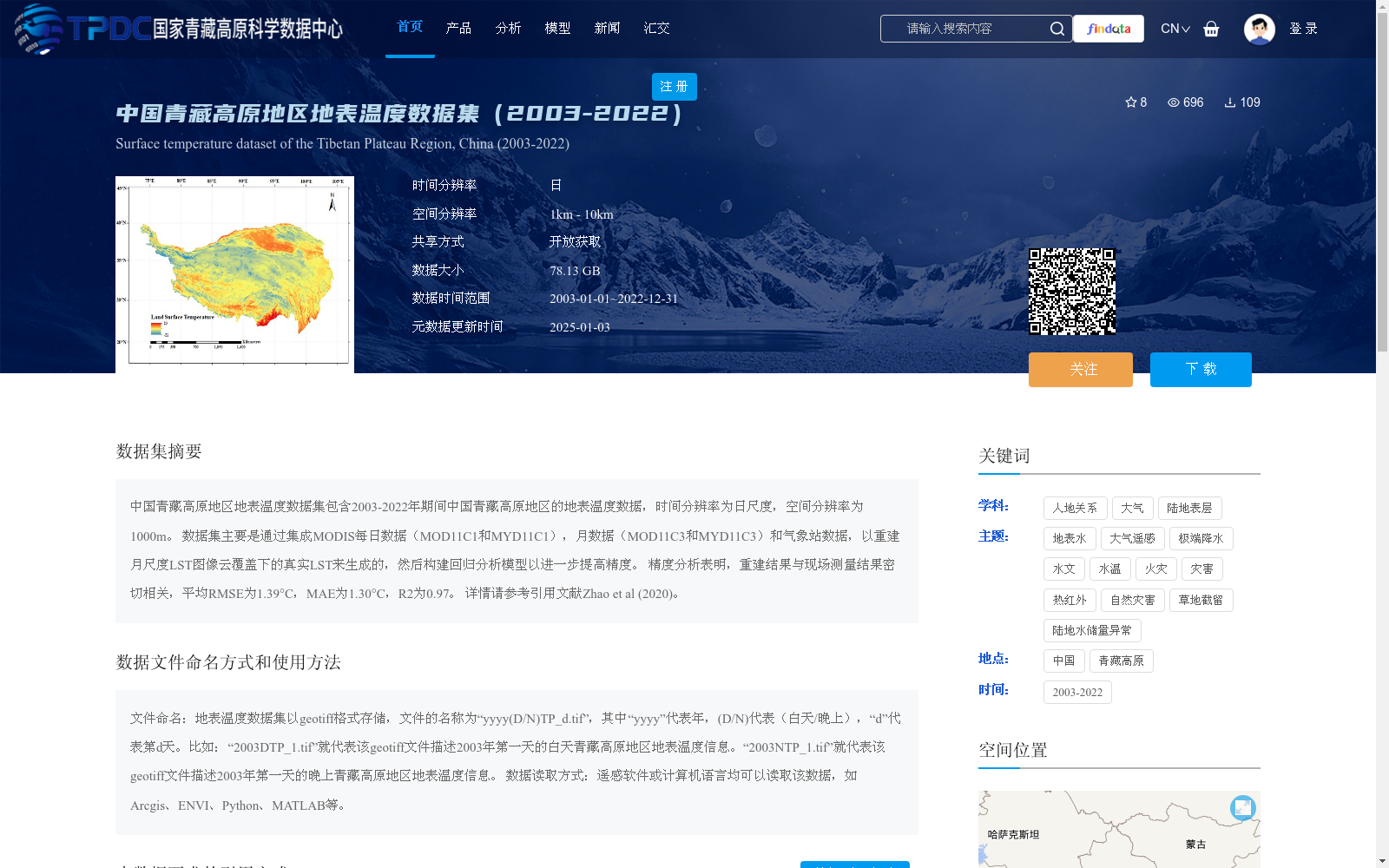
中国青藏高原地区地表温度数据集包含2003-2022年期间中国青藏高原地区的地表温度数据,时间分辨率为日尺度,空间分辨率为1000m。 数据集主要是通过集成MODIS每日数据(MOD11C1和MYD11C1),月数据(MOD11C3和MYD11C3)和气象站数据,以重建月尺度LST图像云覆盖下的真实LST来生成的,然后构建回归分析模型以进一步提高精度。 精度分析表明,重建结果与现场测量结果密切相关,平均RMSE为1.39°C,MAE为1.30°C,R2为0.97。 详情请参考引用文献Zhao et al (2020)。
The Land Surface Temperature (LST) Dataset over the Qinghai-Tibet Plateau, China encompasses land surface temperature data of this region spanning 2003 to 2022, with a daily temporal resolution and a spatial resolution of 1000 meters.
This dataset is primarily generated by integrating MODIS daily products (MOD11C1 and MYD11C1), monthly products (MOD11C3 and MYD11C3) and in-situ meteorological station data, to reconstruct the true LST under cloud cover for monthly LST imagery, followed by the development of regression analysis models to further enhance the accuracy.
Accuracy validation demonstrates that the reconstructed outputs exhibit strong correlation with in-situ measured values, with an average RMSE of 1.39°C, MAE of 1.30°C, and R² of 0.97.
Please refer to Zhao et al. (2020) for detailed information.
提供机构:
毛克彪
创建时间:
2024-10-18
搜集汇总
数据集介绍
背景与挑战
背景概述
该数据集提供了2003年至2022年中国青藏高原地区的日尺度地表温度数据,空间分辨率为1公里。它通过融合MODIS卫星数据和气象站观测重建生成,精度较高(平均RMSE为1.39°C,R²为0.97),适用于气候、水文和环境研究。数据以GeoTIFF格式开放共享,便于遥感软件或编程语言读取使用。
以上内容由遇见数据集搜集并总结生成


